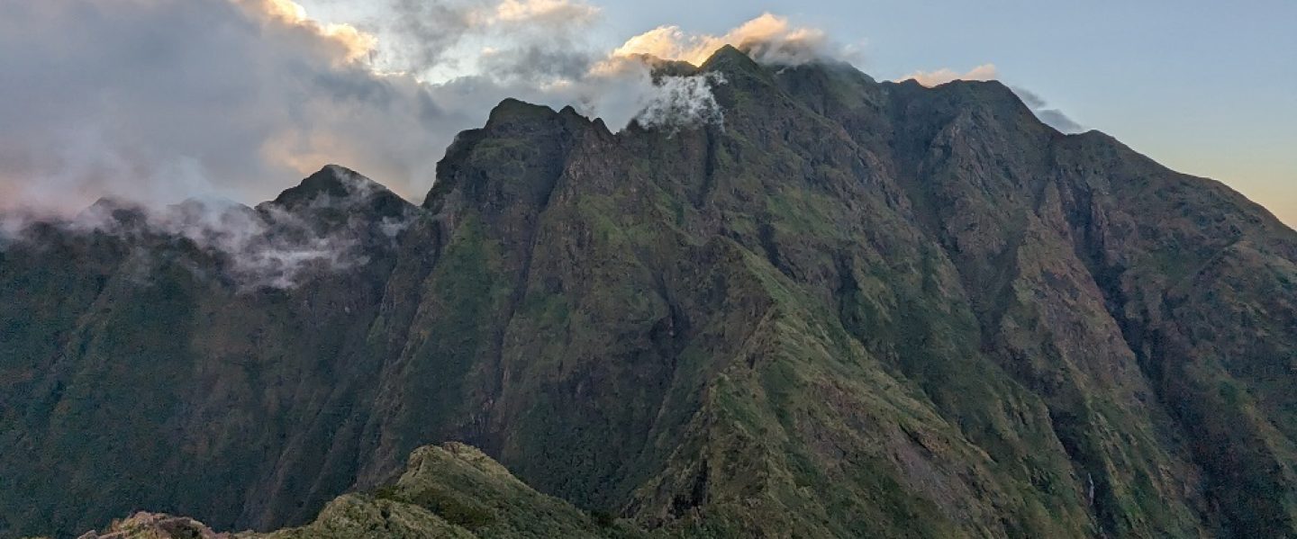
Situated in the historic Tirad Pass National Park, Mt. Binangkaw is a newly-opened mountain in the town of Gregorio Del Pilar, Ilocos Sur. Just like the neighboring Mt. Tirad, Mt. Binangkaw offers splendid views of the outer fringes of the Cordillera Mountain Range in the Ilocos Sur side. Beyond the mountains of Ilocos Sur, Mt. Binangkaw also offers a glimpse into the endless layers of mountains in Mountain Province in the Cordillera Region. The hike up to Mt. Binangkaw offers a manageable near 800-meter ascent that can be a perfect entry and training for major climbs. On the way down, there is an option to take another trail that leads directly to the Seven Bowl Falls, one of the tourist destinations in the town.
Using the Pinoy Mountaineer format, the hike to Mt. Binangkaw can be summarized as follows:
MT. BINANGKAW (TRAVERSE)
Jump-off point: Bussot, Gregorio Del Pilar, Ilocos Sur
Days Required / Hours to Summit: 1 day, 3-4 hours
Specs: Minor to borderline major climb*, Difficulty 4/9, Trail class 2
*Mt. Binangkaw’s trail difficulty is reminiscent of Tarak Ridge and Mt. Pigingan, both rated as 4/9 in the Pinoy Mountaineer website. Whether Mt. Binangkaw is considered a minor or a semi-major climb depends entirely on the fitness level of the hiker, but I don’t think it can be fully considered a major climb.
In hiking Mt. Binangkaw, I was a last-minute joiner in an event led by Abner Saavedra, an acquaintance from the hiking community whom I joined with in my Mt. Labo hike in Camarines Norte back in 2024. After sorting out my life goals and accomplishments in the 4 months of mid-2026 and not being able to hike in that time period, my feet were itching for a relatively easy but moderately challenging hike. Mt. Binangkaw was perfect for this itch!
For this hike, I was fetched at NLEX Sta. Rita Exit at around nine in the evening. We arrived at the covered court of Barangay Bussot in the town of Gregorio Del Pilar in Ilocos Sur past four in the morning. There, we munched on peanut butter-filled sandwiches and drank some morning coffee courtesy of our organizer. We also met with our guides, Rocky and Leopoldo.
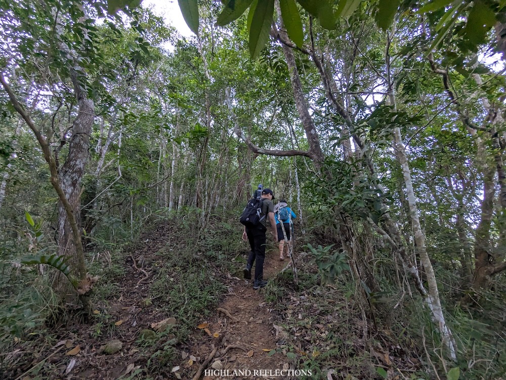
We started the hike past five in the morning. The trailhead is at the back of a house within the barangay (~400 meters above sea level), where we were immediately welcomed with an ascending path! The ascents were nonstop, so we took our time adjusting to the new gradient. Thankfully, I wasn’t adjusting hard given that I have been continuously training for a half-marathon during my hiking hiatus and I joined a 16-kilometer trail run during that time as well, so my body was still accustomed to the challenge provided by the trail.
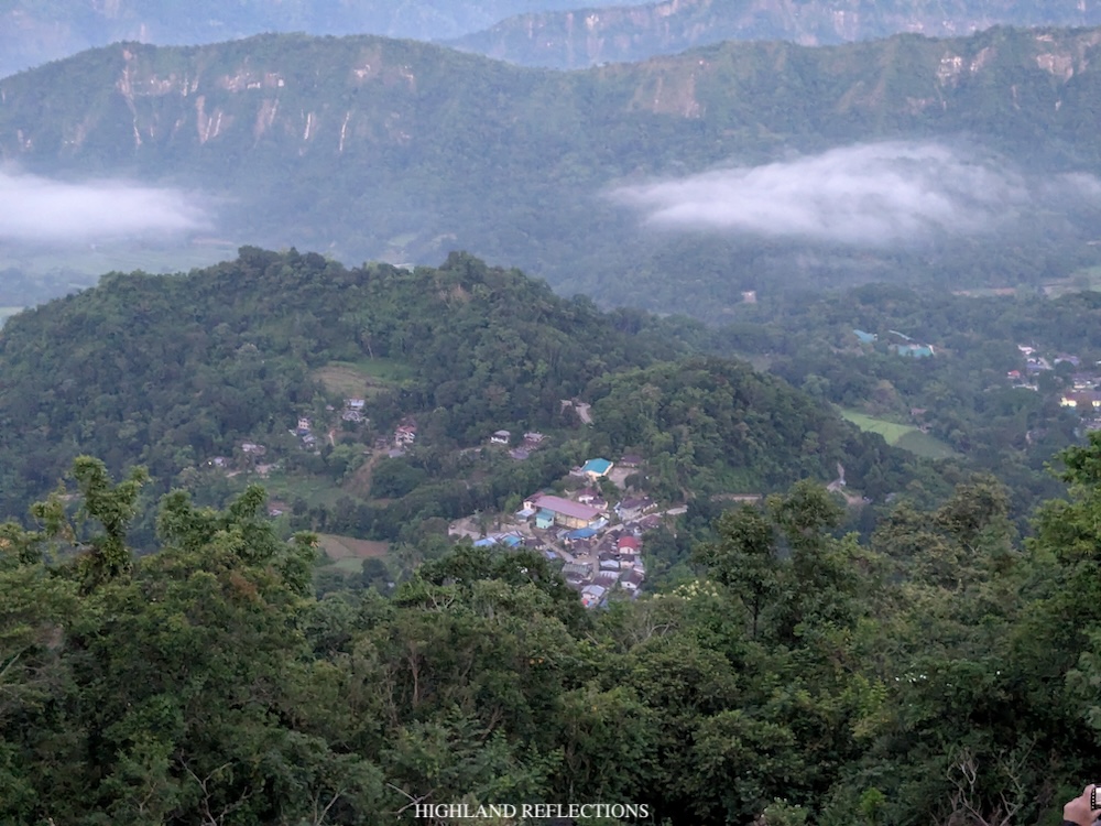
Forty minutes after starting the hike, we arrived at a steep open area where a boulder is perched on top of a cliff. This area was christened by locals as “Bato ng Desisyonan,” as this is the perfect place for hikers, especially for inexperienced beginners, to decide if they would still continue the hike up to Mt. Binangkaw or halt the hike as there is relatively no flat ground until the summit. It’s also noteworthy to consider that Bato ng Desisyonan only sits at around 550+ meters above sea level, still very far from the 1,250 meter-summit of Mt. Binangkaw, so those who would want to turn back can still do so early on.
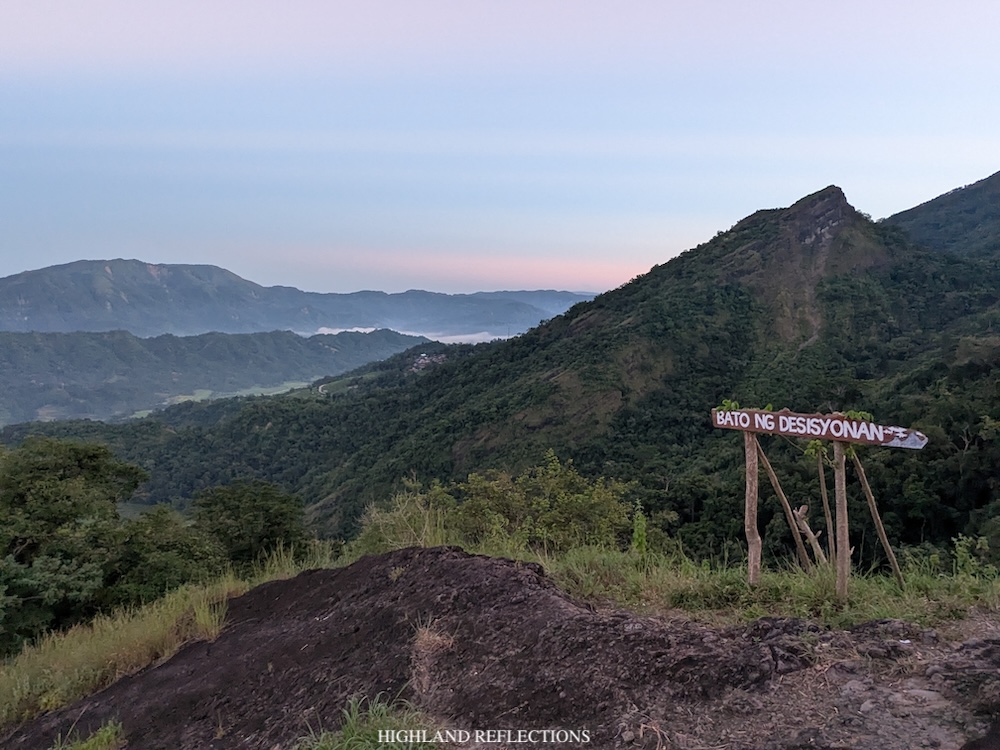
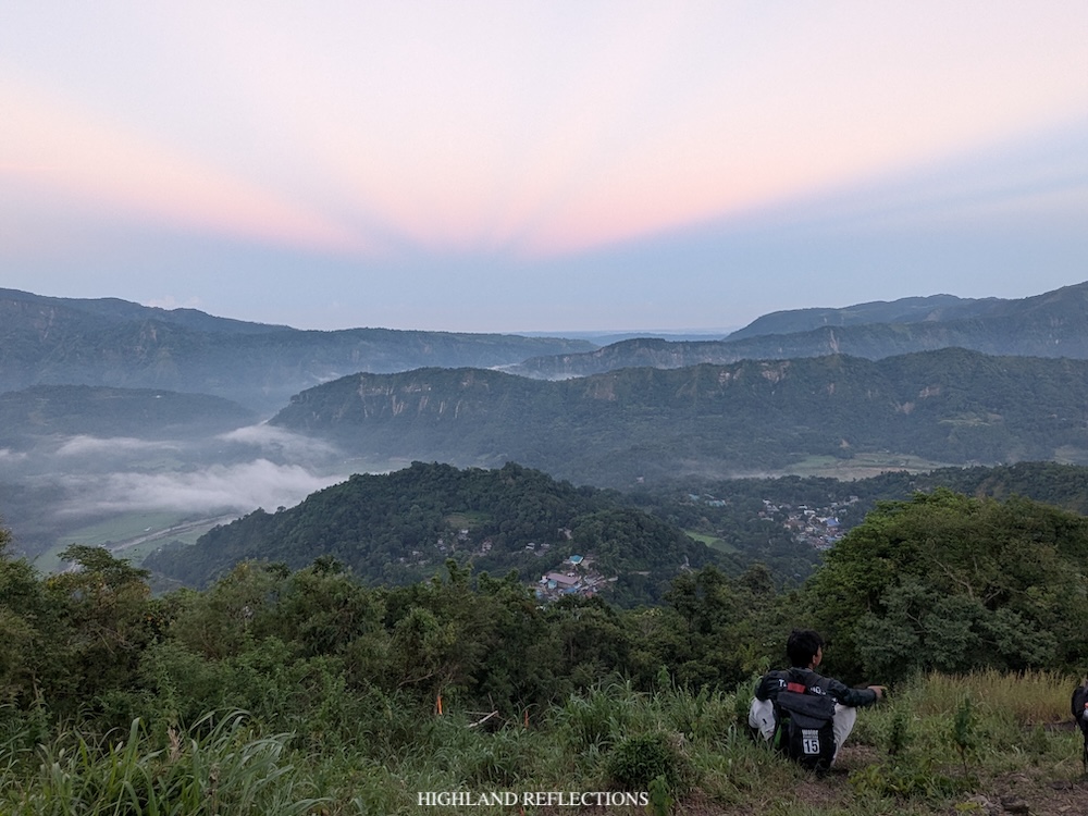
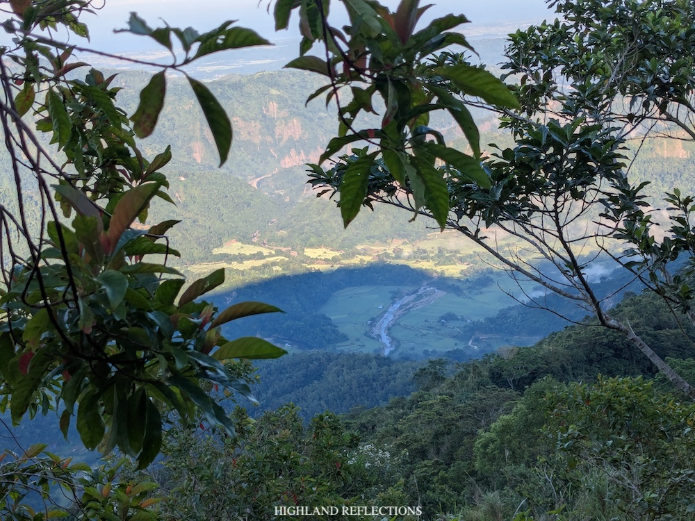
We rested atop of the Bato ng Desyisyonan, taking in the beautiful views of the outer layers of mountain ranges in Ilocos Sur and from afar, the lowland coastal towns of the province and West Philippine Sea. Below us are bucolic sceneries of Bussot and the town of Gregorio Del Pilar, with farmlands stretching across the valley.
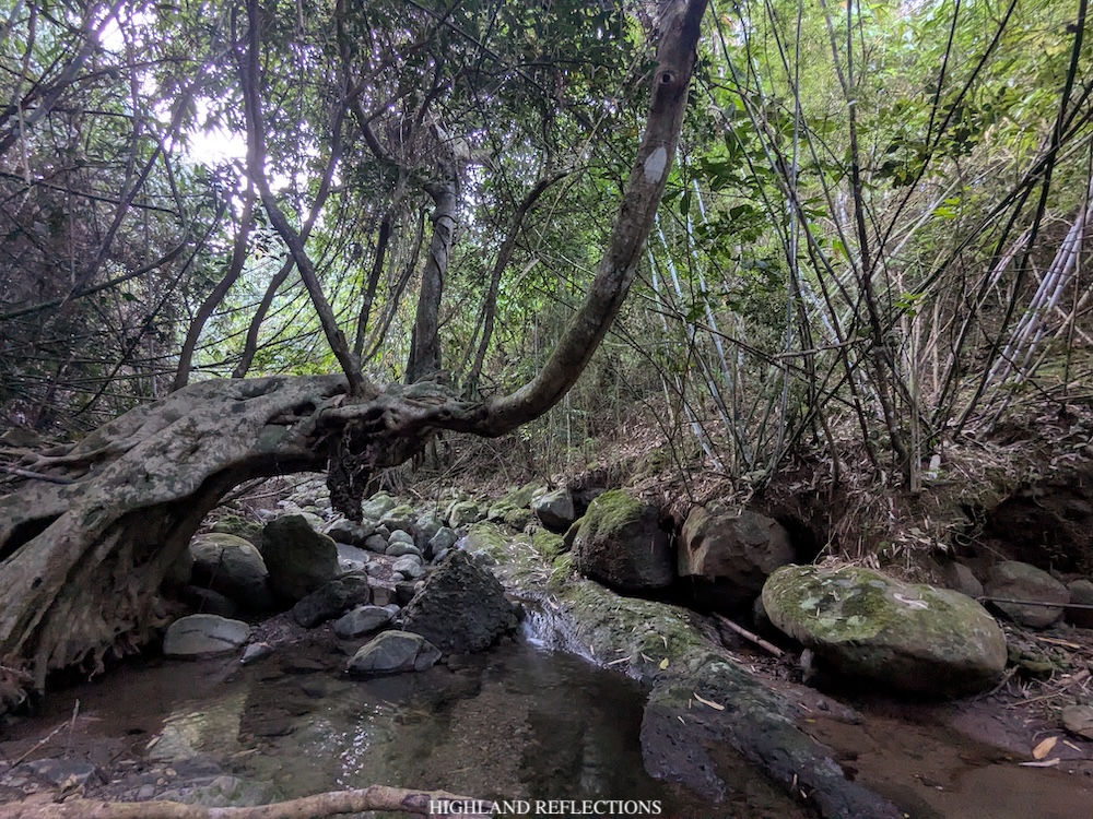
We continued with the hike past the boulder. The trail returned to the usual upward path in the middle of a lowland forest. The ascents were manageable but nonstop, providing a good morning workout. In some parts, the trail would provide open views to our right, where the neighboring stretch of mountain range is visible. At around 6:30 in the morning, we reached a rivulet where we rested. On top of the water is a big slanted tree which we climbed and we took pictures on.
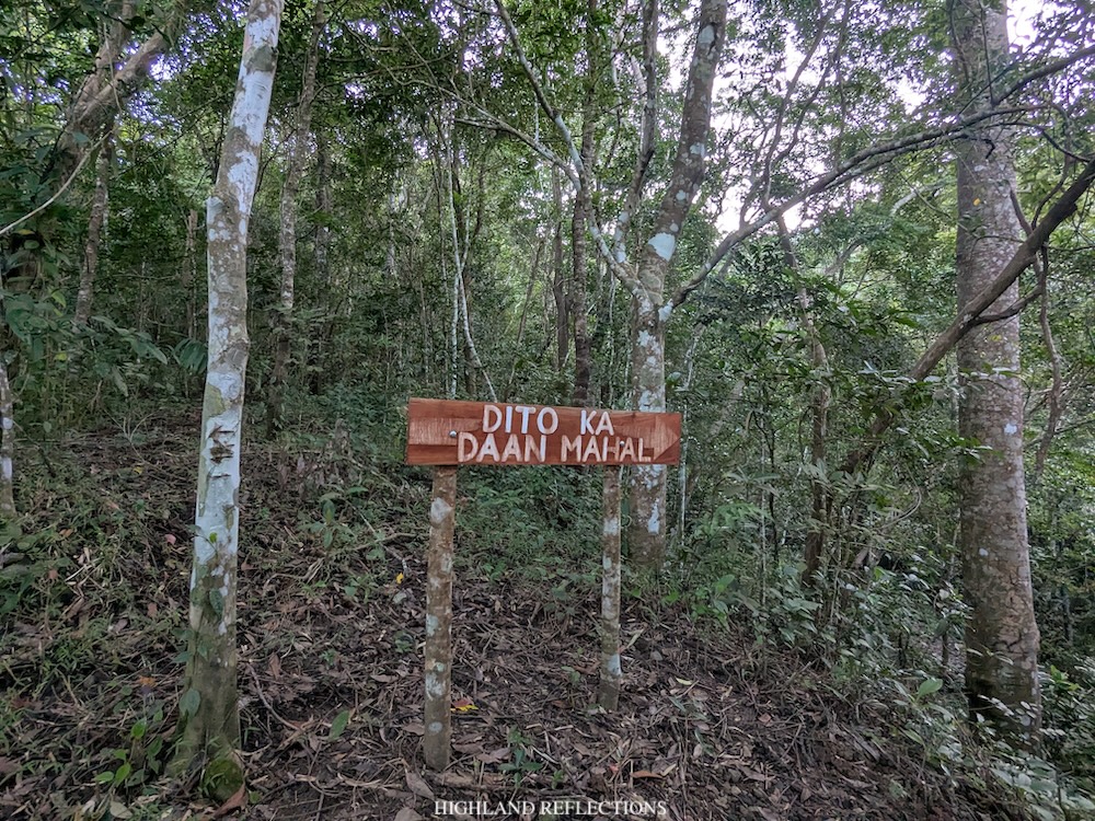
Past the water source, the hike continues up a much more manageable incline still inside the forest. We continued hiking up, until, finally, after an hour of continuous ascent, we finally reached a stretch of grassy slope just 50 meters below the summit. A herd of cows welcomed us here.
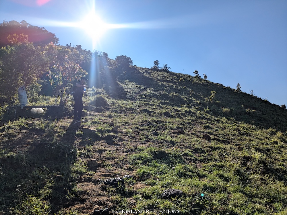
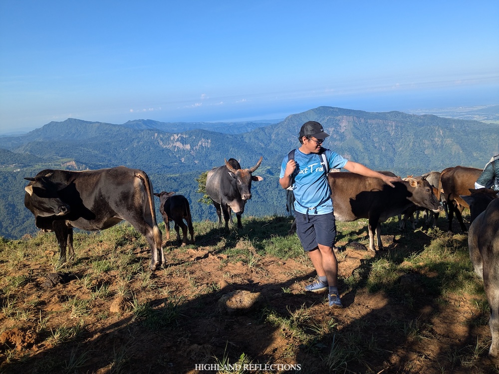
This open area provides a view of the surrounding mountains, and Bussot now way below us. A dominant view in the southern direction is the rear side of Mt. Monserrat (one of the peaks of Mt. Tuwato in the Sigay side). Below Mt. Monserrat is the Poblacion of the town of Sigay located on top of a forested plateau. Beyond these sceneries are, of course, the lowland coastal towns of Ilocos Sur.
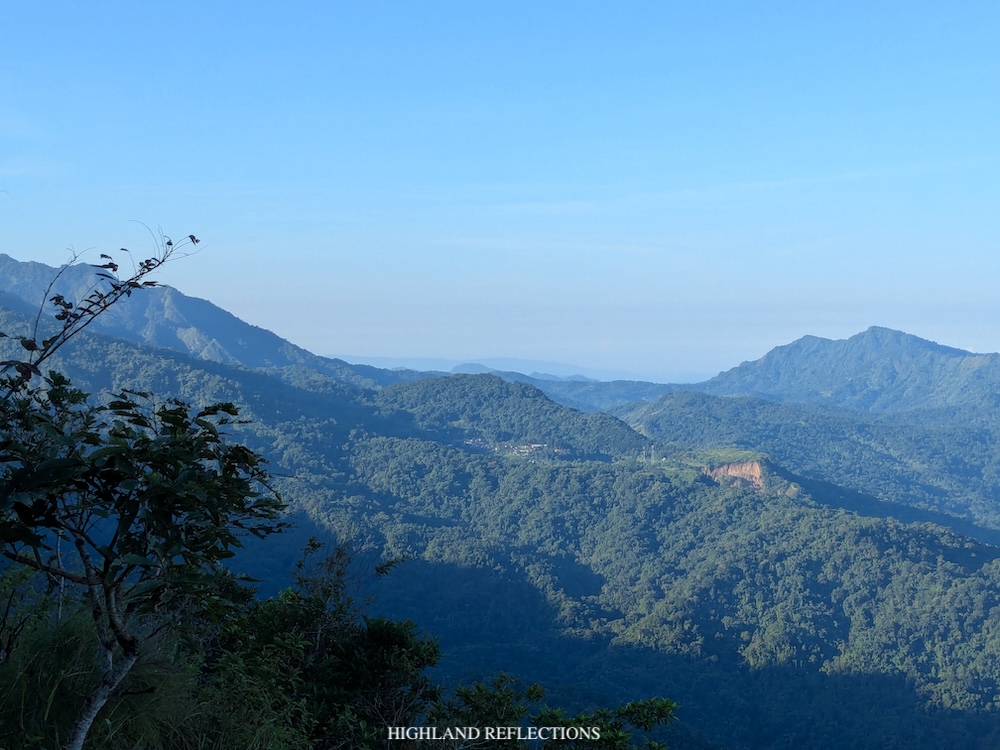
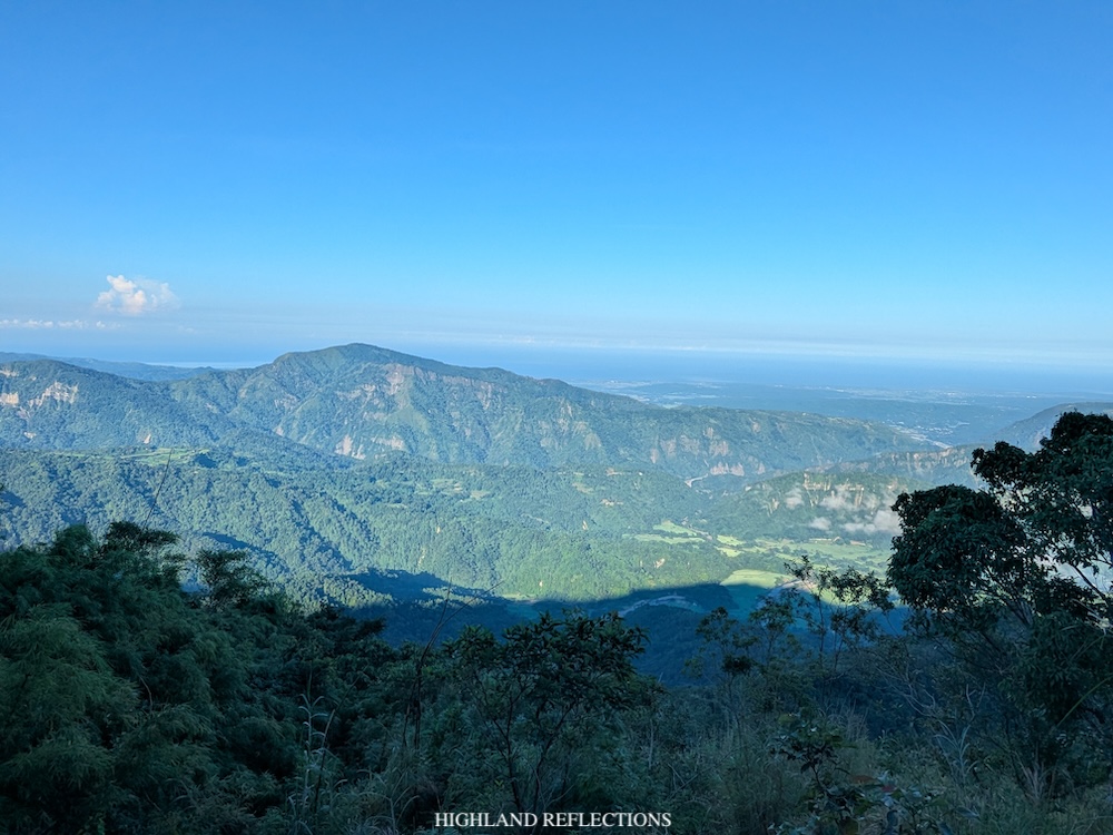
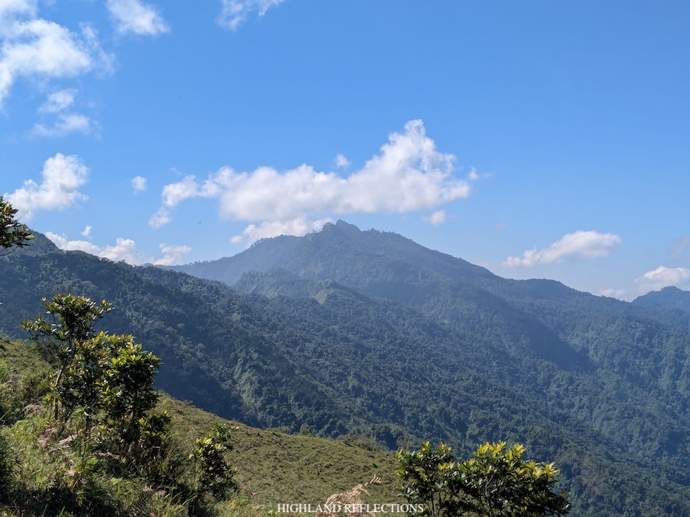
The last stretch of trail going to the summit plateau of Mt. Binangkaw is a short section up a ridge. The trail ends at a small peak located above the summit plateau of the mountain.
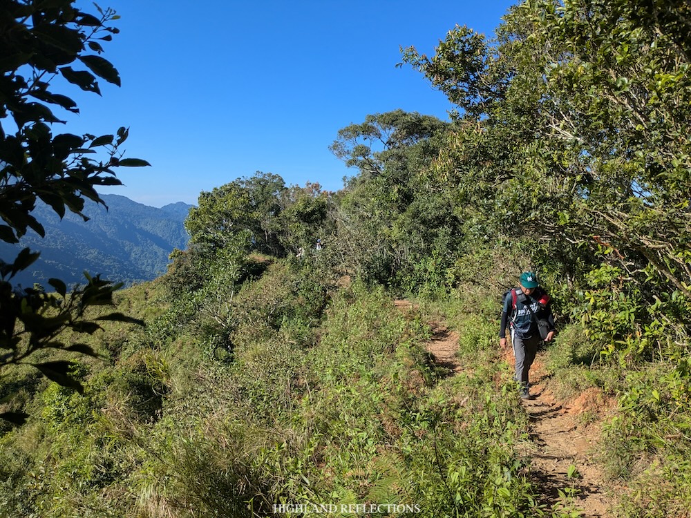
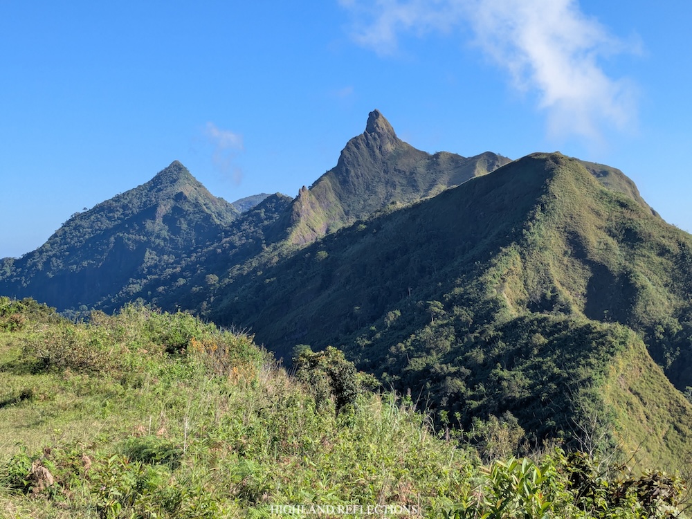
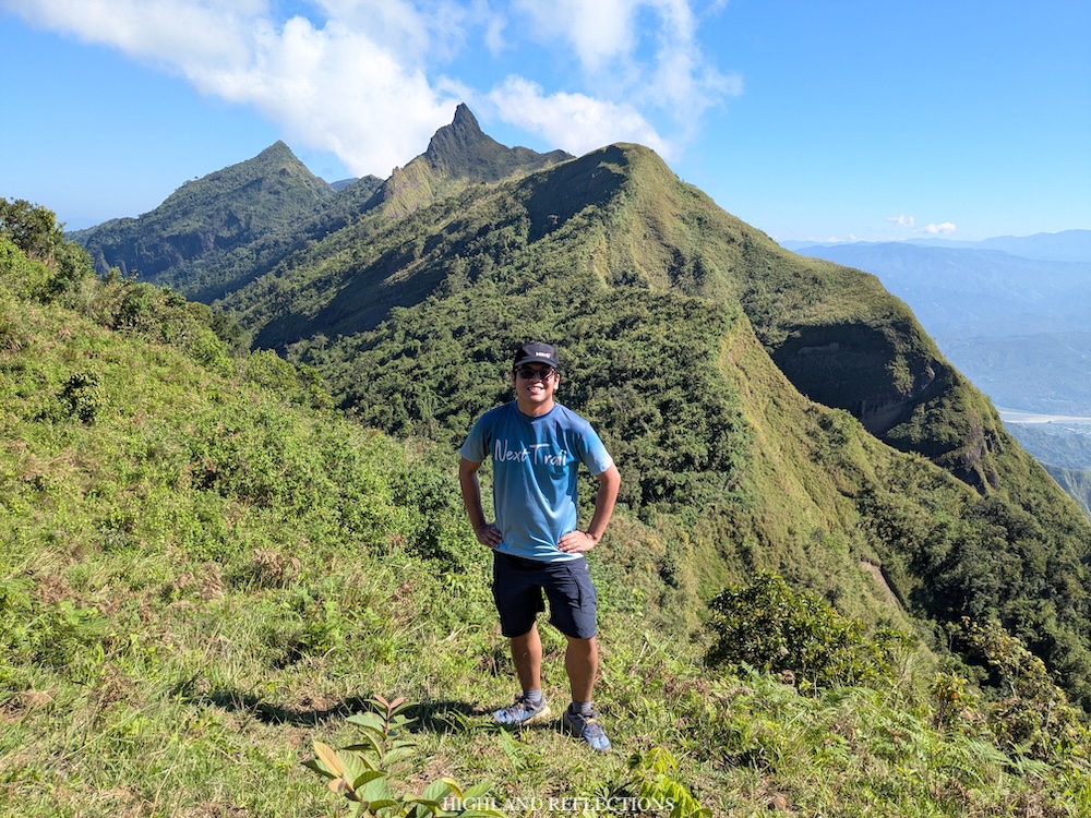
From the peak, the most noticeable view is the entirety of the Tirad Pass mountain range just nearby, with the spiky Tirad Peak dominating most of the panorama. Our guide, Rocky, informed us that they’re still researching where the name ‘Binangkaw’ came from, but I assume that it refers to the spear-like shape of Tirad Peak which is the main attraction atop the summit of Mt. Binangkaw. However, this is still an assumption, as the word ‘binangkaw’ — referring to a bladed spear — originates from the languages in Panay Island in Visayas, located hundreds of kilometers away from Ilocos!
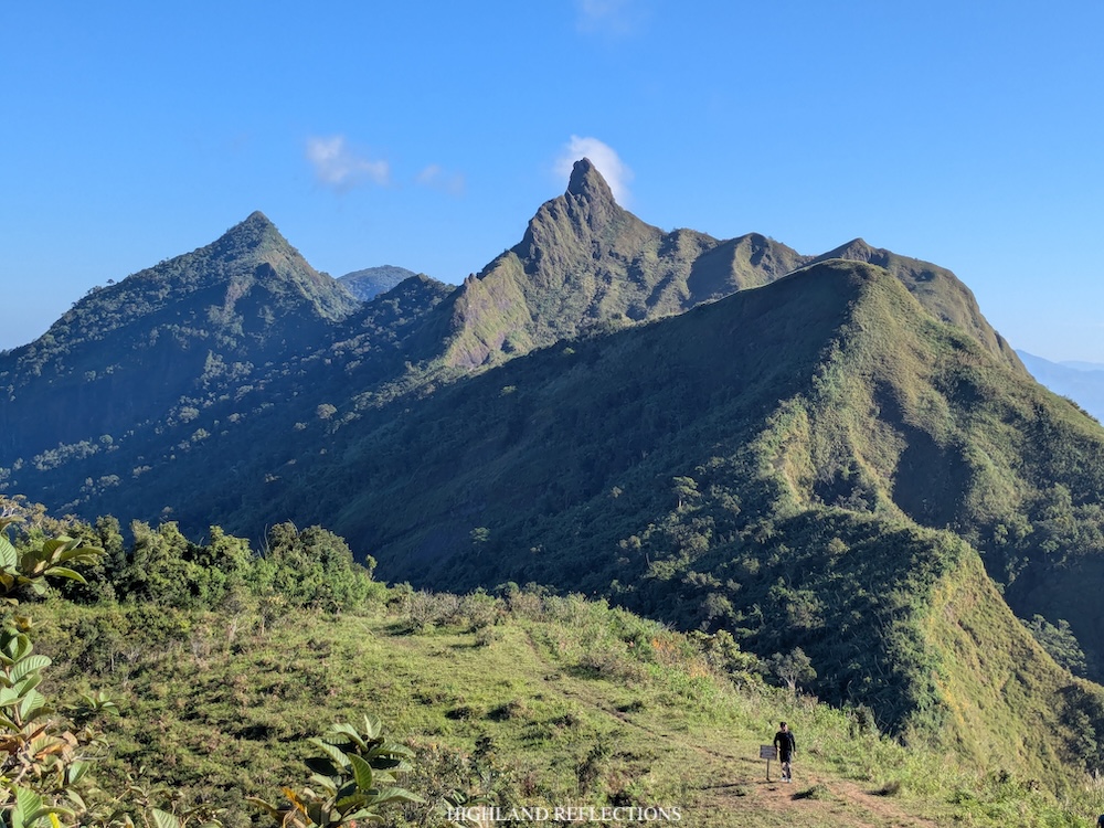
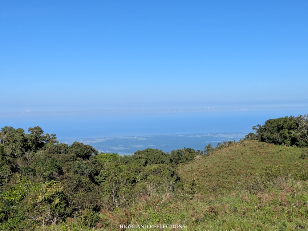
Atop the mountain, we settled at an area on the plateau where a small tree provided a limited shade from the heat of the sun. Interestingly, a cow followed us at the plateau and hung out with us the entire time. At the plateau, we took turns snapping photos at the nearby summit marker, ate our trail food, and drank a cup of simmering morning coffee. Of course, given that I haven’t been in the mountains in nearly four months, I savored in the views of the majestic mountain ranges of the Cordilleras.
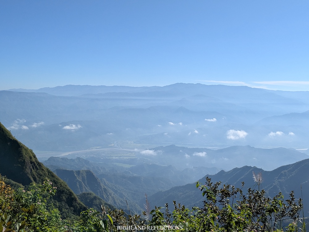
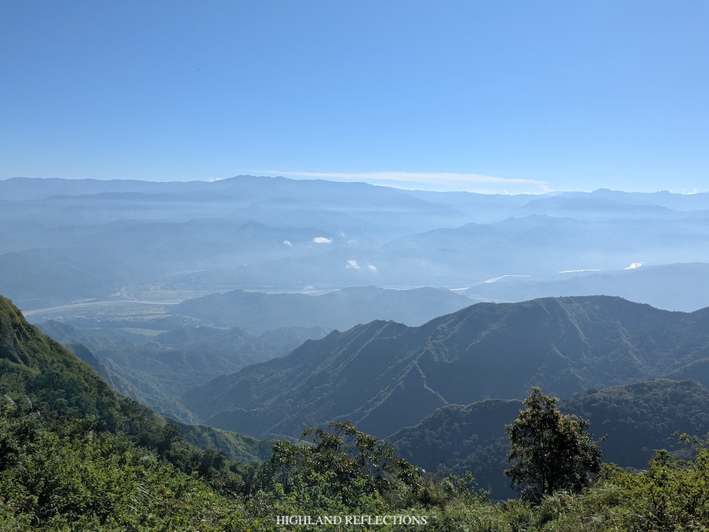
Similar to Tirad Peak, Mt. Binangkaw offers a panoramic view of the nearby valley in the towns of Quirino and Cervantes below. Beyond them are the layers and layers of mountain ranges in the towns of Sagada, Tadian, Besao, Bauko, and beyond them, the province of Kalinga. In the horizon I saw a faint view of Mt. Amuyao and Mt. Kalawitan, two high summits in the island of Luzon.
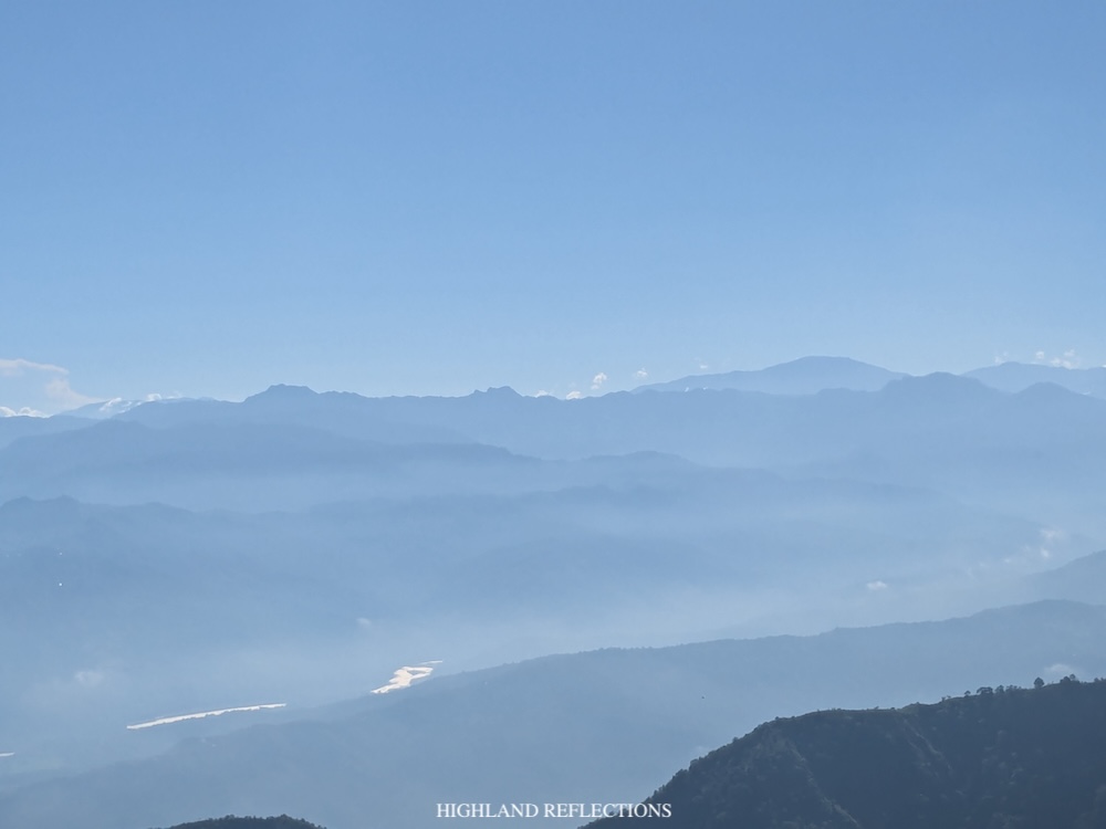
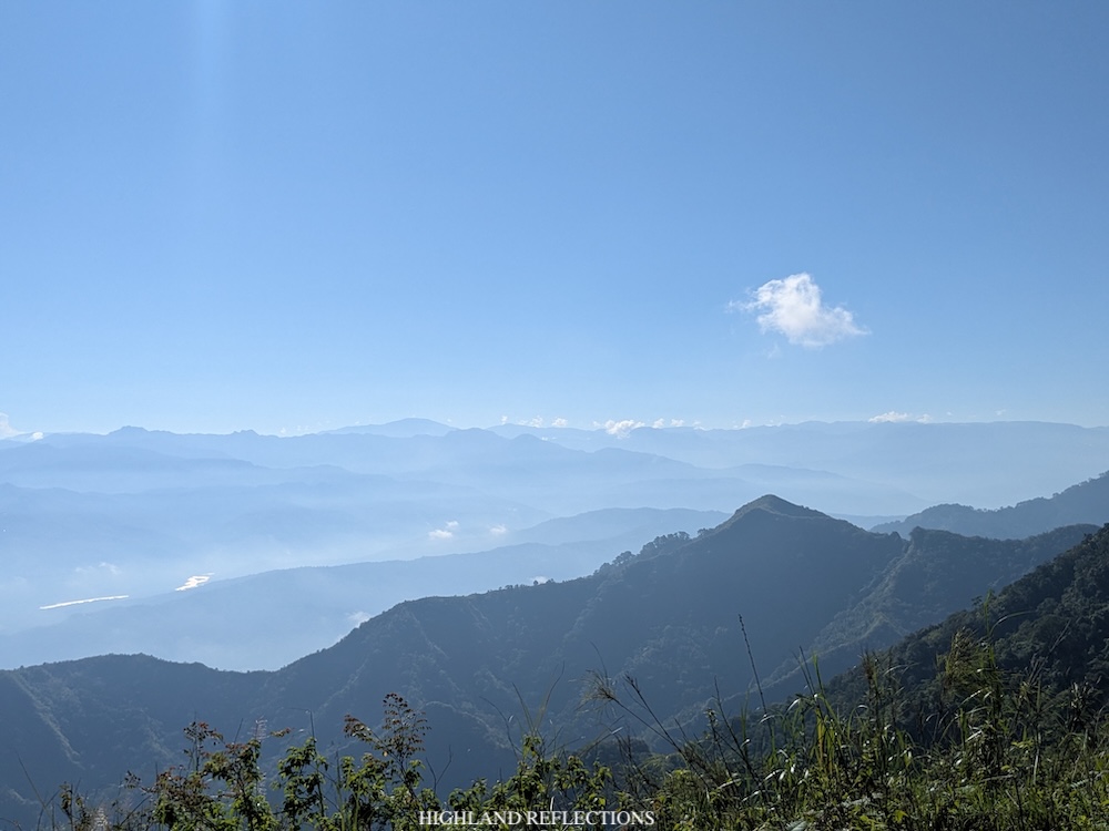
There is also a faint view of the Mt. Data plateau in the southeast direction. Beyond it, a dome-shaped mountain is visible in the horizon. Upon verifying in Google Earth 3D, this was, surprisingly, Mt. Tabayoc, the second highest mountain in Luzon! I was surprised with this since I was expecting to see Mt. Namandiraan, the highest peak of Ilocos Sur. However, there isn’t any chance to see Namandiraan as it is being covered by the nearby mountain slopes beside Mt. Binangkaw.
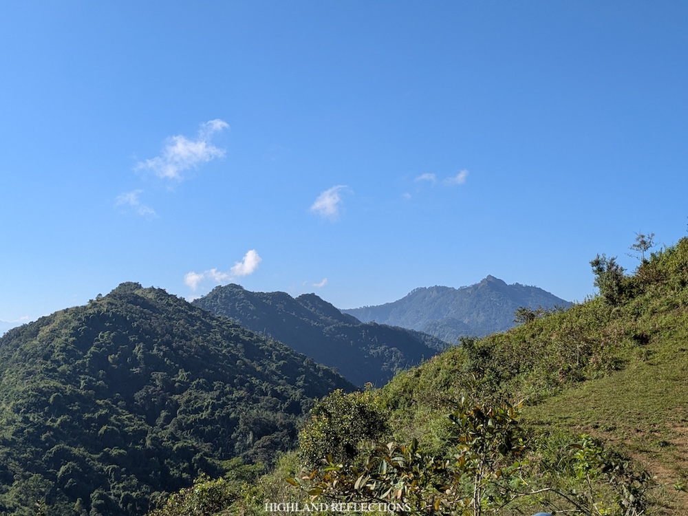
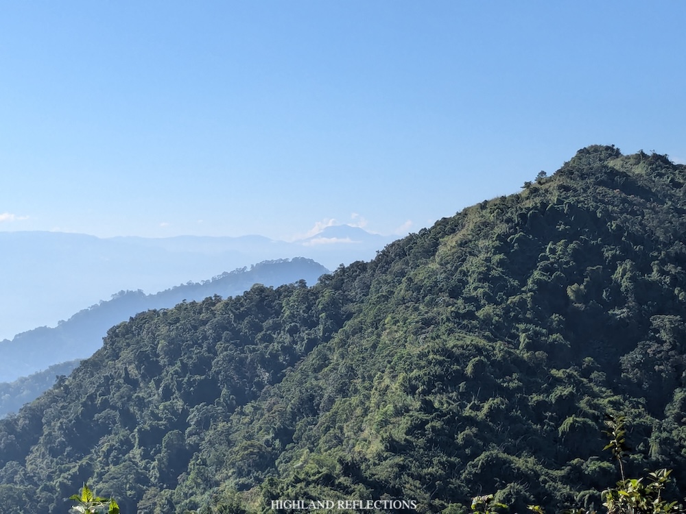
Atop the summit, I can’t help but to stare at the majestic Tirad Peak in front of me. I was able to climb this peak way back in February 2020, serving as my last climb before the COVID-19 pandemic hit the entire world. It is so pointy and lofty that it looks hundreds of meters way above the summit of Mt. Binangkaw, even if in reality, it is only 130 meters higher than the mountain that we were standing on. Behind Tirad Peak are some of the high peaks of the Tirad Pass range, in what I can only assume as Mt. Kinmalugong and Mt. Pettak. These two high mountain peaks can now be climbed together with Tirad Peak, Mt. Binangkaw and Mt. Ngaab, comprising the Tirad Peak Penta Hike. I savored these views before going down.
We started the descent past 9:30 in the morning. From the summit, we backtracked the trail for a little bit then took a left turn at the open grassland we passed by earlier. From here, it was a scorching descent under the watchful eyes of Mt. Monserrat in front of us. Initially, we were enjoying the views provided by the open trail. Our guide even pointed at the swimming pool at the entrance of the Seven Bowl Falls — our endpoint of the traverse hike — way, way below us!
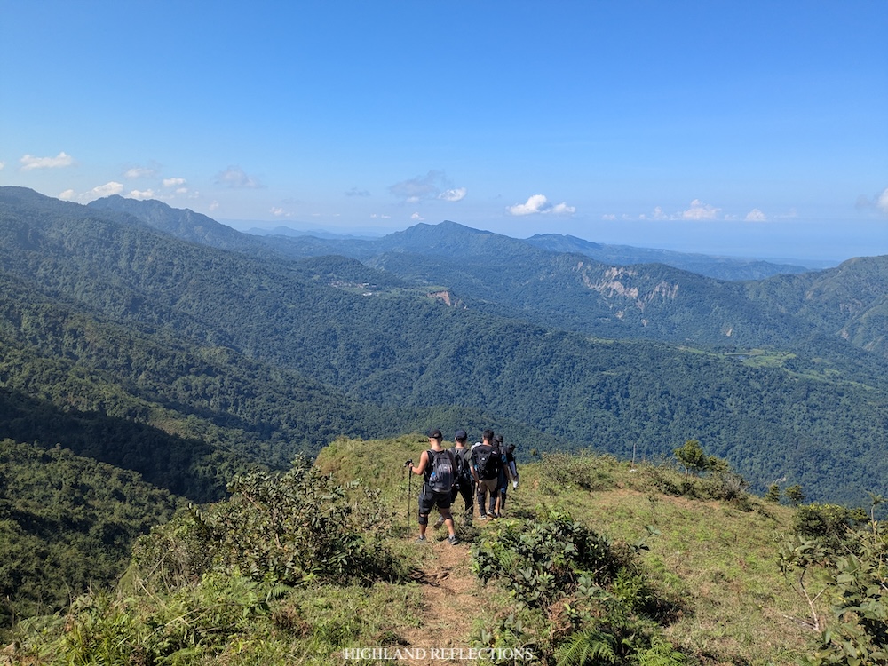
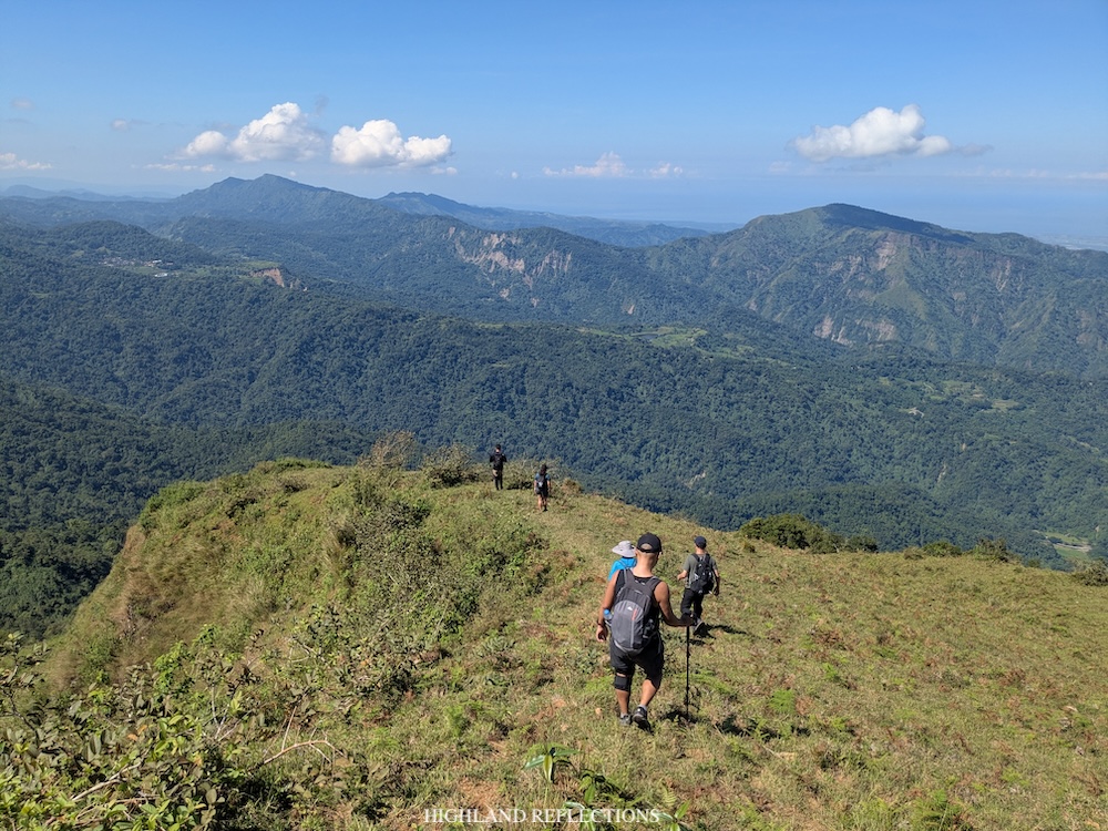
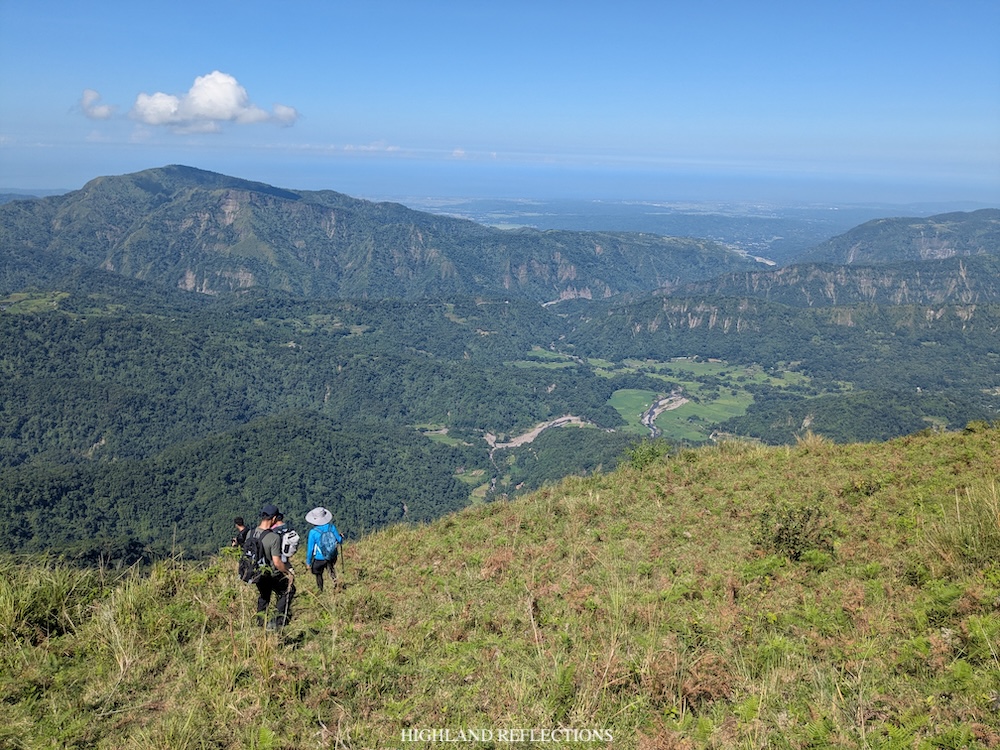
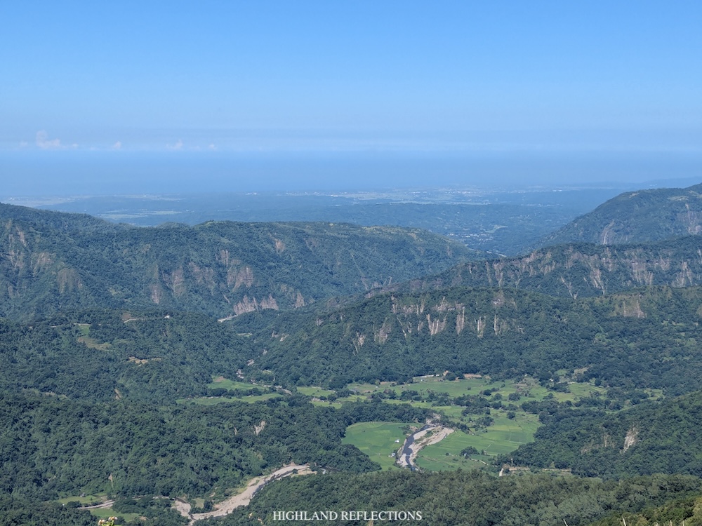
However, just after going down from the plateau, the trail got steeper. Apparently, we were descending the edge of a grassy cliff. The heat of the sun made it a bit more challenging, but I was still able to descend even with my umbrella on.
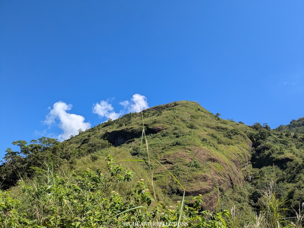
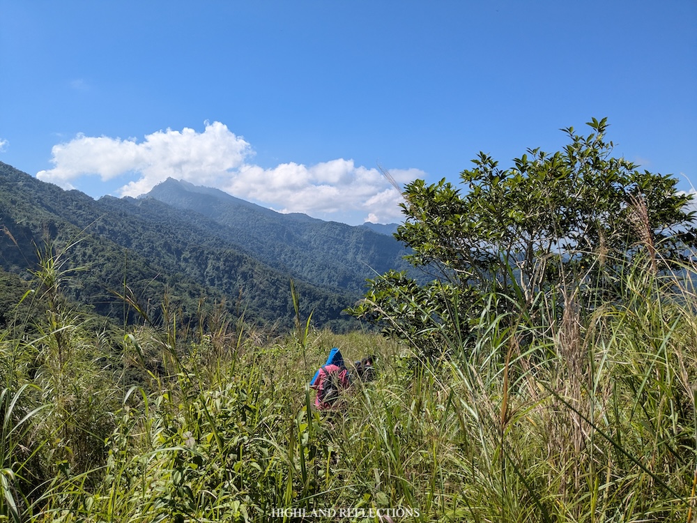
At the bottom of the cliff is a small river inside the forest where we rested and refilled our water bottles (920 masl). We took the chance to catch our breaths and cool our bodies here coming from the exposed descent we just did. Past the river, the descent thankfully continues inside the forest. Some sections were quite slippery. Fortunately, it hadn’t rained when we hiked so that soil was easier to climb down on.
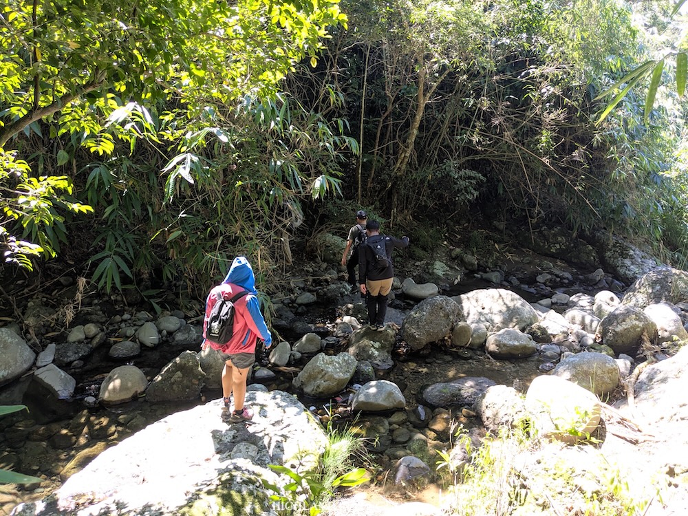
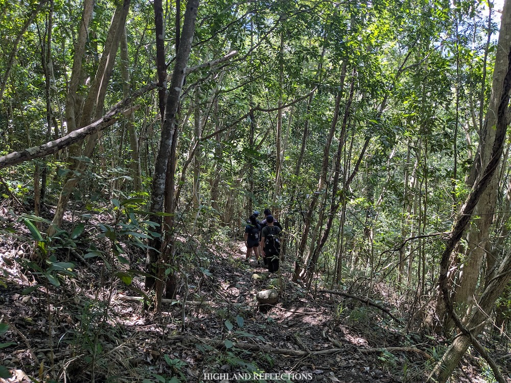
In the descent, we lost three hundred meters of elevation before reaching the second river at 11 in the morning (595 masl). We took another round of rest here. Afterwards, we descended nonstop once again. The trail after the second river was longer but more manageable as it runs on top of a slope just above Sibol Hot Spring and the Seven Bowl Falls.
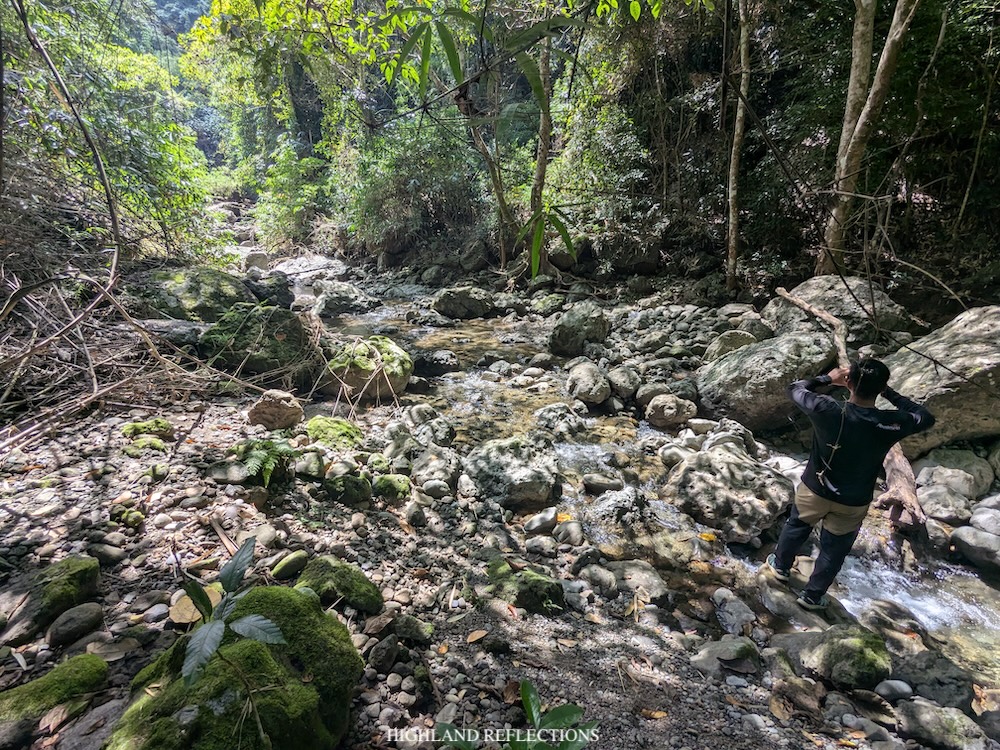
We reached the resort containing the hot spring and waterfalls at around 12 noon (230 masl), completing the entire descent in about three hours. Our guides say other hikers took more than four hours descending the traverse trail!
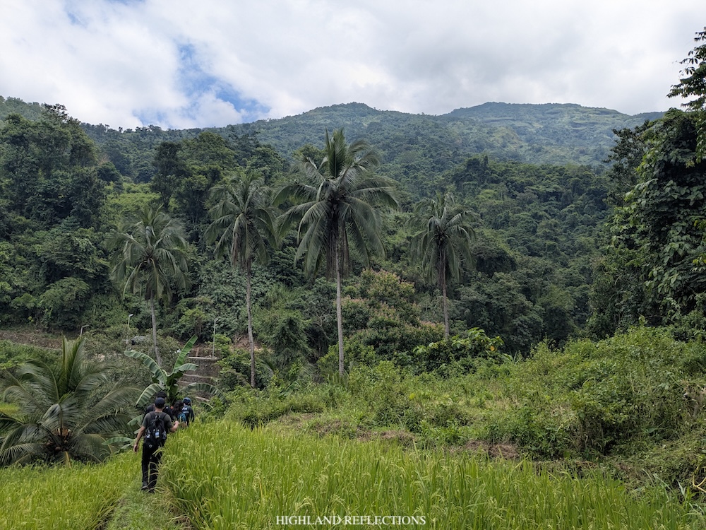
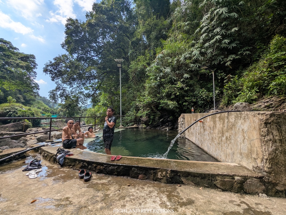
We entered the resort where Sibol Hot Spring and the Seven Bowl Falls is located. The resort contains some tourist establishments such as huts, toilets, and a swimming pool at the entrance. We settled at a hut near the bottom-most part of the Seven Bowl Falls and near the hot spring. There, we had our boodle fight lunch courtesy of the town’s tourism office. Afterwards, we dipped into the hot spring nearby. I also took the chance to ascend towards the third lagoon. I was supposed to climb up until the seventh tier of falls but I didn’t have enough motivation to push through. I just settled at the first bowl and leaned on the waterfall. Relaxing!
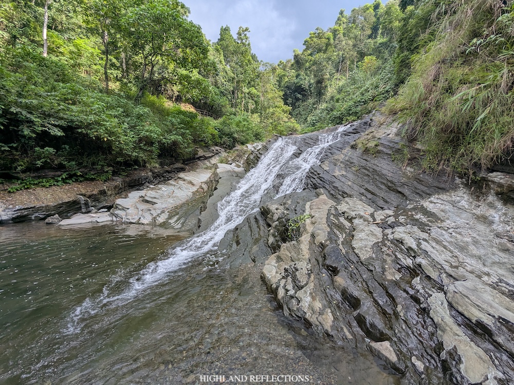
And that essentially concludes my adventure to Mt. Binangkaw and to Seven Bowl Falls! It was so nice to go back to the mountains after not being able to assume my identity as a hiker for four months. It was also very rewarding to have seen Tirad Peak once again and to have hiked in the bucolic town of Gregorio Del Pilar. I was only 23 years old when I went to this town to hike Tirad! Now that I am 30, I am deeply grateful for the strength to still see some of the Philippines’ wonderful mountains. Kudos to the town for opening more trails and more mountains, and of course, grateful to them for welcoming us in their humble town!
Itinerary
04:00AM Bussot covered court, breakfast
05:00AM Start hike (400 masl)
05:40AM Bato ng Desisyonan (550 masl), short rest
06:30AM Water source, short rest
07:30AM Open area below the summit (1,200 masl), take pictures
07:50AM Summit (1,250 masl), rest, take pictures
09:30AM Start descent to traverse trail
10:15AM First river (920 masl), short rest and refill water
11:00AM Second river (595 masl), short rest
12:00PM Sibol Hot Spring and Seven Bowl Falls (230 masl), lunch
04:00PM Departure


