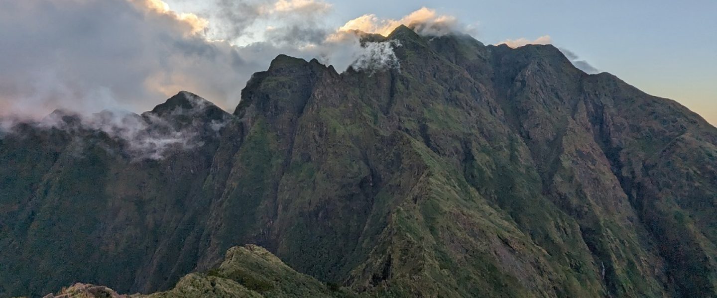
As someone hailing from Central Luzon, I have always been fond of Mt. Tapulao. Standing at 2,037 meters above sea level, it is the highest mountain in the region, and was even called as ‘High Peak’ by American cartographers a century ago. The mountain is famous for its jaw-dropping pine forests above it and is believed to be where its name was derived from (‘tapolaw’ means pine tree in the Sambal language).
I have been to Mt. Tapulao back in 2021 and hiked up the classic trail from Palauig, Zambales, known for its straightforward, one of a kind, bouldery trail that stretches for 18 kilometers (the hike is actually just around 12 to 15 kilometers total when measured using modern tracking devices). Ever since, I have always wanted to go back to Tapulao to do the traverse trail—a 45-kilometer hike starting in the far-flung barangay of Labney in Mayantoc, Tarlac and ending in Dampay Salaza in Palaiug, Zambales. The traverse hike, popularly shortened as TapTrav (or more aptly, ToughTrav!), showcases a variety of landscapes and trail characteristics, from river crossings, grasslands, lowland forests, pine forests, mossy forests to, of course, that classic rocky trail in the Zambales side.
One can perhaps consider this as the Holy Grail of Central Luzon mountains.
Here is my story of climbing TapTrav!
The Adventure to Labney
For this hike, I joined a self-contained event organized by one of my go-to teams in the hiking community—Trail Makers Philippines led by Whe Tabago, whom I have joined in many of my hikes in the past two years. Among the thirteen souls for this hike, I tagged along with Ryan, an acquaintance in the hiking community whom I have been with in some of my hikes in the past two years as well, and Felix, a young comic artist who I met in my Camp Utopia and Mt. Polis hikes with Whe.
In doing TapTrav, most hikers do it either on a 3 days and 2 nights schedule, or a grueling one-day hike, sometimes combined with Mt. Damas and Mt. Semilya to form the Dasemulao endurance hike. However, for this hike, our organizer, Whe, opted for an overnight itinerary, which is not something you usually see when scouring for TapTrav climbs on Facebook groups!
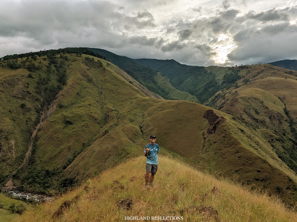
Doubt creeped in when I signified my interest to Whe for this hike. Can an overnight hike really be doable for TapTrav? Won’t we overexert ourselves, especially on the second day when finishing late at night is a possibility?
All of these lingered in my head even as we were already having our pre-climb meeting four days before the climb. Still, what kept me committed was the personal and collective efficacy in doing major hikes; that everyone of us has accumulated countless experiences and hardships in the mountains. None of us were beginners in doing major, ultra difficult hikes. I think I’m in good shape and much more importantly, in good company, for this strenuous hike.
Seasoned by experiences. That was the belief that I held on to for this event.
Past two in the morning, we were in the town center of Mayantoc, prepping our equipment before climbing aboard the dump box of our rented elf truck. This truck will be taking us to the secluded community of Labney, which was still an hour away from the town center. I sat at the back of the dump box of the truck together with Whe, Ryan, and the other members of the team.
My observation from seven years ago when I hiked Mt. Damas in the nearby town of Camiling still rang true as our truck was traversing the road to Labney—this part of Tarlac is one of the most laid back and rural places I’ve ever been to. Rarely do you see houses and residential areas along the road. It’s just us, the vast rice fields, the mountains nearby, the luminous moon, and the thousands of stars above us. The wind was even smacking our faces. The Zambales Mountain Range still holds an eerie mystique to it despite years of urbanization in both Zambales and Tarlac.
“What a life,” I said to myself as I look up at the stars above.
After thirty or so minutes, the truck ride got bumpy. Apparently, some parts of the road were still unpaved. Whe stated that nine years ago, this road was fully unpaved from Mayantoc.
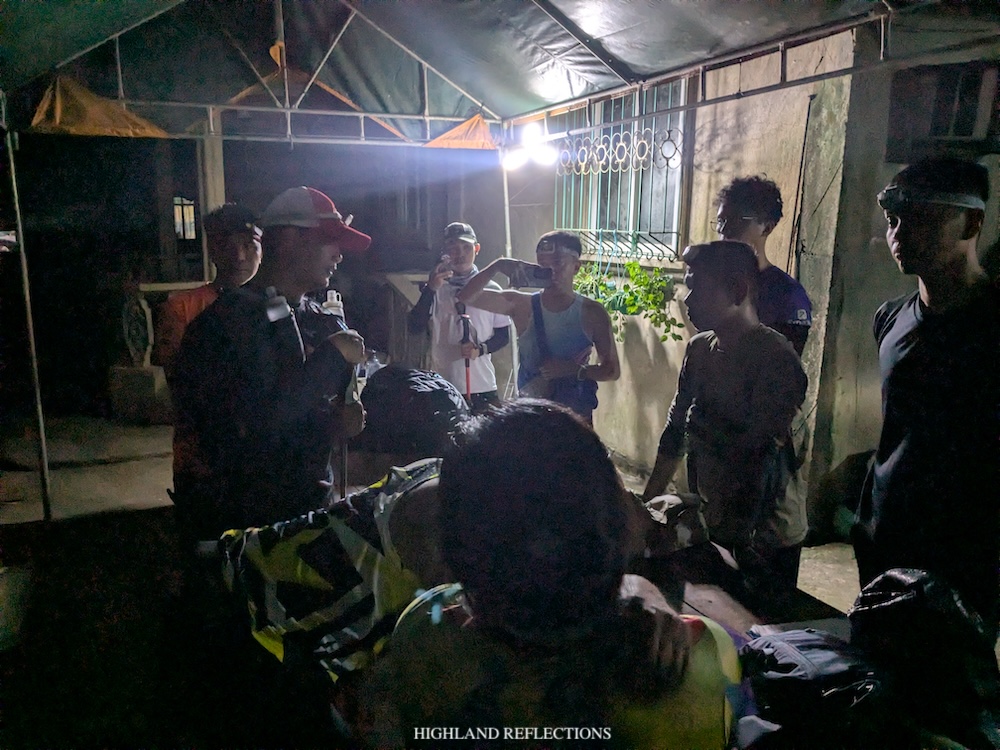
We reached Labney past four in the morning. There, we crossed a hanging bridge to reach the vicinity of the barangay where we once again prepared our equipment and ate our packed breakfast. We also had a briefing and some final picture taking before taking the brunt of the 45-kilometer trail.
TapTrav, here we go!
Day 1: The Arduous 20-Kilometer Trek to Zambales River
We began the hike at around 4:50 in the morning (~210 MASL). We quickly left the village of Labney proper and entered a wide footpath that, after about a kilometer, led to the waters of San Bartolome River, which we had to cross almost ten times (I lost count how many times we crossed it) in a span of two and a half hours.
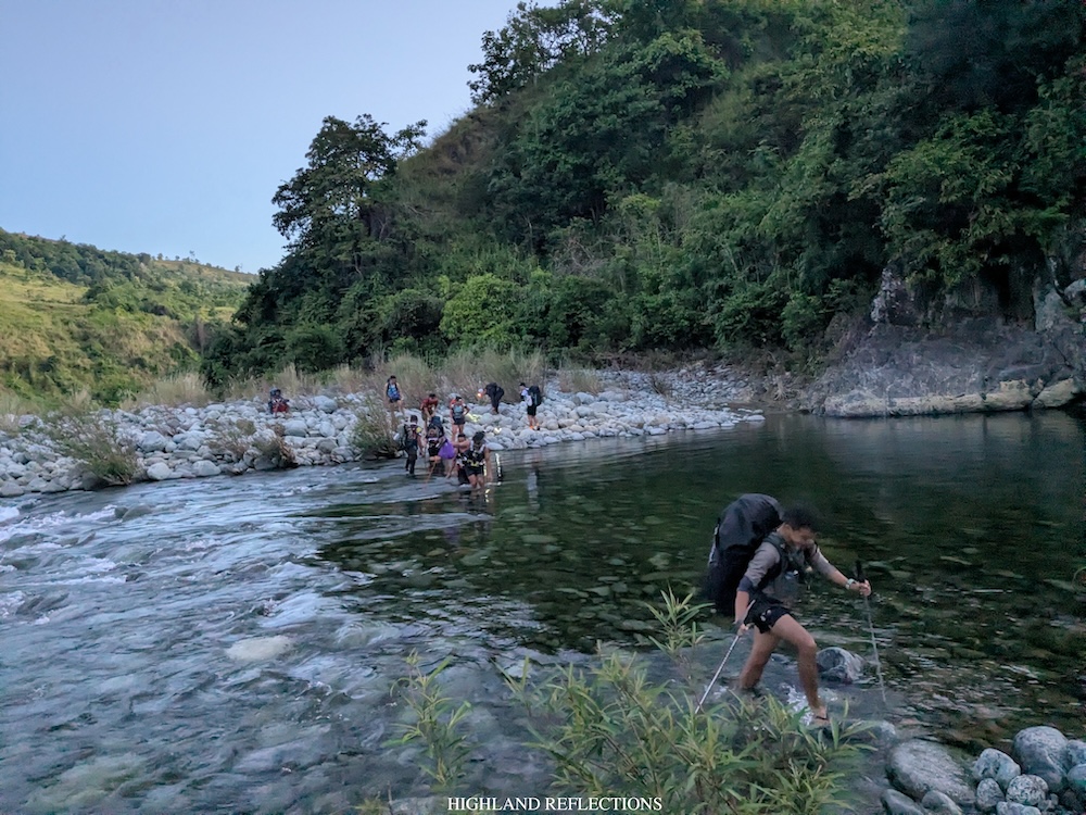
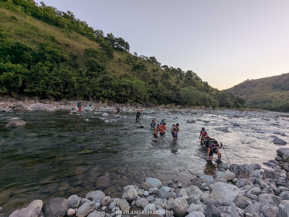
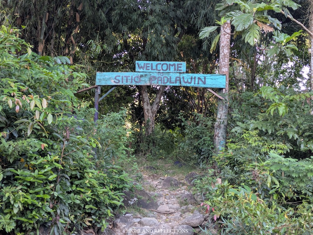
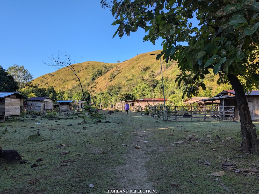
In between each river crossing, we walked on dirt paths used by locals, most of which were at the side of the river. Somewhere in the middle of this long section, we passed by Sitio Padlawin, where a small village is located and some cows were roaming nearby.
The river crossings already drained most of our energy for that first day. Despite hiking near the start of the Super El Niño season in November of 2026, the water flowing from the river was still quite strong, battering our legs with enough force to make it harder to cross it. In some parts, our entire lower body and the bottom-most part of our bags would get submerged into the water. Add this to hiking for almost eight kilometers and climbing some rocky sections beside the river, and you would get yourself in a very challenging early morning workout!
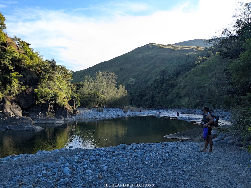
Good thing we didn’t hike during the rainy season. The current of the water would probably be much stronger if ever there was rain.
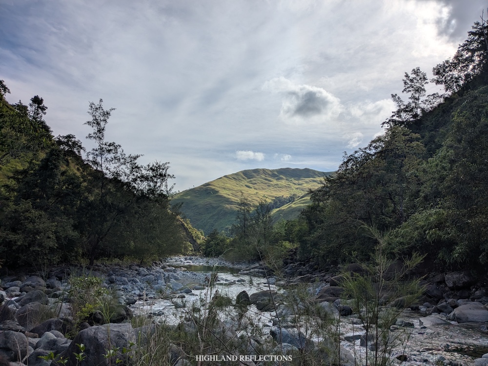
It was past 7:30 in the morning when we reached the end of the river crossing (~330 MASL) after about eight kilometers from Labney. At the riverside just before the trail continues upwards, we had our breakfast and first long rest for this hike. Nearby are some grassy, yellowy mountain ranges illuminated by the rising sun. It was such a nice spot to have breakfast and take a rest. Such a bucolic place.
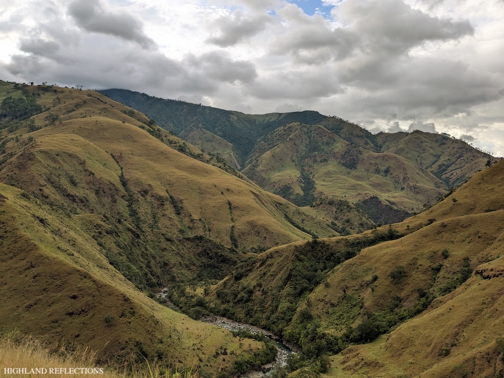
Past eight, we began ascending the grassy slopes of Mt. Kinaulaman, one of the many, many mountains we had to pass through just to get to Mt. Tapulao. This part was a punisher! The air was so dry and we were at the mercy of the sun’s heat while ascending the grassy slopes. The only respite we got from climbing this portion was seeing the river now below us, forming a picturesque valley surrounded by the grassy mountains beside it. This view kinda reminds me of the start of the final assault section in Mt. Pigingan coming from the river.
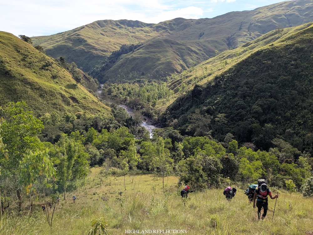
At the upper portions of the hike on the grassy slope, you can literally see the tree line just beside you. I wondered, why the hell aren’t we entering the tree line? It could have been a cooler hike there! It didn’t help that I didn’t bring any umbrella or arm sleeves with me. I prayed not getting my skin burnt from the exposed hike.
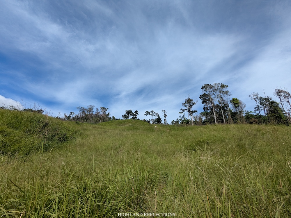
I pressed on and on and on, taking it easy, and making sure that I won’t get cramps for this hike early on. We were able to finish the 450+ meter ascent to Mt. Kinaulaman (~800 MASL) after an hour and a half. I was so relieved once we entered the tree line. We all immediately dropped our bags, drank a reasonable amount of water, ate our trail food, and slept! Yes, we slept! We were exhausted.
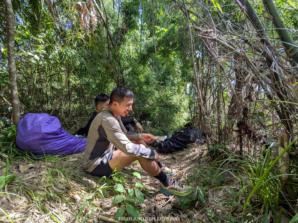
We continued on with the hike past ten in the morning. From Kinaulaman, the trail now transitions from grassland to forest, where we would be spending the next five hours before reaching Zambales River.
The gradual climb inside the forest was a long and monotonous one. I was mostly tailing the lead group, with Ryan a few meters in front of me. Every now and then, we would be having some small short stops to drink water, then immediately pushing through with the hike.
I didn’t know what got me through that long section. It was boring, but I wasn’t bored. It was tiring, but I was brimming with so much vitality. I guess the forests woke up my senses after drowning in so much work and life happenings in the past four months. It was a much-needed forest bathing!
At 12 noon, we reached Mt. Pimmaryok (1,250+ masl), our designated lunch stop for this hike. At Pimmaryok, the team laid down a tarpaulin for us to sit on, have lunch, and slept afterwards. There was a nearby water source where we refilled our water bottles. Surprisingly, some pesky blood-sucking limatik, both big and small, were making their presence felt. Thankfully, not one limatik made a bite.
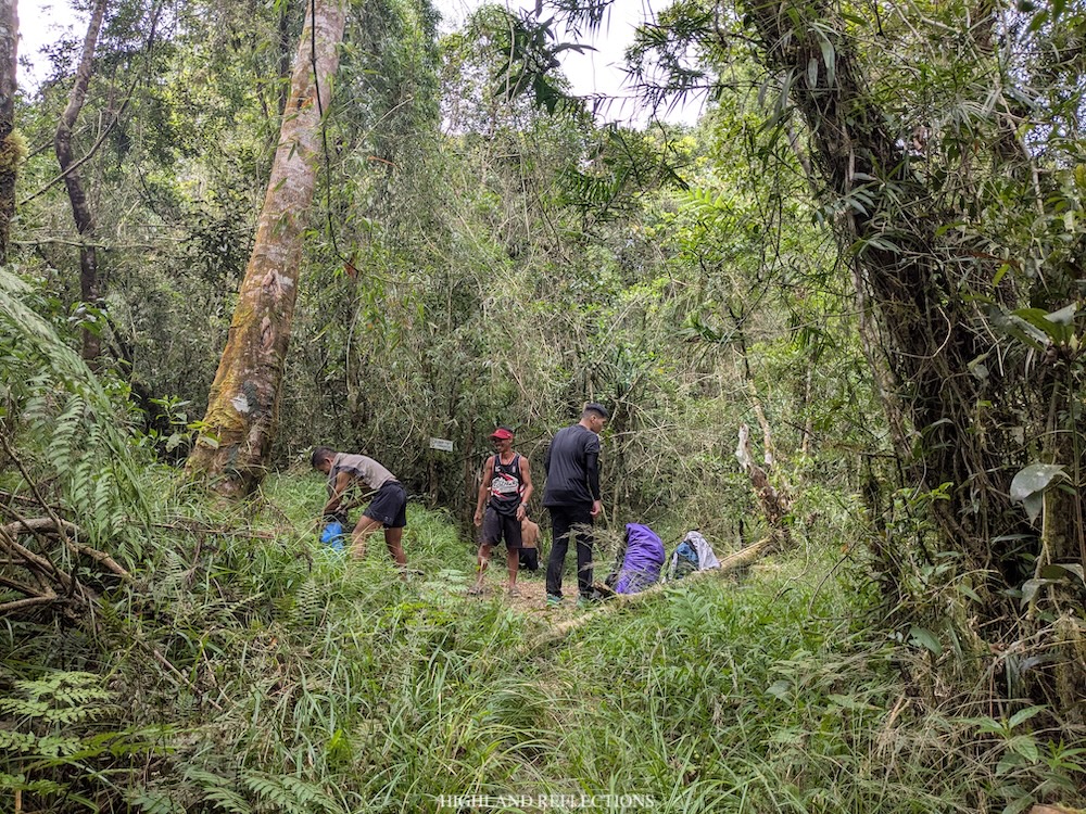
I ate may packed adobo and rice, and drank some of the sugary drinks I brought for this hike. I tried getting some sleep afterwards.
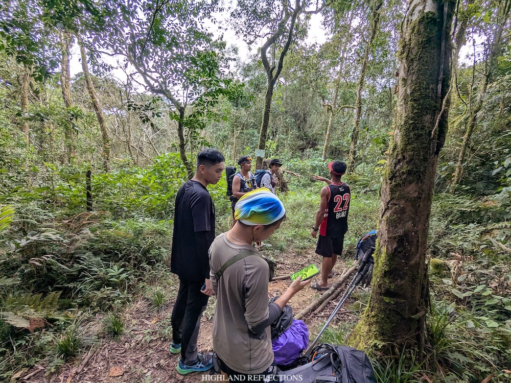
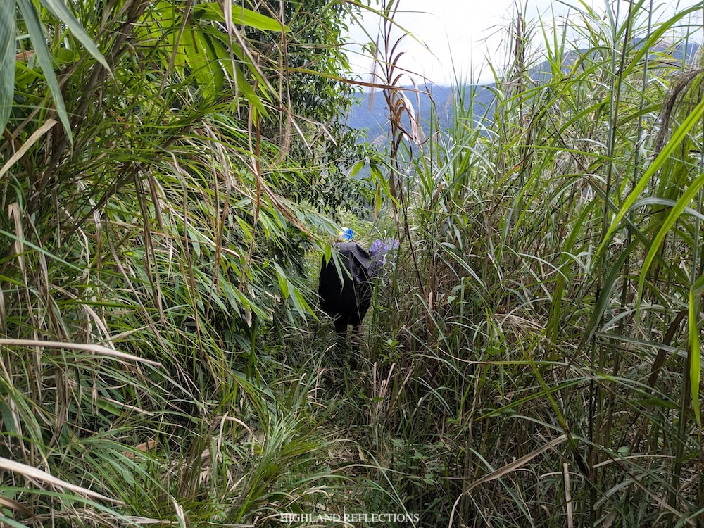
We continued with the push to Zambales River past one in the afternoon. It was a continuation of a long walk inside the forest, me following Ryan’s violet raincovered bag, and wrestling with my thoughts while enjoying the greenery around me. I honestly didn’t remember much of the landmarks inside the trail. It was that monotonous! What perhaps, wasn’t monotonous, was seeing lots of hunter trails forking inside the paths. Thankfully, the forked trails had some makeshift blockages made from branches. It was easy to spot, but hikers can still wander off of it if they’re not mindful.
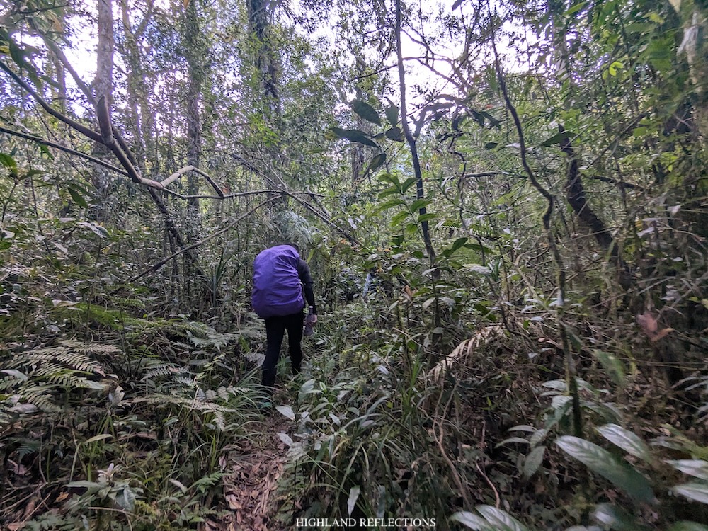
Somewhere along the trail, we reached the highest point of this gigantic mountain range (~1,400 MASL) that we were passing through before descending to Zambales River (500 MASL). After reaching this elevation, we gradually descended. The descent, thankfully, was not that steep, and was only as gradual as the ascending trail before it. I wasn’t feeling any cramps from my legs at that time, but I was mostly tired from the long walk that we were doing.
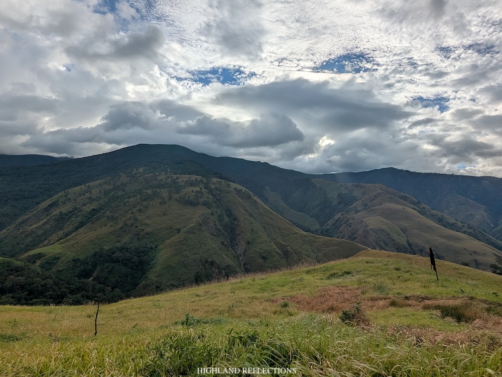
At 3:40 in the afternoon, we finally exited towards the final leg of the descent (~890 MASL), which was a grassland section that provides a panoramic view of the gigantic Mt. Tapulao and its surrounding mountain ranges in front of us. Just five minutes after exiting, we encountered what hikers call as the lonely tree—a huge lone pine tree that towers over the grassy landscape surrounding it (~830 MASL).
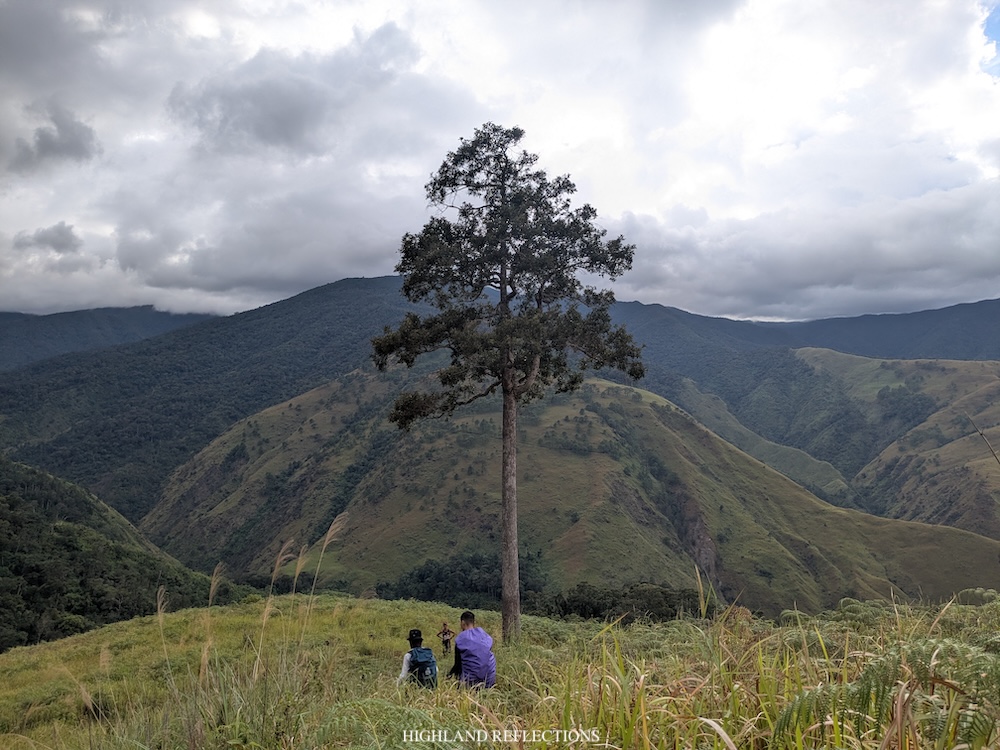
At the base of the lonely pine tree, Ryan and I took a short rest and ate some snacks. Then, we continued with the last push of the hike.
The trail past the lonely tree continues on a wide grassland trail. Soon enough, we saw Zambales River still hundreds of meters below us. Here, we took some photos as the landscape was just so stunning! Everywhere we look, there was the yellowish shade of the grassy mountain slopes surrounding us. In front of us, Tapulao’s darker sections—its mossy forests—loom right above. I wished we had better lighting when we saw this. Pine trees were also visible at the mountain opposite of us.
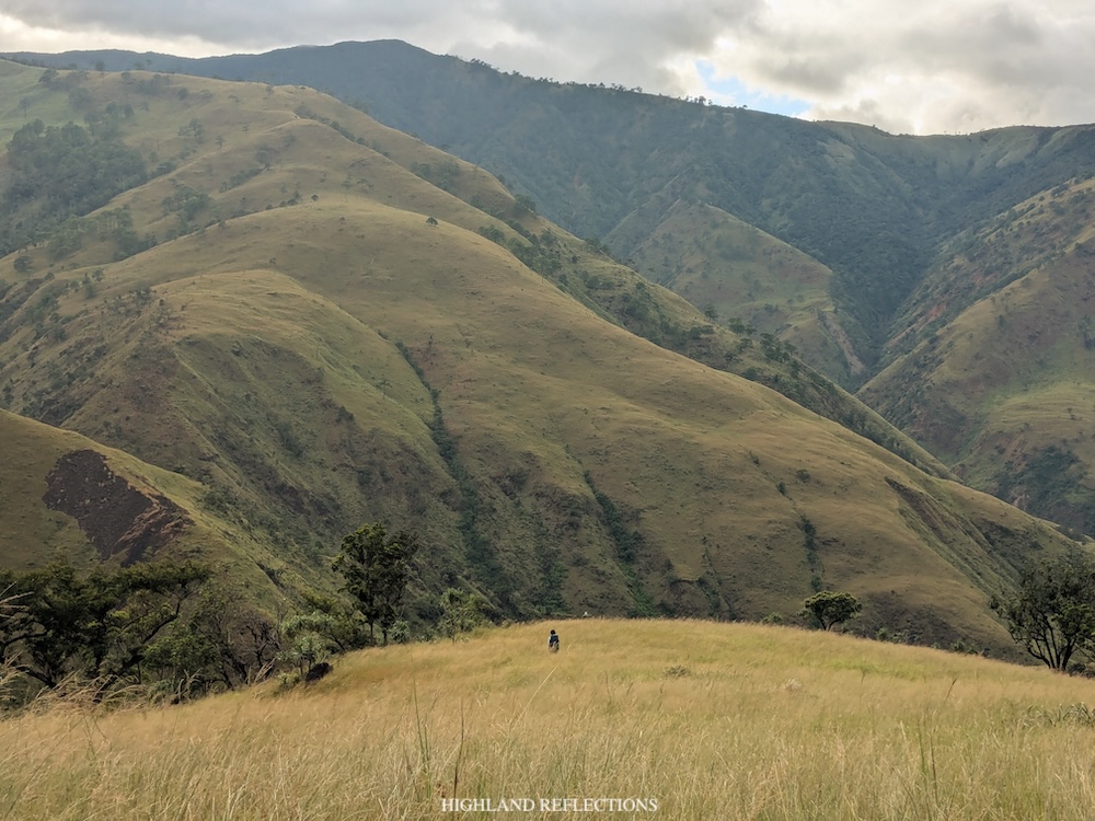
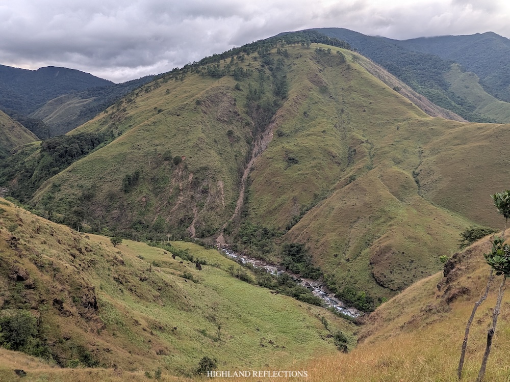
After snapping some photos, we descended the last 150 meters on to Zambales River. This section was the most terrifying as the slope that we were descending on was so sharply steep. It was reminiscent of Mt. Balingkilat and Mt. Guiting-Guiting’s slopes where one could slip and fall onto the wall of grassy mountain below. The guide even said that when the weather is rainy, hikers would usually crawl and plant their hands onto the slope to climb down safely.
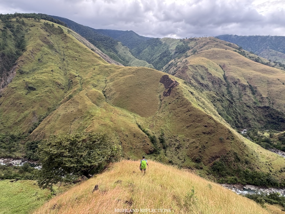
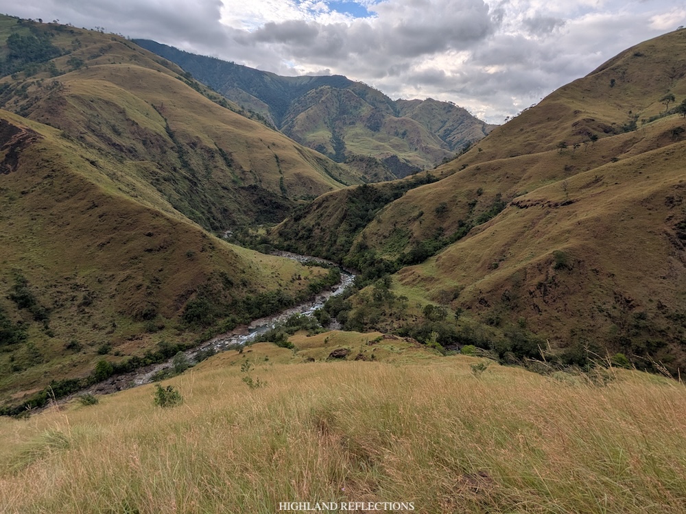
Thankfully, we reached Zambales River at around 4:40 in the afternoon all safe and sound, almost twelve hours after starting the hike! There, the team settled at a rock shelter just beside the river. Ryan and I, on the other hand, set up our tent at a cleared grassy area just above the rock shelter. Afterwards, we took the chance to cleanse ourselves and refill our water bottles courtesy of the river’s waters.
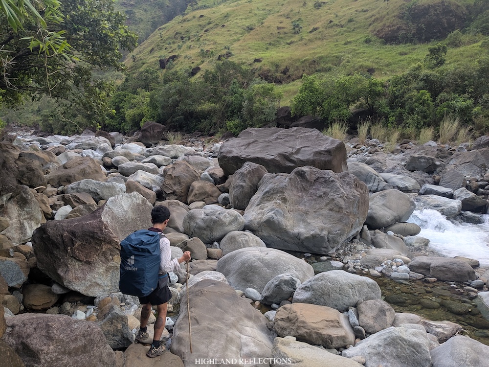
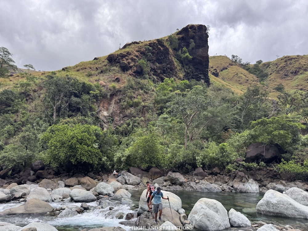
At that time, I told my guide how amazed I was that we were so faraway from civilization. I was marveling at the fact that such a place exists. Paradise on earth! Knowing that we were so far away from the next village or barangay makes me feel both terrified and awed. Even if you followed the river and climbed the slopes near you, chances are, you’d end up still in the middle of nowhere. However, our guide said that the river leads to Coto Mines, a famous tourist destination in Masinloc, Zambales.
Darkness fell once we finished setting up our tent. That night, I ate my dinner and immediately slept. It was 7:30 in the evening.
**
I woke up at around one in the morning. Some of our companions were already awake by that time. Apparently, I had slept for almost six hours without me noticing! That’s how tired I was!
On to the second day.
Day 2: The Long Push to Tapulao’s Summit and The End Point
We needed to wake up early to have an advanced head start for our final day in Mt. Tapulao. That morning, I ate my packed breakfast and disassembled our tent. Afterwards, we strapped our bags on and commenced the second day’s long adventure.
We started the hike past 2:30 in the morning. The first few parts of the ascent was on an exposed steep grassy slope that would have been a punisher if we ever hiked it in daylight. Some parts were so steep, it required us to take the ascent slowly and carefully.
We quickly gained elevation from the straightforward ascent. Somewhere along the trail, we rested at a boulder where hikers usually take pictures as it provides a magnificent vista of the 1500-meter grassy mountain opposite of us. Unfortunately, since we hiked this in the wee hours of the night, we only had a glimpse of the mountain’s silhouette illuminated by the moonlight.
We continued the hike up the grassy slope until reaching the tree line where pine trees are present. Even in the midst of the dark night, I knew this portion of the trail was stunning! As someone whose favorite scenery in the mountains is the glow from pine trees when they’re illuminated by the sun’s golden rays during sunrise, I was thinking of doing another TapTrav hike in the future just to see these pine trees illuminated!
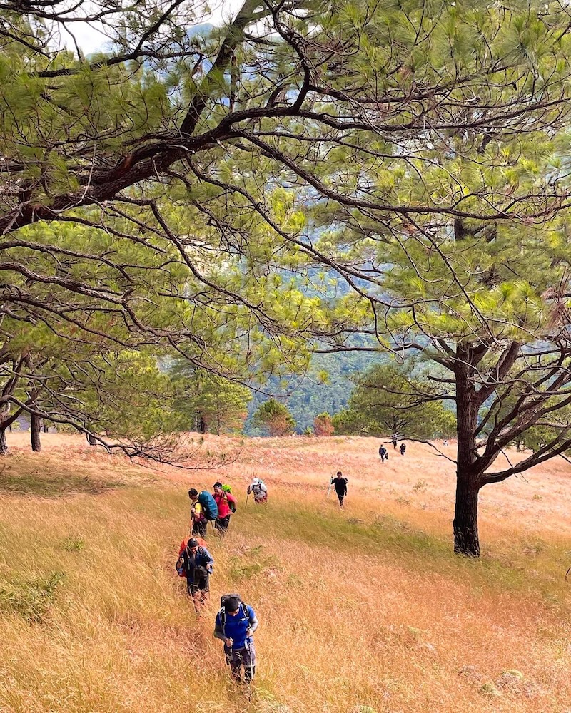
That’s how confident I was with the beauty of the forest surrounding me. Even in the dark, I was at awe with the gigantic tapolaw pine trees everywhere I look. This view was complemented by the high mountain opposite of us, which we passed through the day before.
After an hour and a half of climbing, we rested at an area just before the entrance to the mossy forest almost six hundred meters above Zambales River (~1,110 MASL). Here, we took the chance to get some more sleep while waiting for our companions, some of which we can spot getting lost in the trail hundreds of meters below us. It was easy to course correct them given that we were using our headlamps to communicate in the dark.
And then, we entered Tapulao’s rainforest, bidding goodbye to the magnificent pine trees.
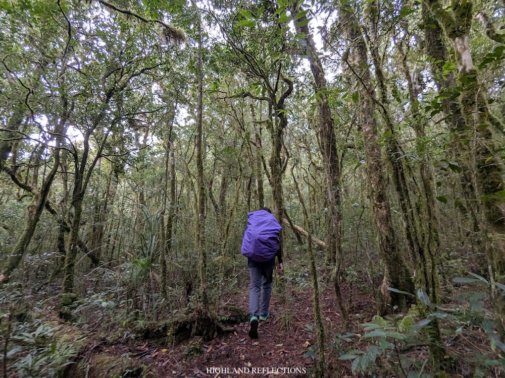
The hike inside the forest, just like the first day, was a long, long one! Its length was derived not from its steepness, but from the long, winding distance we needed to cover going to the summit. At this part, I was once again following Ryan, with Felix now tagging with us. All three of us were tailing the two fastest hikers—Kim and Chester—who were about five to ten minutes ahead of us.
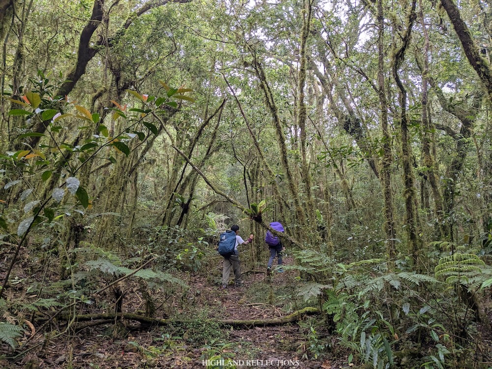
Sunlight already caught up as we were traversing the long forested trail. At 1,470+ MASL, past six in the morning, we had another major stop to rest and eat breakfast as there was a water source nearby. Here, I munched on my Spanish bread and drank some black coffee. When the mid group arrived, we chatted with them for a little bit before continuing with the hike.
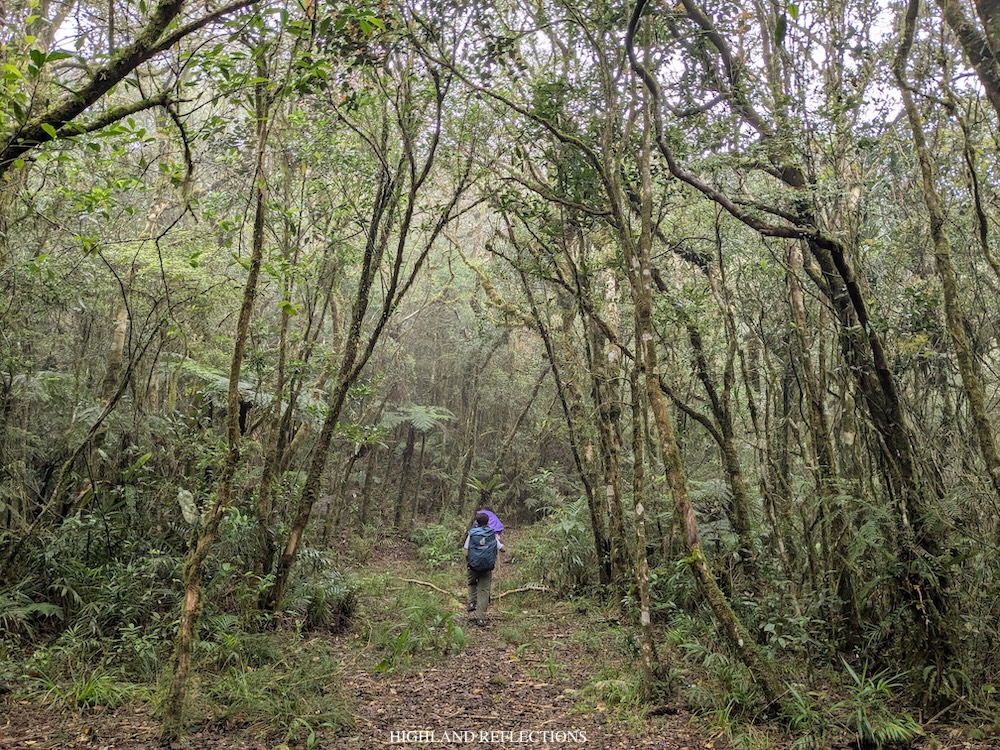
The trail past the rest area was still very long. The lack of steepness for this ascent was compensated by the length of the trail. It wasn’t just a physical test, but also a mental one. We were seeing trees, plants, and a flat trail for about half a day!
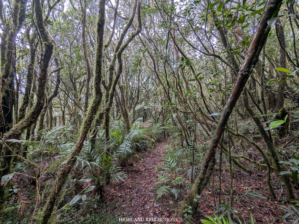
Just like the day before, I was able to utilize the boredom I was experiencing to sort out my thoughts, to be at peace with myself, and to reflect on what has been happening in my life recently. Consistent with what psychological science says, boredom isn’t actually bad for you. It’s an essential emotion that allows you to take a pause, engage more deeply with your thoughts, and acknowledge what you truly feel.
I guess this is what they call forest therapy.
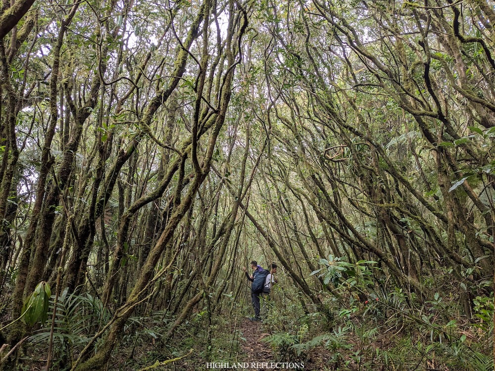
The trees, just like psychologists, won’t give you the solutions to your life’s problems, but they’ll allow you to process your own thoughts and emotions. And hey, I’m doing all of this mentally while also exerting something beneficial for my physical body! Can’t say I’m doing it for free though since I spent money going to this place.
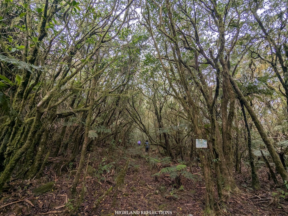
Still, despite the benefits of what I was doing, the physical toll of the distance and elevation that we were covering were catching up with us. Every few kilometers, Ryan, Felix, and I would have some short water breaks and take fives. This was despite the fact that we were not expediting our paces. We were actually moving slowly and carefully despite tailing the lead group!
Finally, at around nine in the morning, somewhere around 1,800 MASL, the forest’s mossiness became more evident, and we could feel that we were getting closer and closer. Upon checking my offline map, we were still around 1.5 to 2 kilometers from the summit. Our perseverance did not falter!
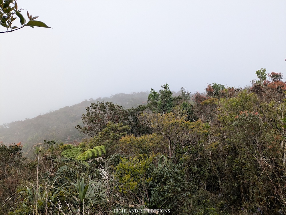
We pushed on and on and on. The last hour required us to navigate a mossy trail filled with rocks and roots. It wasn’t that technical, but it kind of serves as a nuisance given that we were walking on a clear path for the last five hours! The last portion of the trail also had an ascending portion that was a bit steeper.
Once we emerged towards the pygmy forest, we knew we were at the summit area! Ryan, Felix, and I had a short rest here to have another round of snacks. We pressed on with the last push afterwards.
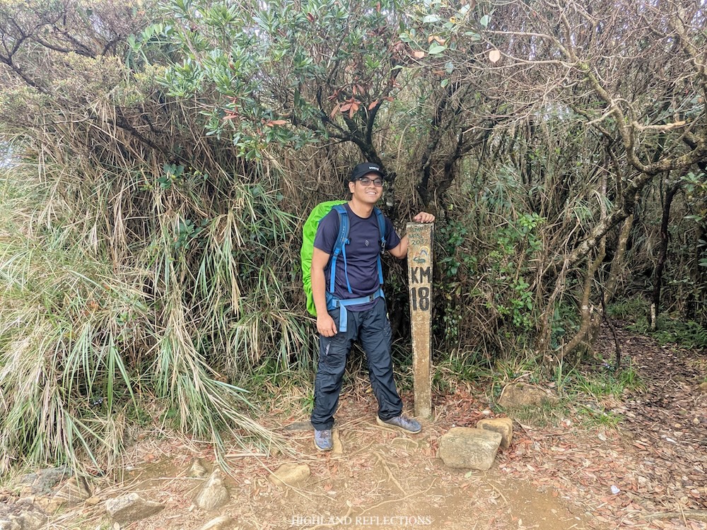
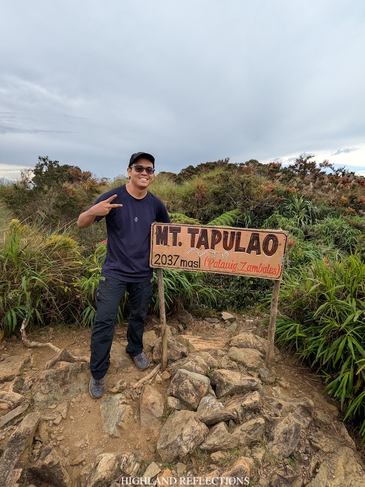
Alas, at 10:30 in the morning, eight hours after starting the hike from Zambales River, and after testing our physical and mental capacities, we finally reached the 2,037-meter summit of Mt. Tapulao! Apparently, the trail from Labney is at the rear side of the iconic KM 18 post. Of course, our first mission was to snap a photo by the KM 18 marker. Some hikers from the Palauig side joined us as we were having the celebration.
A few meters away from the summit is another summit marker made by a local hiker who provides these wooden markers in many of our Philippine mountains. At this area, we had an awesome view of the mountains that we passed through the day before, which were being dressed by a beautiful cloudscape! In the opposite direction, I had glimpses of the West Philippine Sea on the horizon.
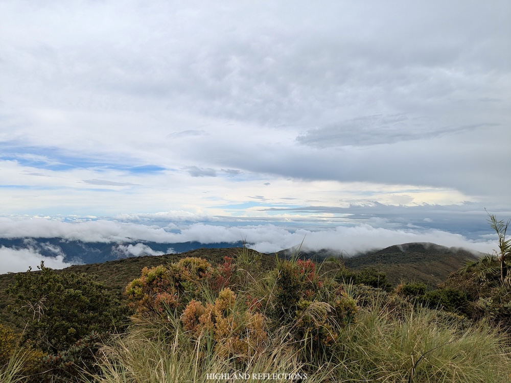
This was my first time having blue skies above Tapulao’s summit. This was unlike my first hike here when we were met with a cloudy weather.
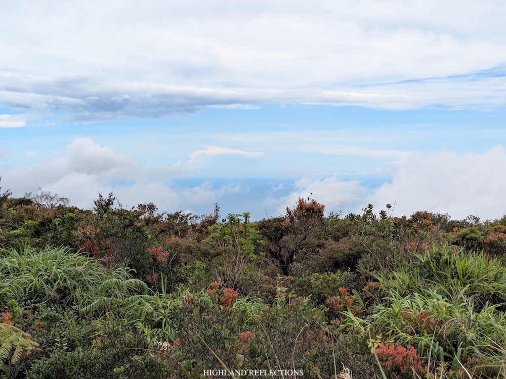
After we were done celebrating, Ryan, Felix, and I went down the traditional trail onwards to the campsite at KM 16, where we will be having lunch. Upon exiting the mossy forest after a kilometer of descent, we reached Tapulao’s pine forest slopes, the area where the mountain is best known for. Here, we got lost and descended towards an off trail that led us to the road going to the water source. Since we were familiar with this road, we just followed it until finally reaching KM 16 where our lead guide, Kim, and Chester were waiting for us. We arrived at around 11:40 AM.
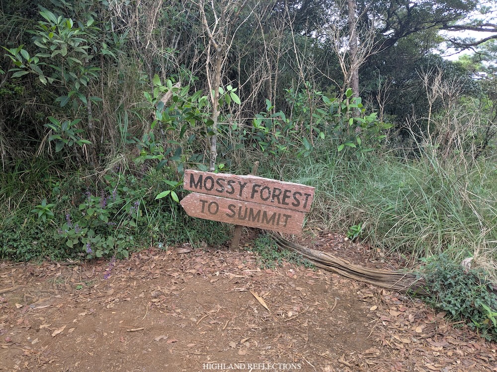
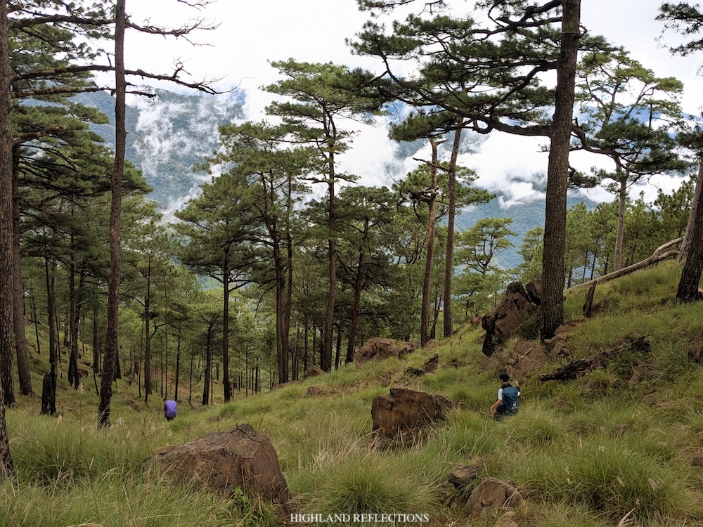
At KM 16, we shared the area with hikers coming from Palauig. There, I munched on my lunch of rice, San Marino corned tuna, and crushed Sky Flakes. The weather was so windy at the campsite that I had to wear my rain jacket as it was cold! I took the chance to take pictures at the edge of the campsite where a backdrop of Mt. Sawtooth is visible. Afterwards, I sat down and took some rest.
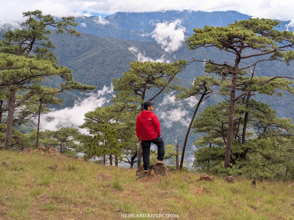
We started the descent via the traditional trail in Palauig, Zambales at one in the afternoon, now in familiar territory. Ryan and I took pictures at the iconic boulder perched on a cliff about half a kilometer away from KM 16. Afterwards, we pressed on with the nonstop descent.
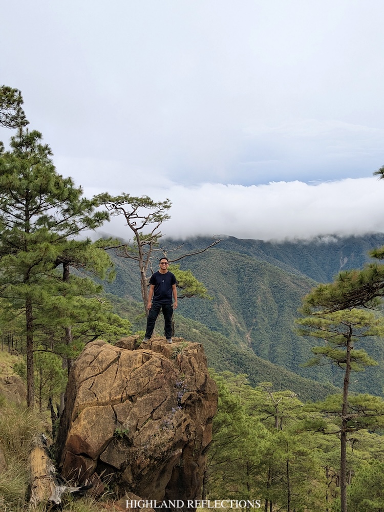
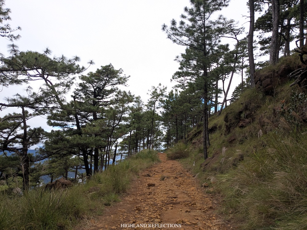
Just past the lovely pine forest area of KM 16, we were immediately greeted with a very slippery boulder trail Tapulao was known for. This boulder trail got worse past KM 14 (saxophones in the background getting louder) as the boulders became more numerous along the trail! Fun fact: This boulder-filled rough road (can it still be called a road?) comprising Tapulao’s main trail was actually a remnant of the mining operations done here decades ago. Good thing this was halted as it would have destroyed the beautiful ecosystem further.
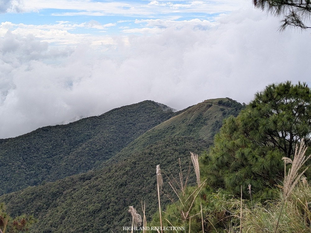
I descended alone for the entire time as Ryan and Felix were advancing by about five to ten minutes ahead of me. Somewhere in KM 12, I passed by day hikers from Palauig who were descending. I continued on with the hike and passed by the water source at KM 10. There, I saw the old trail now covered in landslide.
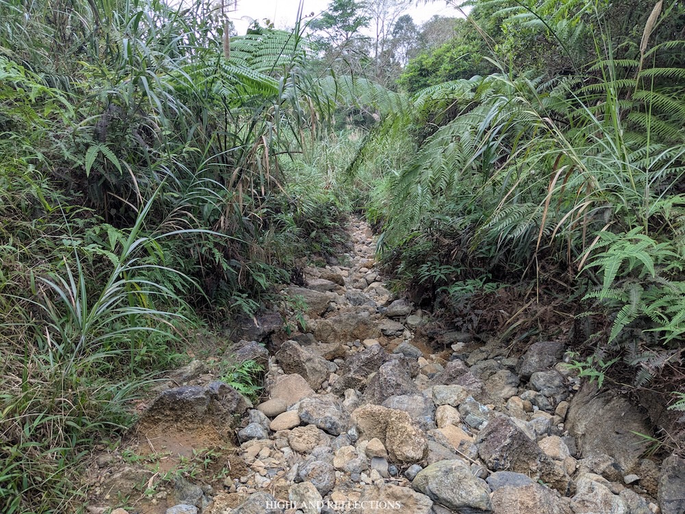
From KM 10, 8, and 6, it was mostly a psychological battle as I was getting fed up with the nonstop rocks. I also noticed how different the trail is now compared to when I hiked it five years ago. Back then, the trail used to be wider. Now, vegetation has covered the side of the trail. I didn’t even see the markers at KMs 10, 8, and 6.
Around 3:30 in the afternoon, after two and a half hours of nonstop descent, I reached the famous 7/11 store at KM 5. This was, of course, not an actual 7/11, but a sari-sari store where you can take a break and order some snacks and drinks. Here, I found Chester, Felix, and Ryan who just arrived five to ten minutes before I did. At the store, I ate the last snack that I brought for this hike. We resumed hiking at four.
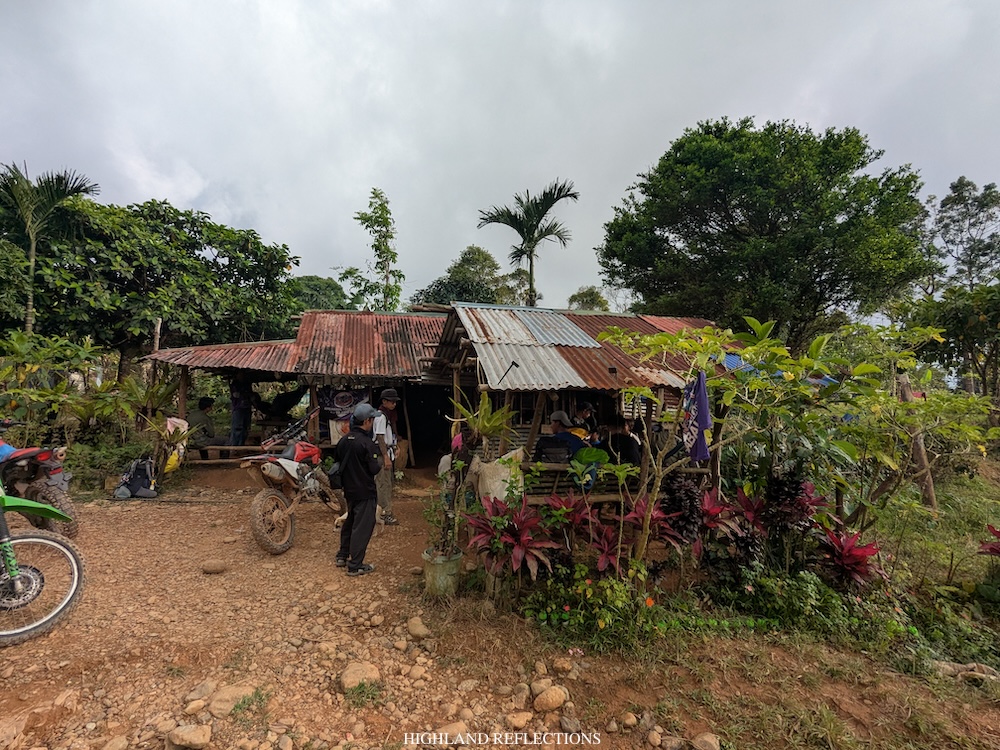
From 7/11, we walked the last two kilometers of rocky road, taking us almost 40 minutes before reaching the start of the paved road where tricycle drivers were stationed. Five years ago, I didn’t bother taking the tricycle to KM 0 in Dampay Salaza since I had a lot to prove back then. And I guess if I would be hiking the Palauig trail of Mt. Tapulao now, I still probably wouldn’t take the tricycle if we had a lot of time to spare.
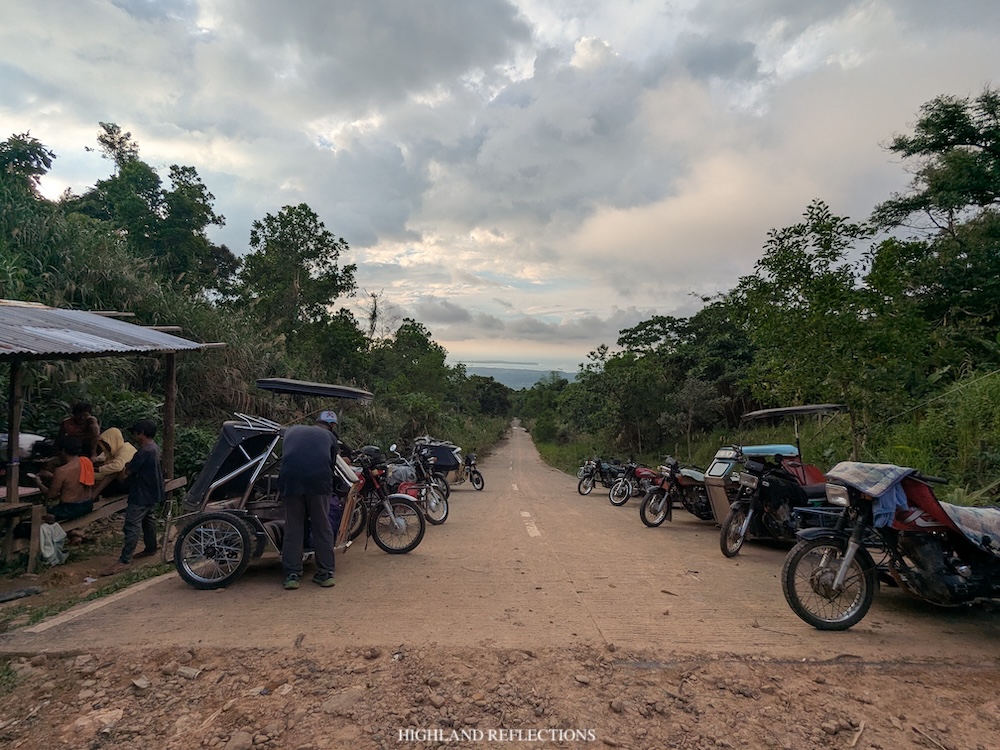
However, I just came from a 45 kilometer hike that we finished within just the span of two days. There was no worth in the pride of finishing the entire marked path by foot.
I boarded the tricycle with Ryan and took the five minute ride descending to Dampay Salaza. It was 4:40 in the afternoon when we reached Nanay Bet’s house in Dampay Salaza, where we took our baths and ate dinner. At that point, I couldn’t believe we finished the entire tough traverse in two days, with daylight still on, and without any injuries.
Thank God.
Chester, Felix, Ryan, and I were the second to finish for our team. Kim and the lead guide finished at around three in the afternoon. On the other hand, the entire team arrived in batches—some arrived past five in the afternoon while our sweep team arrived at around seven in the evening.
During our stay at Dampay Salaza, Nanay Bet cooked us a hearty dinner of rice and tinola. This was a perfect, comforting dinner after the herculean feat we just did.
**
Finally, I have now done the Tapulao Traverse!
Eight years ago, I was still dreaming of climbing Mt. Tapulao. I’ve had some difficult mountains hiked way back then—Purgatory, Amuyao, Palali, Irid, to name a few. But I knew how lovely it would be if I had climbed Tapulao—the highest mountain of my home region—more so if I would be able to pull off the traverse hike from Labney.
Eight years after, I have now accumulated enough hiking experience to take this trail. Thankfully, I brought with me not just the substantial experiences that have contributed to my hiking ‘career’, but also the confidence, resilience, and grit, which got me through and have made the two-day hike more enjoyable. I thank the Universe for allowing my entire being to still see such magical places.
Walang umayaw sa Tapulao!
Itinerary
Day 1
03:00 Mayantoc town proper
03:30 Climb aboard elf truck, depart to Labney
04:30 Labney, final preparation
05:00 Start hike (KM 0; 210 MASL), cross multiple rivers
07:30 End of river crossing, breakfast (KM 7.5; 330 MASL)
08:00 Start ascent to Mt. Kinaulaman
09:30 Mt. Kinaulaman, rest (KM 9; 800 MASL)
09:45 Resume hike
12:00 Mt. Pimmaryok, lunch (KM 13; 1250 MASL)
13:00 Resume hike
15:40 Exit to grassland section and lonely tree (KM 19; 900-800 MASL)
16:40 Zambales River (KM 20; 500 MASL)
18:30 Early dinner
19:30 Lights out
Day 2
01:00 Wake-up call, breakfast, break camp
02:30 Start hike
03:30 Marabinela, pine trees
04:00 End of pine trees, rest (KM 22; 1,110 MASL)
04:30 Resume hike
06:30 Water source, breakfast
07:00 Resume hike
10:30 Tapulao summit (KM 30.5; 2,036 MASL)
11:00 Start descent to KM 16 campsite
11:40 KM 16 Campsite (KM 32; 1,750 MASL)
13:00 Start descent to Dampay Salaza
15:30 7/11, rest and breakfast
16:00 Resume hike
16:40 End of trail (KM 43), take trike to Dampay Salaza
16:50 Dampay Salaza, wash up and dinner


