General Overview
At an imposing elevation of 2,702+ MASL, Mt. Amuyao stands proudly as one of Cordillera’s grand summits. Its physical, cultural, and biological importance is acknowledged by locals, mountaineers, and scientists alike. The hike up to Mt. Amuyao can be considered a great feat for many outdoor enthusiasts, as it is the fifth highest summit in Luzon, and possibly the 11th highest summit in the whole country.
Climbing Mt. Amuyao has been traditionally done by starting at the jump-off point located in Barlig, Mountain Province (you can read my hike via the Barlig trail here). This involves a straightforward ascent on a community path used by personnel maintaining the transmission tower and bunker at the summit. However, a more challenging take in hiking Mt. Amuyao would be starting at the opposite side of the mountain—from the southern direction, going northwards—starting at the village of Batad in Banaue, Ifugao.
The hike to Mt. Amuyao via Batad involves an immersion into the heart of the Cordilleras, where one would traverse the farming pathways and mighty rice terraces the region is known for. From Batad, hikers will hike down to the nearby village of Cambulo. Past Cambulo is a difficult terrain going to the more secluded Pat-yay Village. From Pat-yay, the summit of Mt. Amuyao is at the northwestern direction, and would take four to five hours of strenuous ascent, depending on the pace.
Back in the days, hikers would often do the Batad-Barlig Traverse, which was considered as one the grandest Cordillera traverses done by mountaineers. However, due to dispute between the two towns, the traverse was prohibited back in 2018 and was closed since then, leaving Barlig as the only official trail to Mt. Amuyao’s summit. Fortunately, hikers interested in doing an “Amuyao Traverse” can still do it via the Batad-Cambulo-Pat-yay trail, summitting Amuyao, back-trailing to Pat-yay village, and then exiting eastwards via the community path between Pat-yay and the town of Mayoyao. This is known then as the “Batad-Mayoyao Traverse” of Mt. Amuyao, which was luckily revived during the earlier parts of 2022.
Based on the observation of others hikers, and including mine, here are the characteristics of the trail:
MT. AMUYAO (BATAD-MAYOYAO TRAVERSE)
Entry Point: Saddle, Batad, Banaue, Ifugao
Exit Point: Tenogtog Waterfalls access road, Mapawoy, Mayoyao, Ifugao
Days required / Hours to summit: 2-3 days / 10-12 hours
Specs: Major climb, Difficulty 8/9, Trail Class 1-3
Note: the road going to Tenogtog Waterfalls is still unnamed, but it directly branches out from the Banaue-Mayoyao-Alfonso Lista-Isabela Boundary Road in Brgy. Mapawoy in Mayoyao.
The specific characteristics of the trail are provided below.
Batad to Cambulo (1.5-3 hours)
The village of Batad can be reached from Banaue proper via the Banaue-Mayoyao-Alfonso Lista-Isabela Boundary Road until reaching the Batad Junction (a signboard is present in the junction; the road to Batad is the one on the left). From here, the vehicle can climb up until the Saddle, where a small parking space and some tarpaulins are present, welcoming visitors. This is where the hike starts.
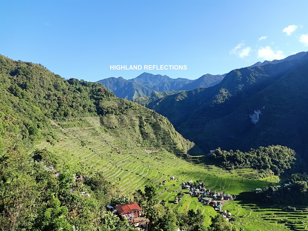
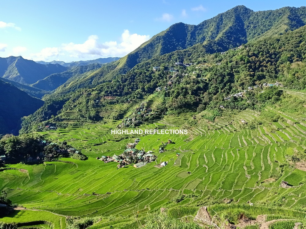
From the Saddle, one will descend the remaining parts of the road until encountering a dead end. This dead end leads to a narrower cemented downward path going to the Batad Rice Terraces. Here, the “Welcome to Batad” signboard marker is erected somewhere along the side of the trail. This cemented trail ends at one of the inns and restaurants in Batad. Hikers can take a rest and eat their breakfast here and savour the commanding view of the Batad Rice Terraces, one of the most magnificent rice terraces in the country. From here, the summit of Mt. Amuyao is already visible on a clear day.
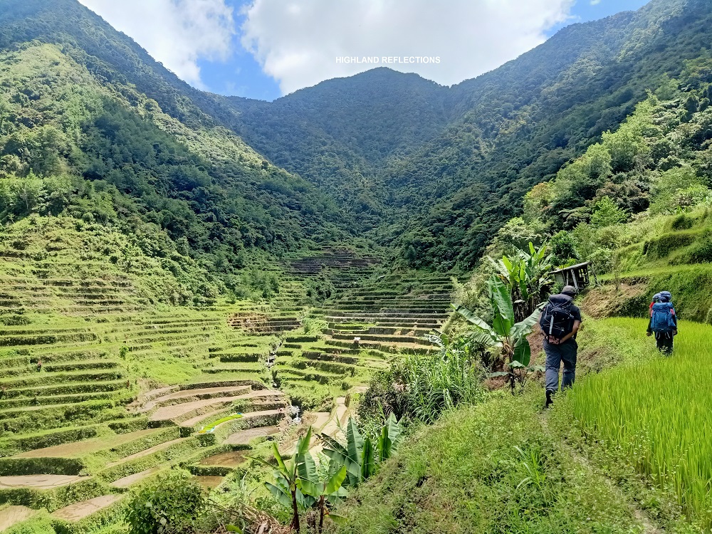
After resting at the view deck, hikers will descend towards the village and pass through an elementary school before reaching one of the topmost terraces of Batad. Hikers need to cross these narrow dikes (pilapil), which reveals different angles of the marvelous amphitheater-like structure of the Batad Rice Terraces. Upon reaching the other side the mountain slope of the rice terraces, there is a junction. The downward staircase to the right goes to the thunderous Tappiya Falls, which can be a side trip if you have an extra time. However, the trail to Cambulo is on an obscure pathway to the left.
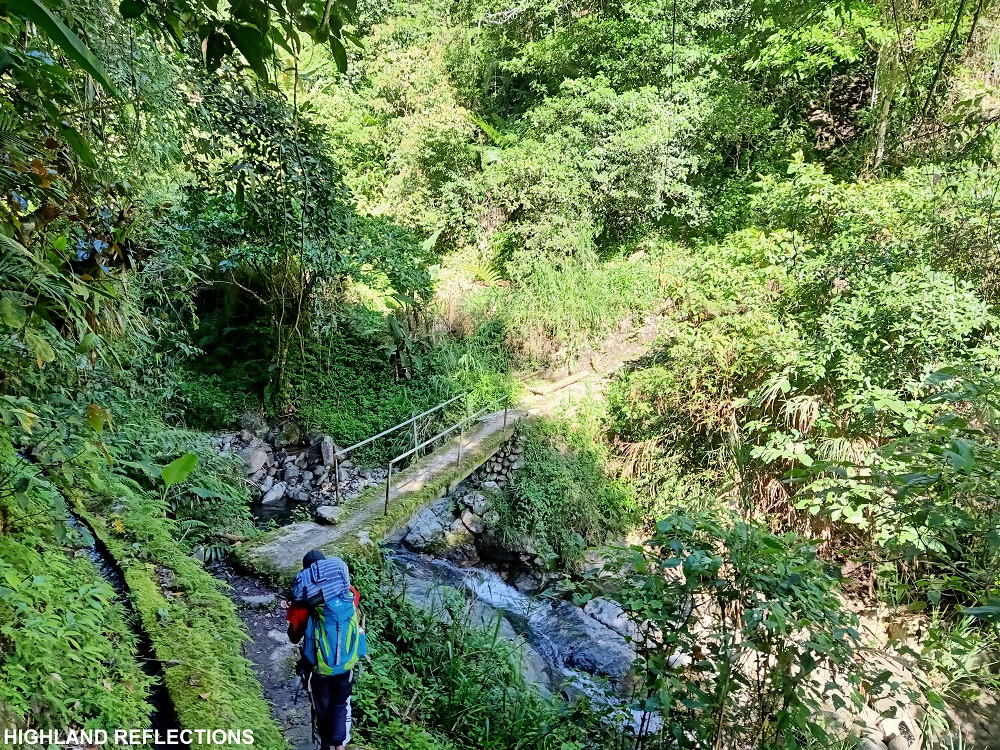
From there, it’s an hour of walk along a wide community path before reaching Cambulo. Most of these paths are descending, since Cambulo (890+ MASL) sits on a lower elevation than that of Batad (1,050+ MASL), and is actually the lowest point in the entire hike. Some notable landmarks on the trail include a cemented bridge, an elongated boulder perched along the mountain slope that blocks the trail (hikers would need to get past this boulder, caution must be exercised here), and the pilapil dikes of the terraces before reaching Cambulo village. If lucky enough, hikers would encounter the rare and elusive jade vine along the trail.
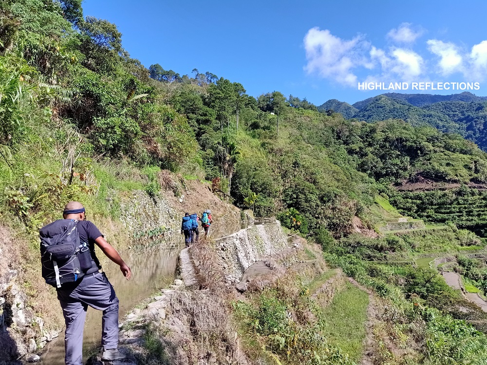
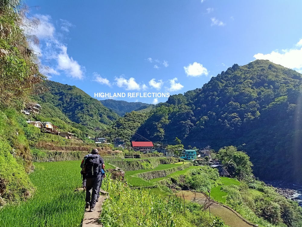
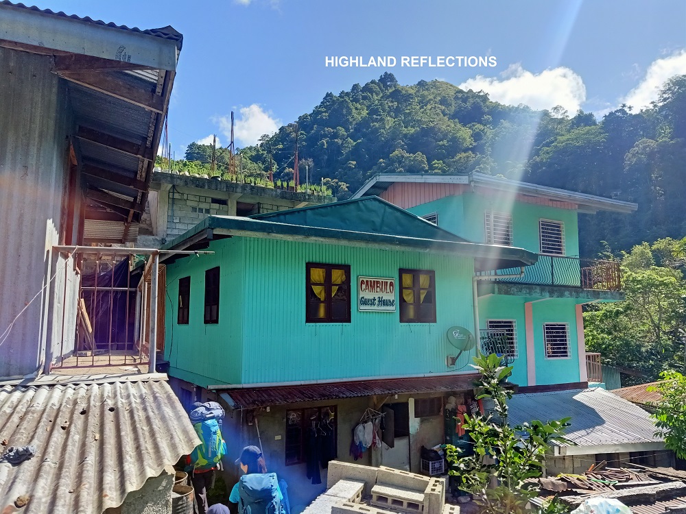
When you reach the village, make sure to tag along with the guide. During our hike, we rested somewhere at the rear of the village’s covered basketball court.
Cambulo to Pat-yay (4-6 hours)
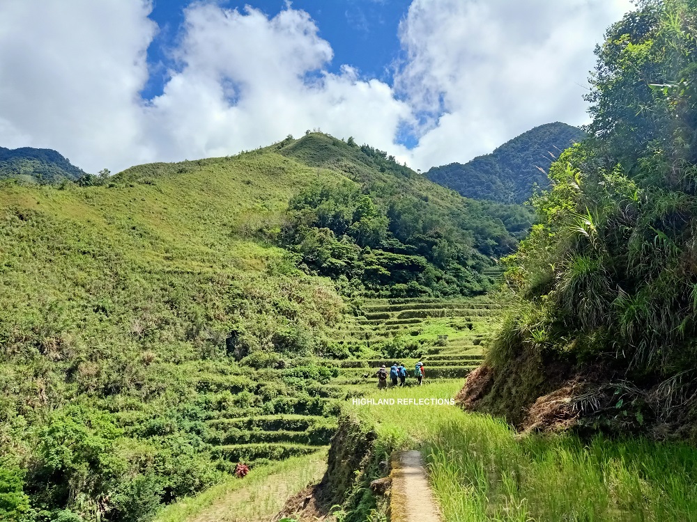
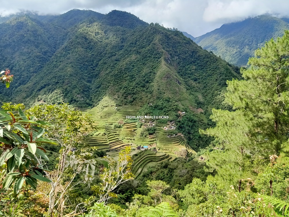
The trail connecting Cambulo and Pat-yay village is one of the most difficult parts of the entire traverse. Exiting Cambulo via a steel bridge, hikers would then be welcomed with a continuous flight of stairs. After this ascending punishment is a long walk along the dikes of the rice terraces of Cambulo, where to the left is a commanding view of the meandering mountain slopes containing more of these rice terraces. To one’s front, one can view an imposing forested mountain that hikers would need to traverse before reaching Pat-yay village.
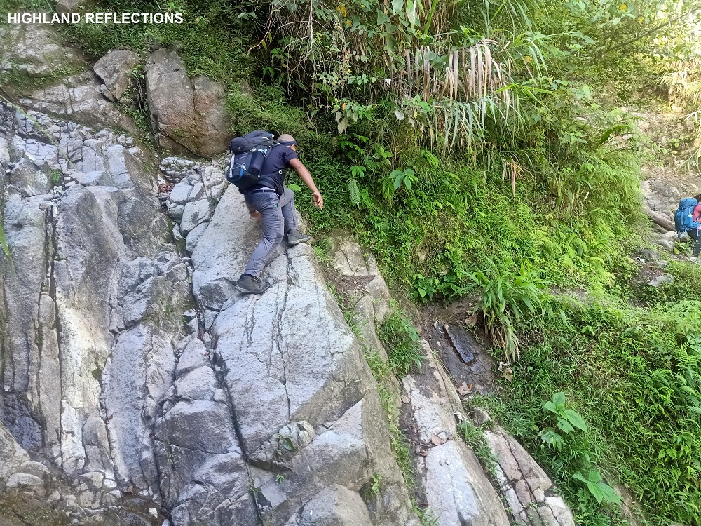
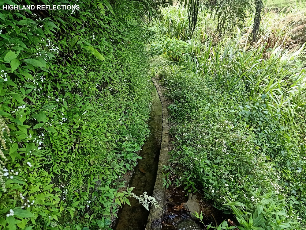
The end of the rice terrace trail is the entrance to the forested mountain. Upon entering the forest, steep slopes and loose soil characterize the trail before reaching a water way junction. Once you encounter the water way junction, turn right.
Past the water way is the start of the nonstop upward trail all the way to the highest point of the mountain between Cambulo and Pat-yay (1700+ MASL, almost 700 meters of elevation again), which we reached after three long hours of continuous nonstop ascent. At the highest part of the mountain is a narrow ridge covered in thick, bent grasses, where to our right is a steep drop. This was a dangerous part as one misstep could lead to a fall on the ravine. At the end of this ridge is a waiting shed where a view of the Pat-yay village to the left below can be seen.
The final 200-meter descent to Pat-yay village is on a grassy slope, which can be completed in a span of 15-30 minutes. Upon reaching Pat-yay village, one can opt to stay at one of the houses in the village or camp out at one of the wide, cemented halls near the houses. We opted for the latter during our hike.
We spent the night there before taking the final assault to Mt. Amuyao’s summit the next day.
Pat-yay to summit (4-6 hours)
We started the summit assault to Amuyao sometime around 2 or 3 in the morning, leaving our full packs at the village and bringing only a light pack. We approached the trail at the left side of the village northwestwards, passing by a number of confusing and narrow rice terraces and a boulder-filled river before reaching the forested part of the trail. The earlier parts of the ascending trail were filled with pine trees and shrubs at the side. Unlike the rice terrace paths in Pat-yay, the trail within the forest was pretty straightforward with no forks, so even if I was alone for the most parts, I did not get lost.
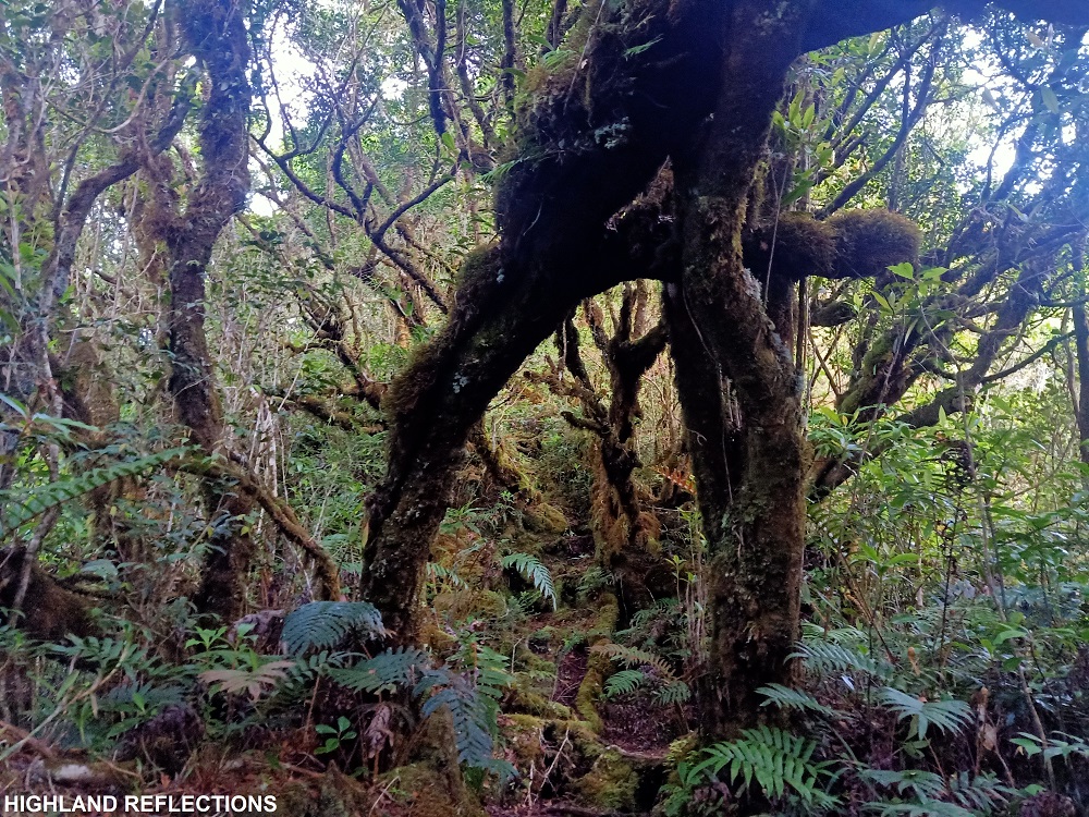
After more than an hour, we reached an open area at the foot of Mt. Amuyao. This is the start of the continuous, final assault towards the summit of Mt. Amuyao. The trail here, despite being inside a forest, was well-established, and as we gained more elevation, trees started to be covered by moss. The mossy forest here wasn’t as grand as that of Kalawitan or Pulag, but it was enough for hikers to be awed by its natural beauty. It was reminiscent of Mt. Apo’s tinikaran forest, where the trees only have thin layers of mosses. It wasn’t claustrophobic as well, mimicking the wide garden-like forested trail of Barlig on the other side.
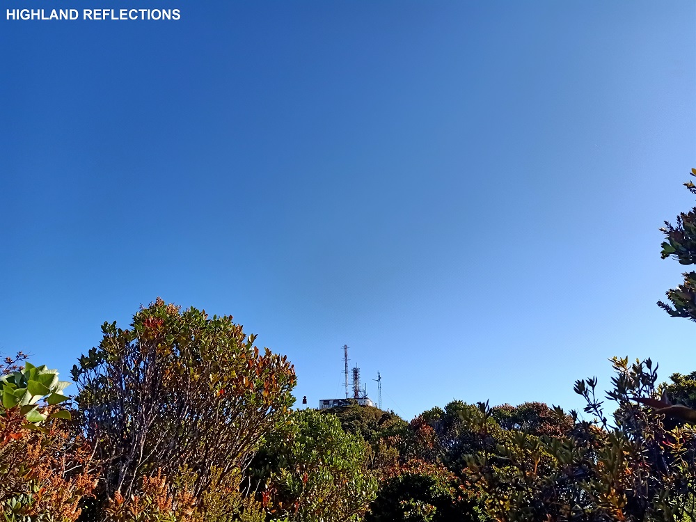
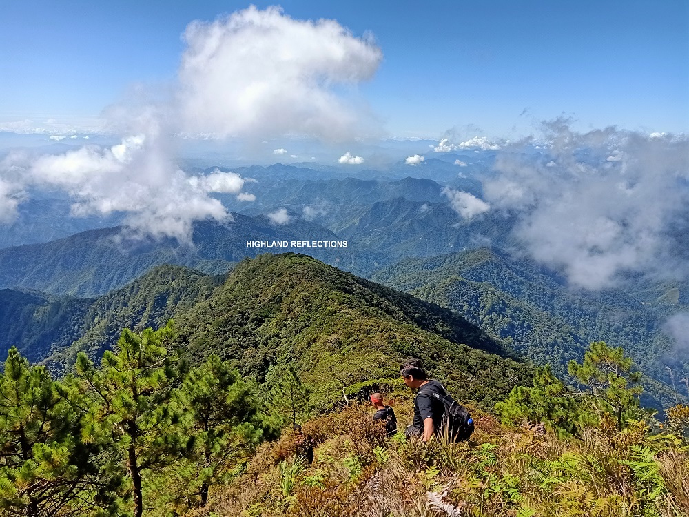
The final stretch of ascent is on a steep slope filled with wild berry shrubs and pine trees. Here, one can have a commanding view of the province of Isabela as well as the Sierra Made mountains in the horizon. The trail, then, turns flat but obscured by tall bamboo grass. Here, the transmission towers at the summit can already be seen, and is just a 2-minute walk away.

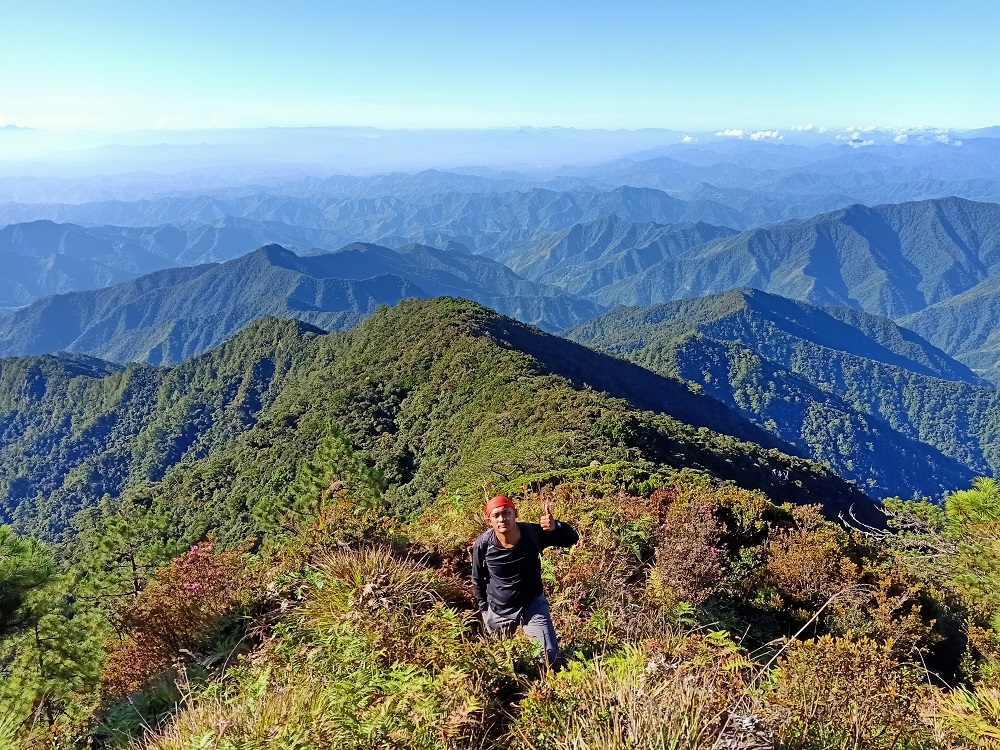
Summit
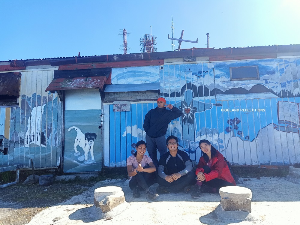
The 2,702+ MASL summit of Mt. Amuyao houses transmission towers of a certain media network company here in the Philippines, as well as two bunkers and an outdoor chapel. The whole compound is cemented, except for the welcome marker at the Barlig side.
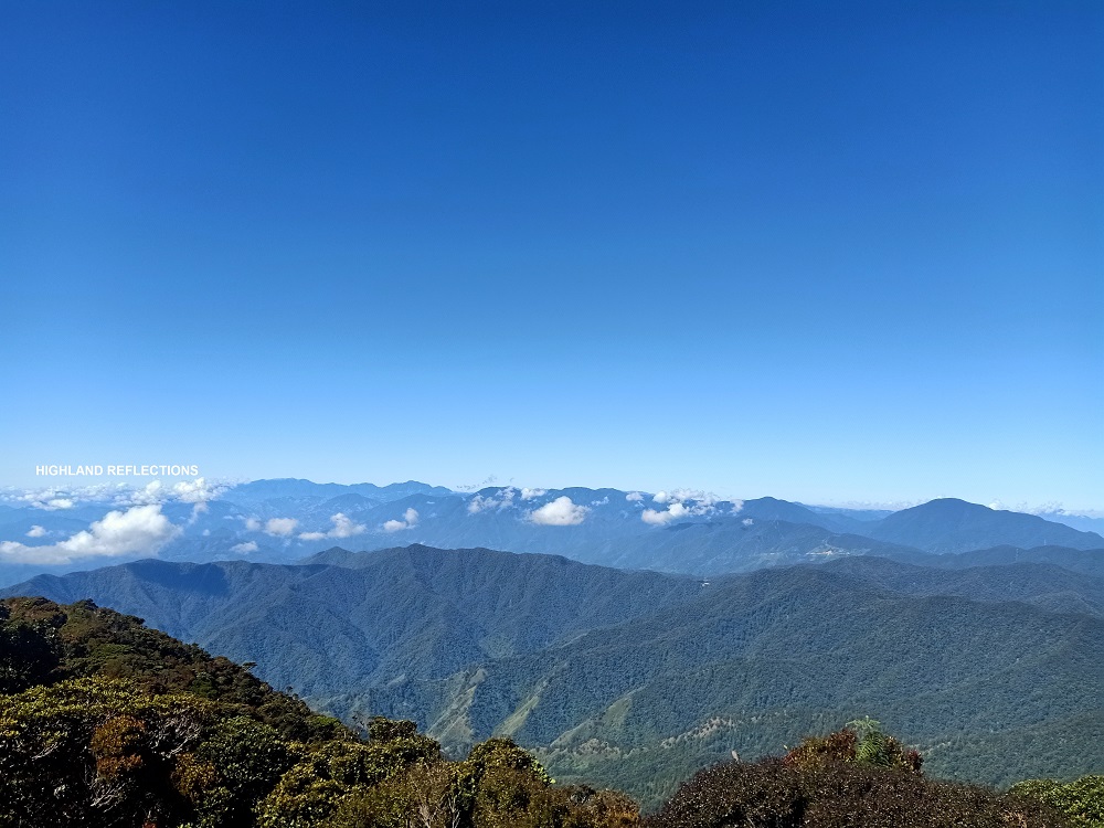
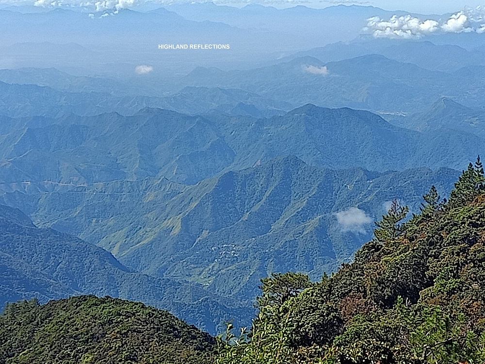
The view atop of Amuyao’s summit provides a 360-degree view of the surrounding Cordillera mountains. The most magnificent view is on the eastern direction, where layers and layers of mountains forming the eastern side of Ifugao can be seen. Behind these mountains is the province of Isabela, and in the horizon, the Sierra Made Mountain Range.
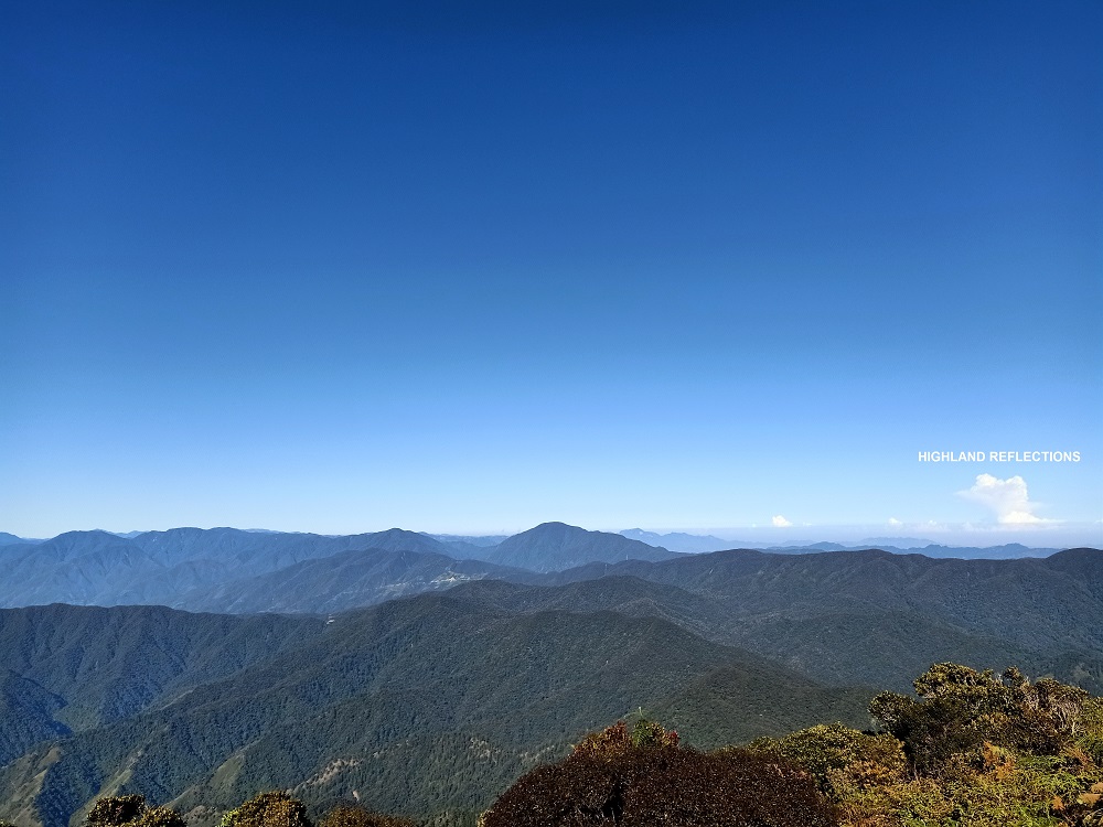
To the south and southwestern direction, one can view (although nearly indistinguishable from each other) the highest summits of Luzon—Mt. Pulag (1st), Mt. Tabayoc (2nd), Mt. Panotoan, Mt. Al-al, Mt. Napulauan, Mt. Kapiligan, and Mt. Abao, the farthest of which is Mt. Pulag, distinguishable because of its grassy summit.
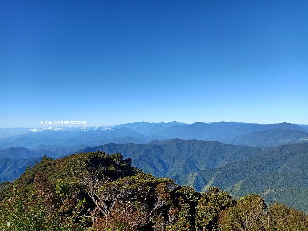
To the west, the neighboring Mt. Kalawitan, Luzon’s 4th highest summit, was saying hello to us!
Completing the view was the northern direction. This was the Barlig side of Mt. Amuyao where the welcome marker can be found. The view was comprised of mountains surrounding Bontoc, Mountain Province, and the mountains of the province of Kalinga, including the sleeping beauty mountain, Mt. Patukan.
We stayed at the summit for almost two hours and took our breakfast. We started the descent around 9:30 in the morning, taking us 2.5 hours to reach Pat-yay on a moderately fast pace.
Pat-yay to Mayoyao (3-5 hours)
If the trail from Pat-yay to the summit of Amuyao is on the left side of the village, the exit trail to Mayoyao, on the other hand, is on the right. The average time it takes to reach the end of the trail is around 4 hours, according to our team lead.
The initial parts of the trail involves a knee-shattering descent on a very long cemented stairway that stretches almost infinitely! While descending, one can have a view of the rice terraces of Barangay Magulon, which is already within the jurisdiction of the town of Mayoyao. Several waterfalls can also be seen along the slopes of the mountainside to the left.
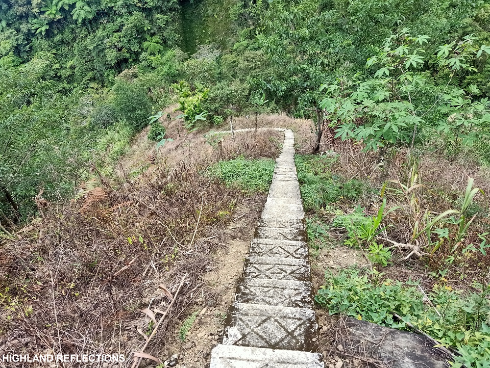
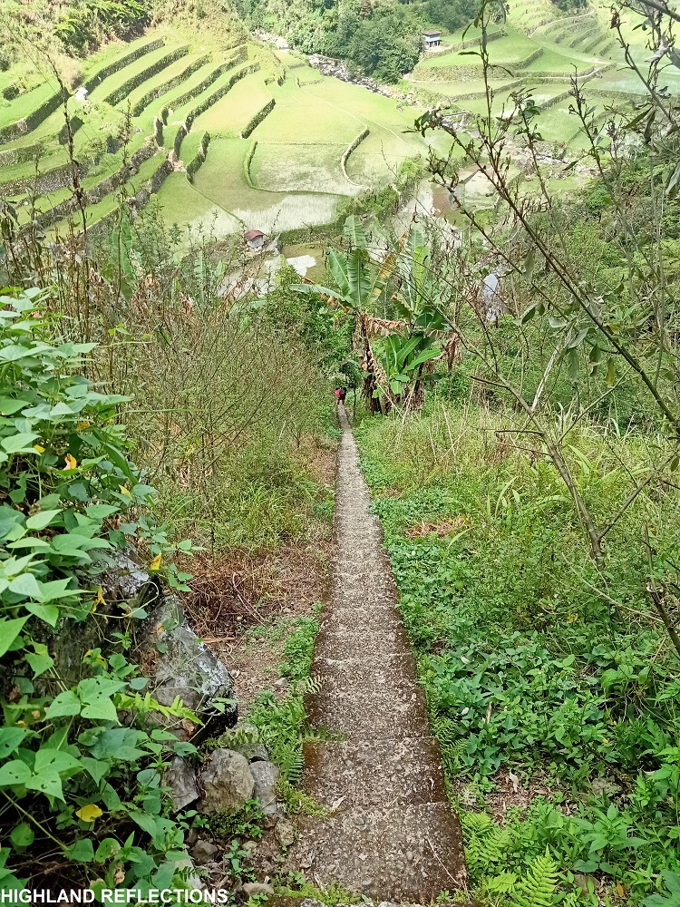
At the end of the stairway is the entrance to the rice terraces of Magulon that was viewed from the long staircase prior. Past the dikes of the terraces, hikers would enter local pathways dotted with houses.
The trail continues on a road-wide footpath at the side of a mountain slope on the right. To the left of this trail is a stretching mountain range with more rice terraces below it, and is the last among the many rice terraces for the entire hike. Between these terraces and the trail is a meandering river below. This flat section is the longest part of the entire path between Pat-yay and Mayoyao.
The next stretch of this community path is on a descending, rocky road that ends on a farming community. Past this is another round of descending staircase that leads to a hanging bridge. At the other side of this bridge is a cemented pathway that exits towards an ascending cemented road, marking the final stretch for the entire hike. This 4-kilometer road, which apparently is still not visible in online maps as of this writing, is the final stretch of the entire hike. The road exits through the Banaue-Mayoyao-Alfonso Lista-Isabela Boundary Road in Barangay Mapawoy, Mayoyao, Ifugao.
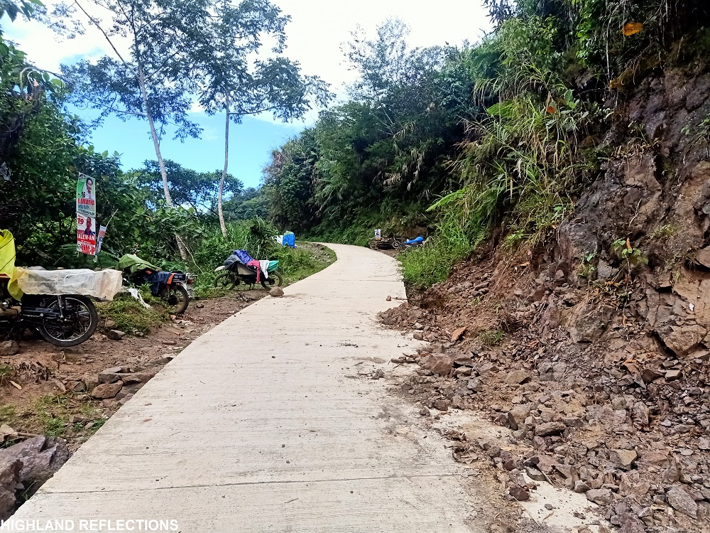
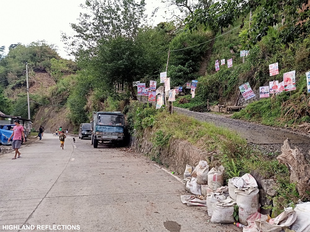
If lucky enough, hikers can hitchhike via trucks or motorcycles (habal-habal) that frequent the road. However, if like most of us who were prideful enough to finish the entire traverse, we power-walked all four kilometers of the ascending road with our full packs on. Towards the end of the road is a junction, in which the road to the left goes to the trailhead to Tenogtog Falls. Take the trail to the right as this exits towards the Banaue-Mayoyao-Alfonso Lista-Isabela Boundary (highway) Road. Before reaching the highway, one would encounter a narrow gorge that forms a tunnel around the highway, kind of like an entrance to a magical world.
Shortly, one will reach the Banaue-Mayoyao-Alfonso Lista-Isabela Boundary Road. At the opposite side of this road is a sari-sari store and a house where hikers can take baths and order some instant noodles.
Mt. Amuyao via Batad-Mayoyao Trail: complete!
Itinerary:
Note: while most hikers would do the whole traverse within two days and one night, I would highly recommend stretching the itinerary for three days and two nights for a more relaxed pacing. Doing the entire traverse for two days and one night requires the maximization of the entire two days, and is a strenuous hike even for experienced mountaineers. Thus, I would provide two itineraries here, one for a 2d1n schedule, and one for a recommended, 3d2n itinerary.
Two days and one night
This was our actual itinerary when we did the traverse back in April, 2022.
Day 0
08:00PM ETD Quezon City
Day 1
04:00AM Banaue, breakfast
07:00AM Batad, start hike
07:30AM Batad Rice Terraces, take pictures
09:00AM Cambulo Village, rest
09:30AM Resume hike to Pat-yay village
02:30PM Pat-yay village, set camp
07:00PM Lights out
Day 2
03:00AM Start final assault to summit
07:30AM Summit, breakfast
09:30AM Start descent to Pat-yay
12:00PM Pat-yay, lunch
02:00PM Start descent to Mayoyao
06:00PM Mayoyao highway, wash-up
08:00PM Banaue, dinner
Day 3
06:00AM Back in Manila
Three days and two nights (recommended itinerary)
Day 1
08:00AM Batad, start hike
09:00AM Batad Rice Terraces, take pictures
10:00AM Cambulo Village, rest
10:30AM Resume hike, lunch along the trail
03:00PM Pat-yay village, settle and rest
Day 2
01:00AM Start final assault to summit
05:00AM Summit of Amuyao, wait for sunrise
09:00AM Start descent
01:00PM Back in Pat-yay, rest, explore the village
Day 3
05:00AM Start hike to Mayoyao
10:00AM Mayoyao highway, wash-up
12:00PM Banaue, lunch, side trip
10:00PM Back in Manila
Contact Persons
As of now, Kuya Amor Halino serves as the guide for the traverse. You may contact him on his Facebook profile for queries and questions. Make sure to drop him at the junction going to Batad on your way home.

Hi,
Thank you for sharing this nice trek ! I would be interesting to contact the guide but couldn’t find him on Facebook. Do you have his precise contact please ?
Thanks !!
Jessica
LikeLike