Five days after the Philippines celebrated the Day of Valor, I scaled one of Central Luzon’s wonders – Mt. Natib. Situated in the northern peninsula of Bataan, Mt. Natib is a regular hiking destination among old school and new breed mountaineers – just like Tarak Ridge, but is less preferred by travel organizers due to its mildly difficult and technical trail (major climb category and difficulty level of 5/9 according to Pinoy Mountaineer). Its summit, rising at an elevation of 1250+ MASL, is the highest point in the Bataan National Park and second only to Mt. Mariveles’ Pantingan Peak (1400 MASL), which I will have to conquer soon.
Joining me in this hike was Ate Bonavie, Ate Allen, Kuya Michael the first, and Kuya Michael the second – all of whom are regular joiners of The Chill Trekker, the group I was with during our Mt. Napulauan and Mt. Irid day hikes. We rendezvoused at our usual meeting place at McDo Greenfield in Shaw. This was originally a Mt. Pinatubo via Inararo Trail event, but because of the summer showers, the locals there decided to close the mountain temporarily. Because of this, Ate Bona and I convinced the organizer to go to Mt. Natib instead – and our wish got granted! We left at exactly 11:30 in the evening.
En route to Bataan via San Fernando, Pampanga, heavy rains poured. The highway was easily flooded due to the heavy downpour. While traversing the Bataan Provincial Highway, we turned right, going straight to Barangay Tala in Orani, Bataan. At 2:30 in the morning, we reached the end of the road that is barred by a gate. There, we registered and waited for our guides to appear. The rain has now stopped. We started the hike at exactly 4 in the morning.
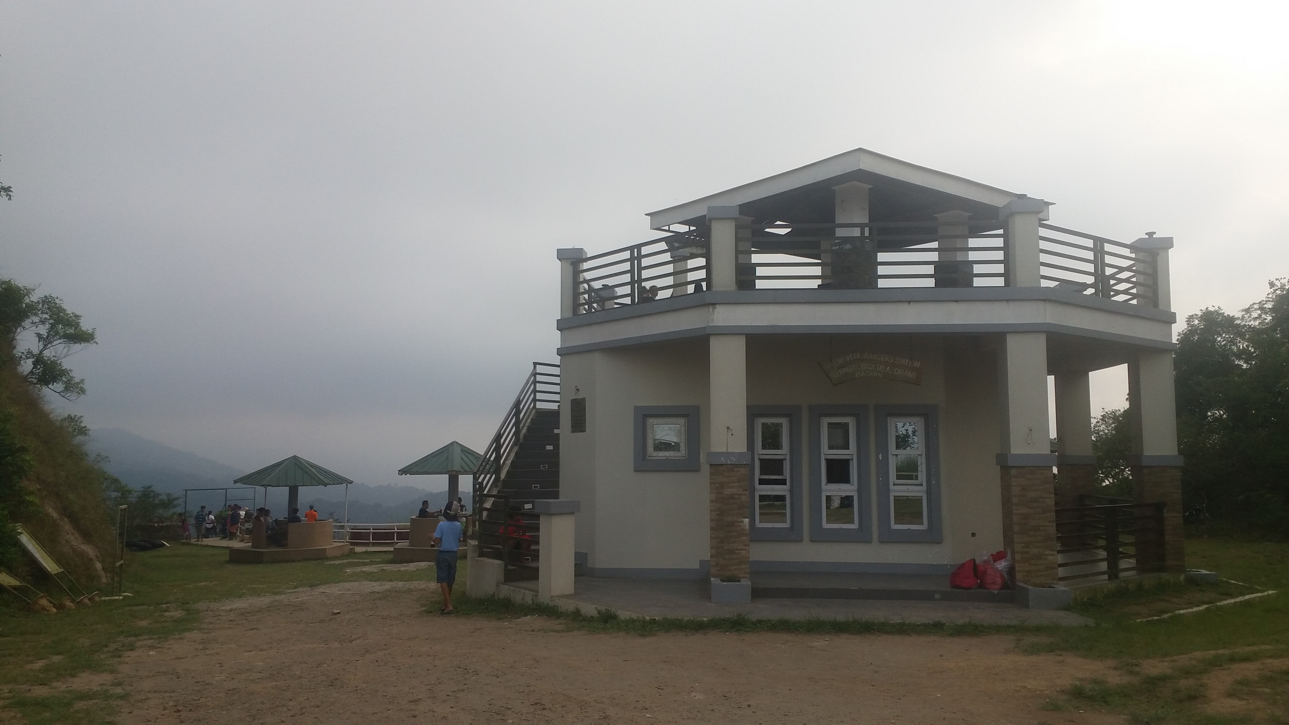
The hike starts by entering the gate, which is beside the Sinagtala Resort. There, the pavement continues upwards until it becomes an ascending dirt road, where to our right, the northern parts of Bataan can be seen below. Despite the rain that occurred an hour ago and the fog enveloping the trail, the air felt very dry. We reached the first stop of our hike, the Tala View Deck, an hour later. The place was complete with gazebos, a view deck, and comfort rooms. There, we rested for a few minutes and had our mandatory bathroom breaks (ang ganda nung CR eh).
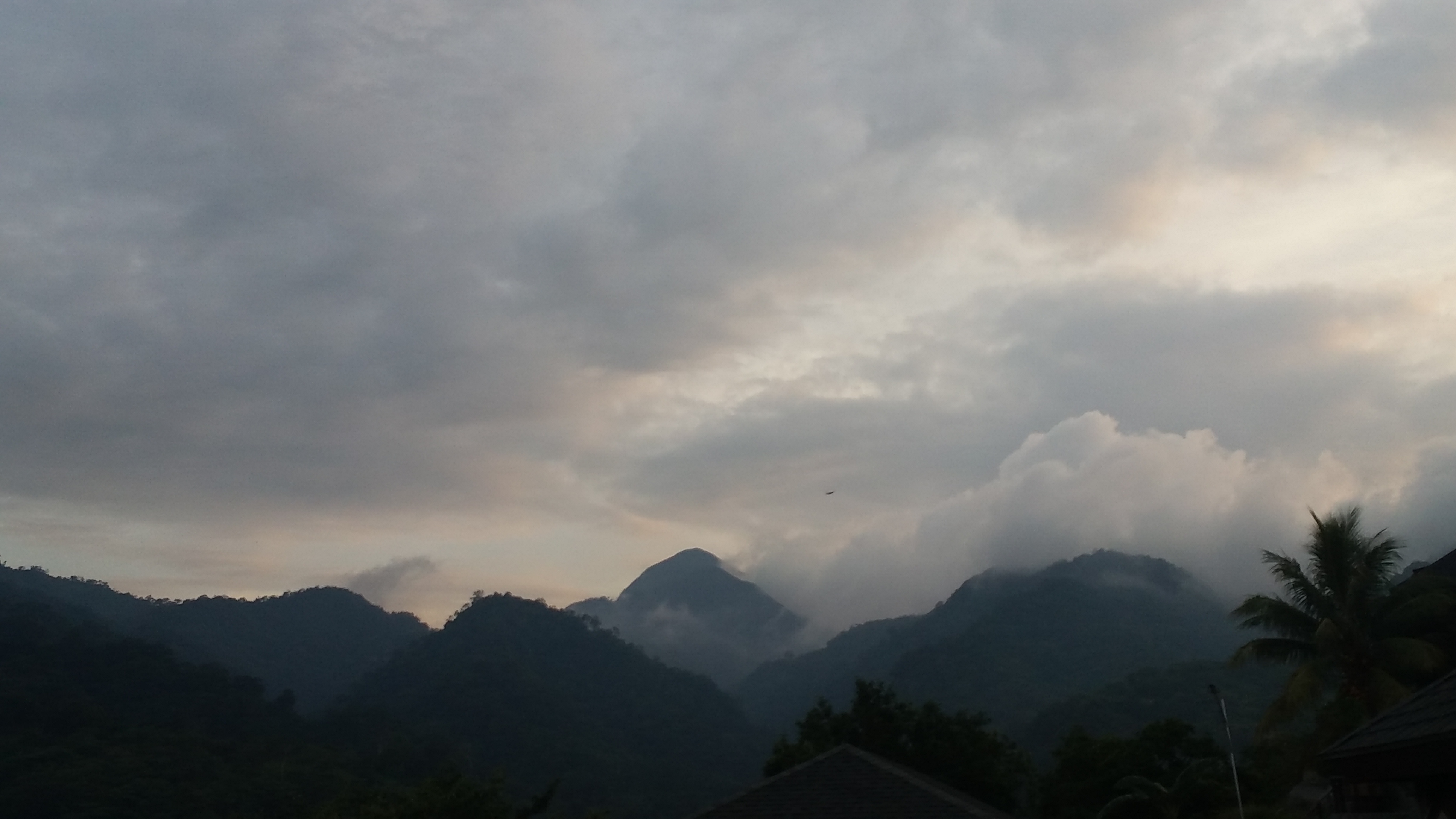
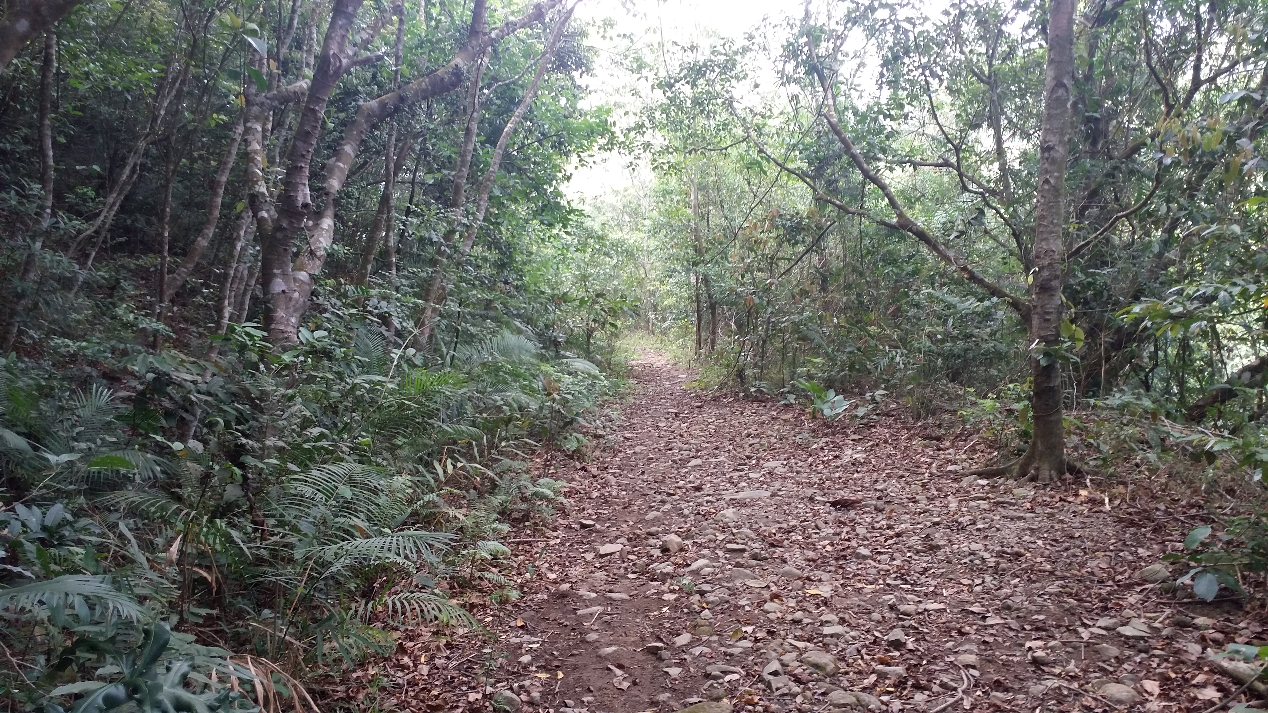
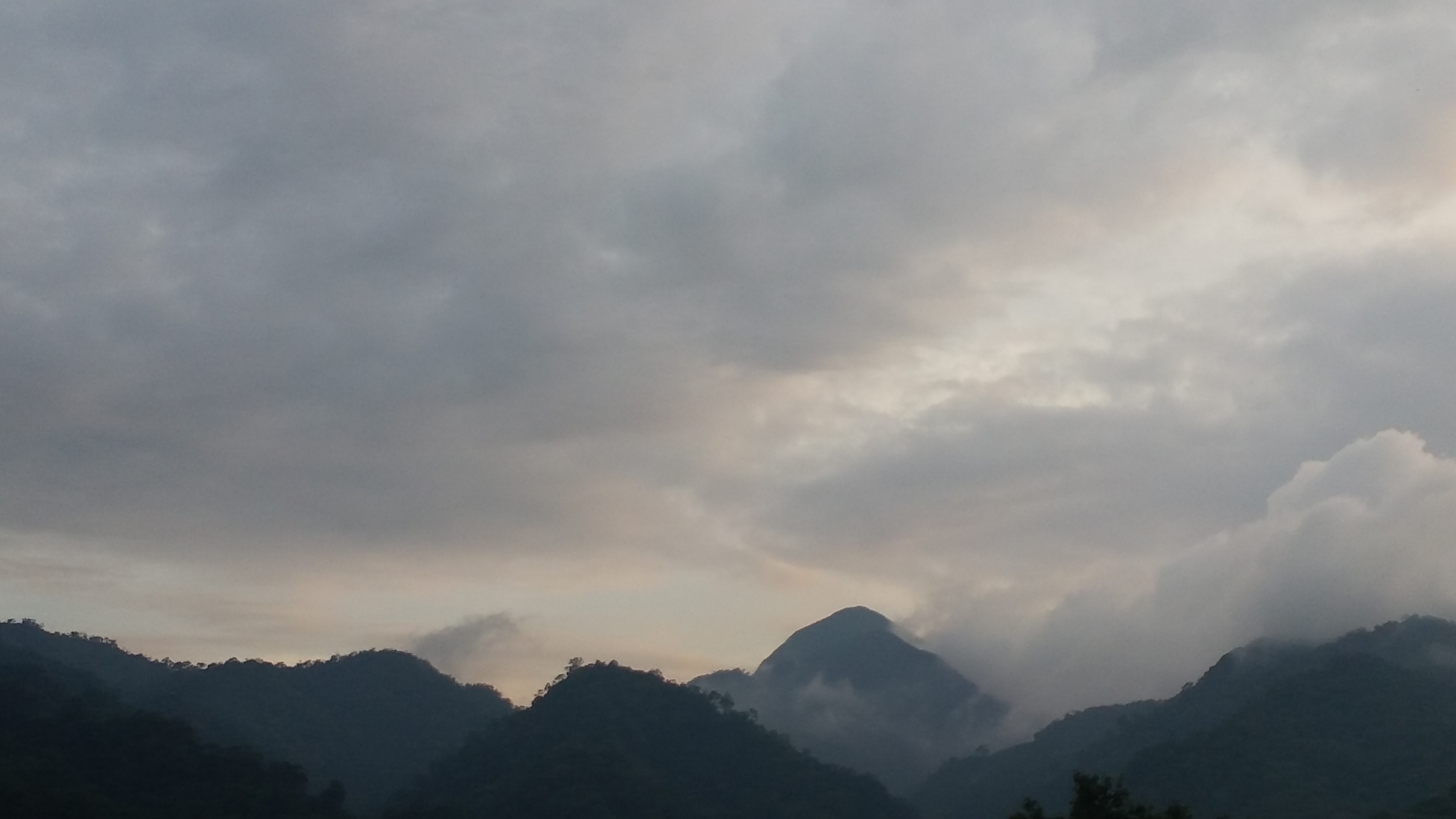
We continued the hike going towards the left side of the view deck, where a view of Mt. Natib can already be seen from afar – its summit covered in clouds. From this point, Ate Allen, Michael and I speeded up. The trail is relatively flat with a few descending portions. We were walking on the mountain sides that are part of the numerous slopes of Mt. Natib. Since we were going fast, the three of us and the guide opted to wait for the others. We were now in the middle of a rain forest. The sky was now turning blue, and the surrounding gave off a complementing eerie vibe that can only be experienced in mountain trails. Different species of birds were also chirping, as if welcoming us in the humble, natural abode. What an experience!
We continued the hike and reached Pinagbutasan Campsite – the only water source along the trail. The area was quite spacious and can accommodate at least dozens of tents. We rested there for a bit and refilled our water bottles. Continuing the hike, Ate Allen, Michael, and I were speeding up once again. Since the trail was relatively flat and only mildly gradually ascending, we took the chance to cover as much distance as possible.
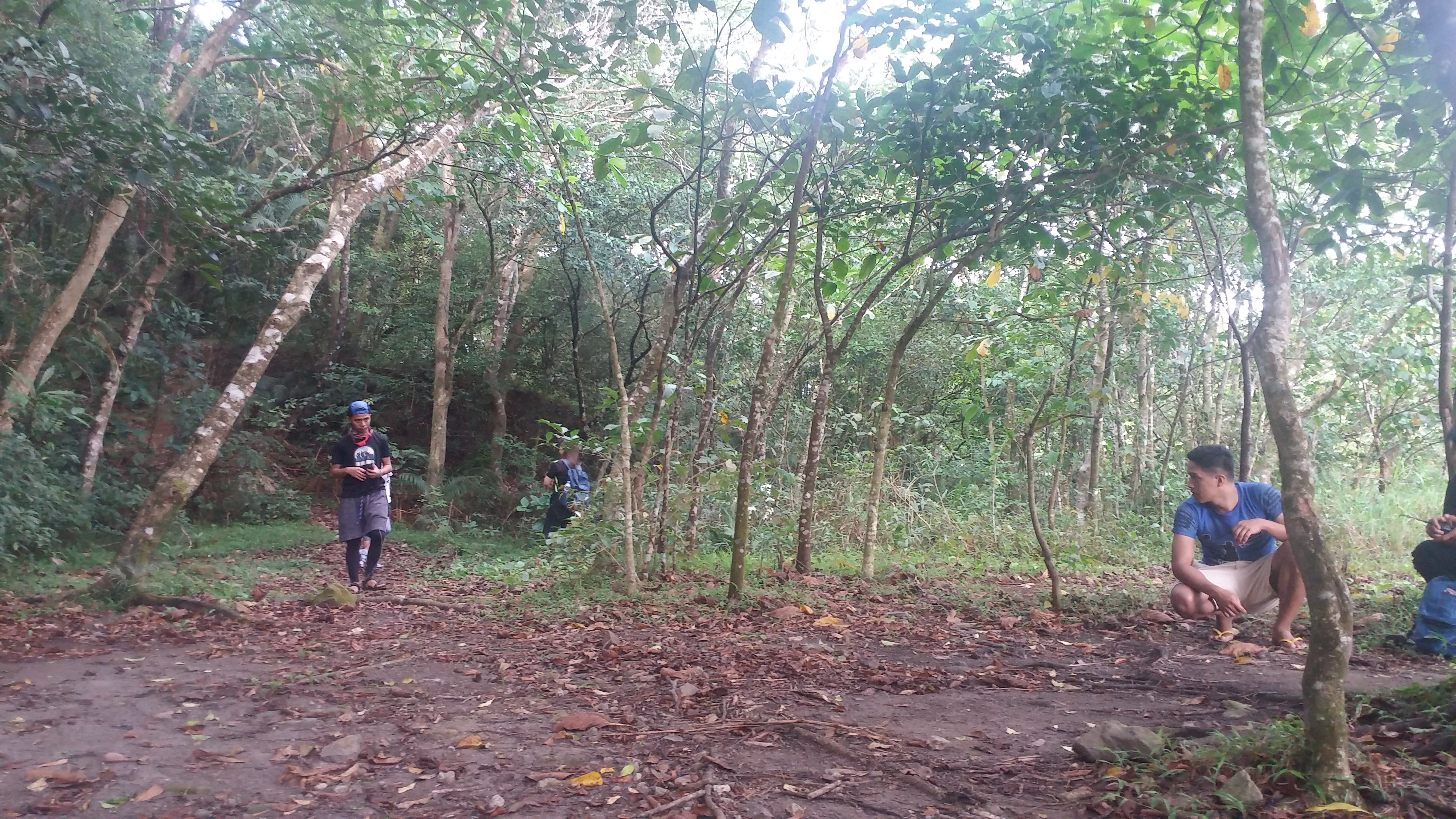
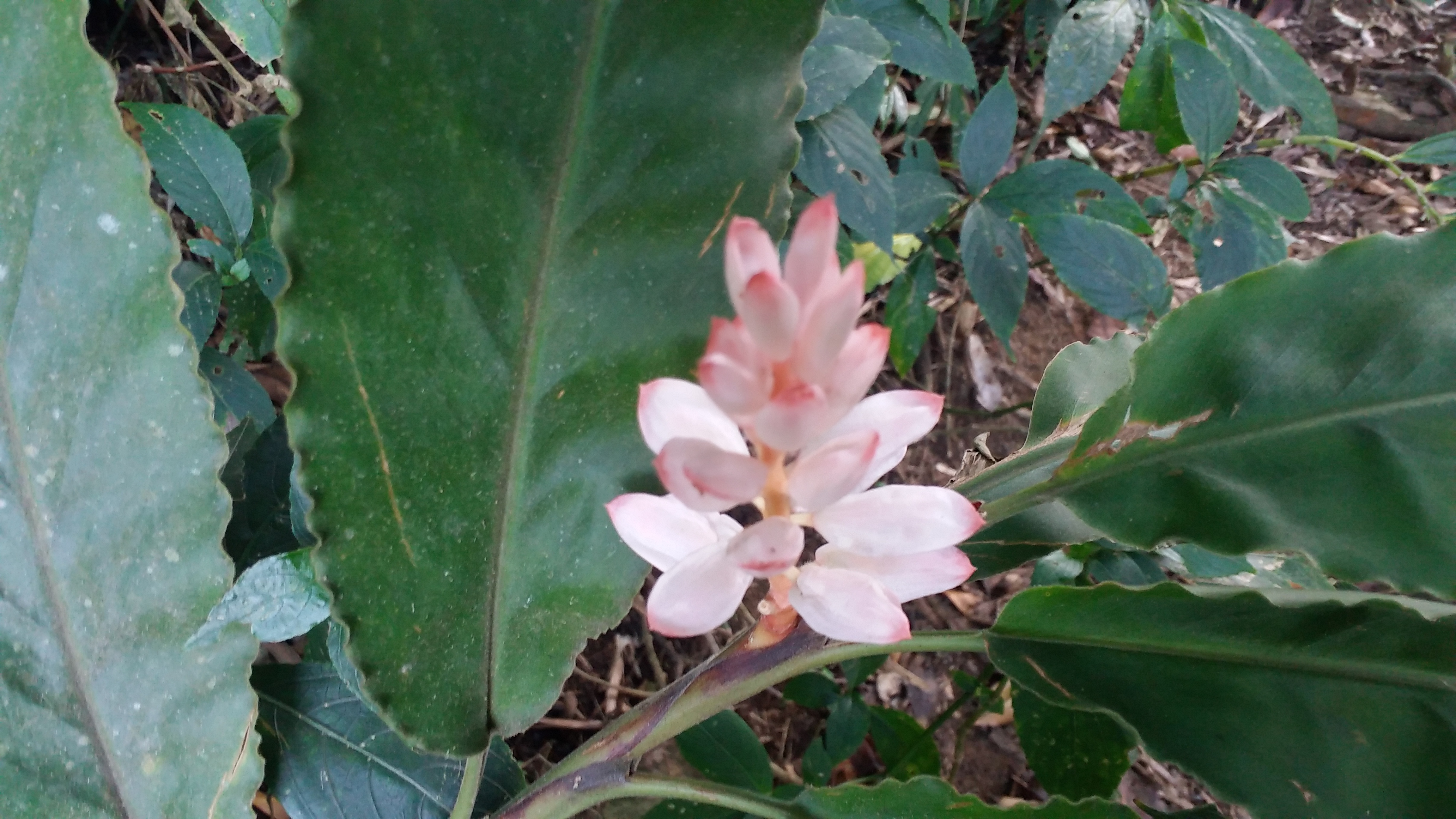
The surrounding is somehow reminiscent with that of Tarak Ridge, the difference is there are more species of plants along the trail of Mt. Natib. Various ferns and undergrowth, as well as dipterocarp trees, were scattered at the side of the trail. This relatively flat path we were treading on extends up to the foot of the summit of Mt. Natib.
At 6:00 in the morning, we reached the junction, which also serves as a campsite. Going straight leads to the summit, while turning left is the trail going to Pasukulan Falls – our side trip for the day. After a few minutes of resting, we continued our hike towards the summit. The trail continues to be relatively flat, then exiting the forest where grassland ensues. Then, we emerged from the grassland towards another campsite. This marks the end of the flat trail and the start of the continuous assault towards the summit. We were now at the foot of the summit of Mt. Natib.
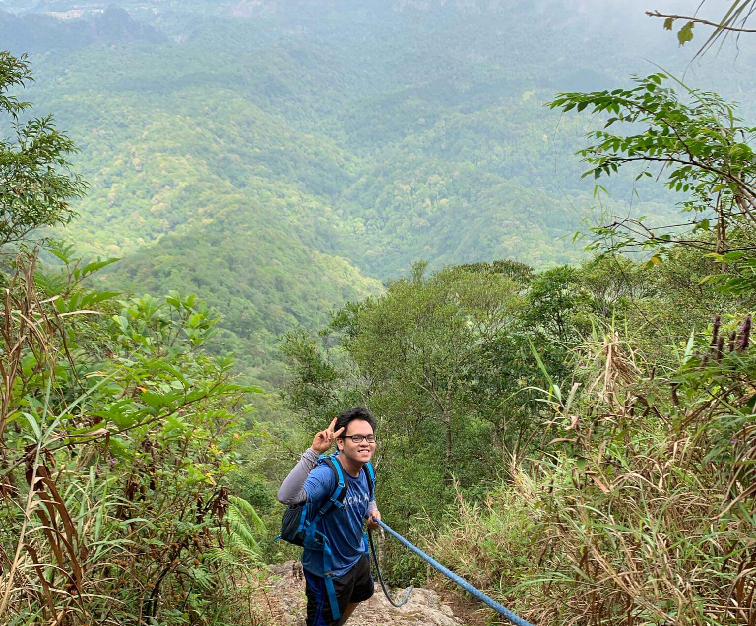
We rested for a bit and had our morning breakfast at the foot of the summit. From there, it would take almost an hour to reach the top. Going towards the summit, the trail consists of nine roped segments that one needs to negotiate in order to ascend (and descend). We continued the hike at around seven in the morning. The first roped segment was already encountered at the start of the assault – eight more to go!
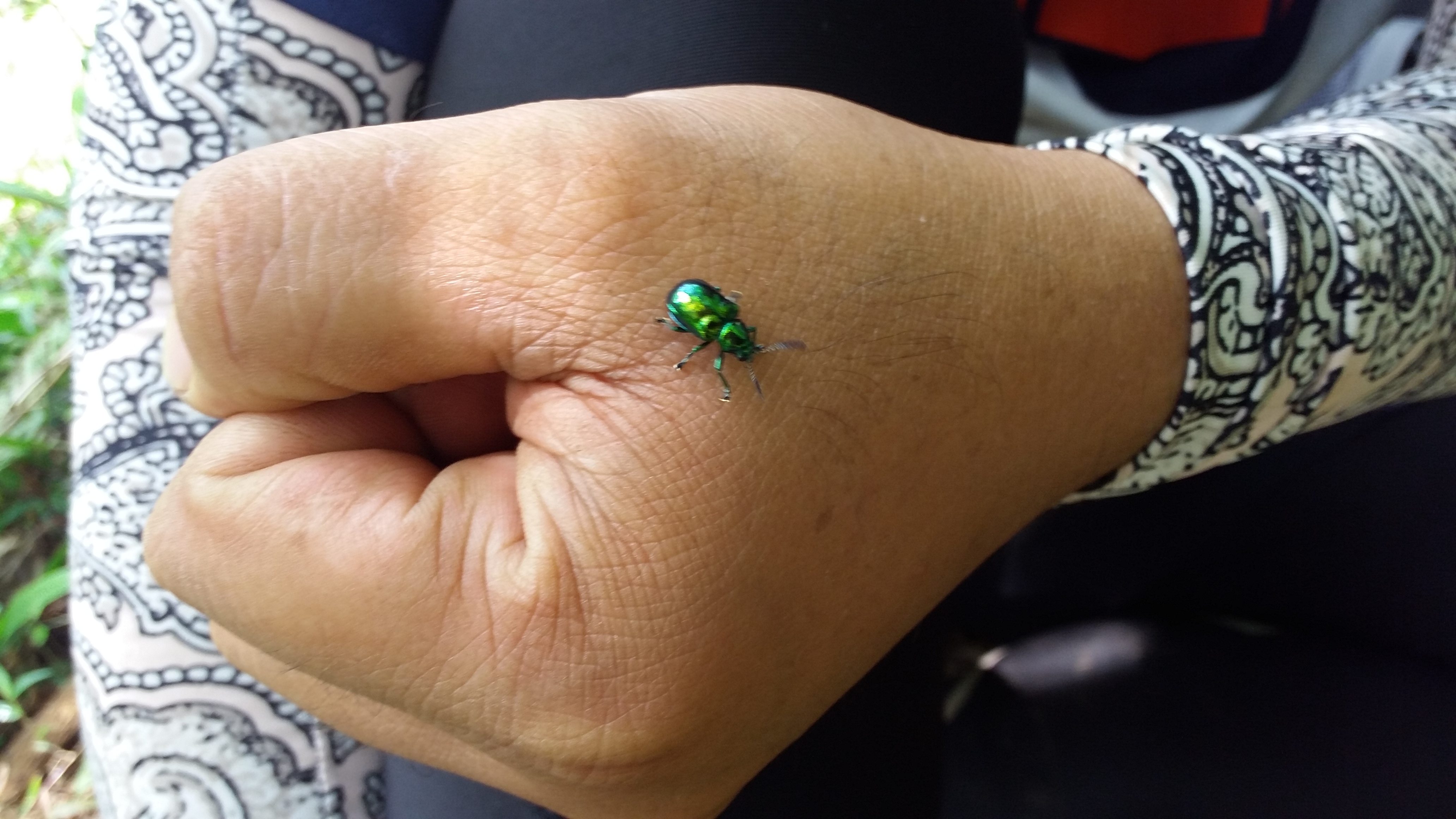
After the first roped segment, the trail continues upwards. Unlike the trail we initially treaded, this one felt claustrophobic. Plants were obscuring the trail – and this is where the attack of the limatiks starts! These pesky, cute residents of Mt. Natib are already a familiar sight for me, given that I have only recently climbed two heavily limatik-infested mountains – Mt. Napulauan and Mt. Irid. Contrary to what other hikers say, these creatures aren’t really that aggressive as compared to those in Mt. Irid.
After minutes of continuous assault, we reached the succeeding roped segments, each of which are only separated by a few meters of ascent.
The third roped segment was actually my favorite. It was the only part that gives off a view of the forested “crater” of the volcano (yes, Mt. Natib, just like Mt. Mariveles, is a dormant volcano). After that, we continued our ascent towards the other roped segments. I was actually not using the ropes because I preferred scrambling up with all of my four limbs – just like wall climbing. After minutes of negotiating the technical trail, I reached the summit of Mt. Natib at exactly 8 in the morning – four hours after commencing the hike!
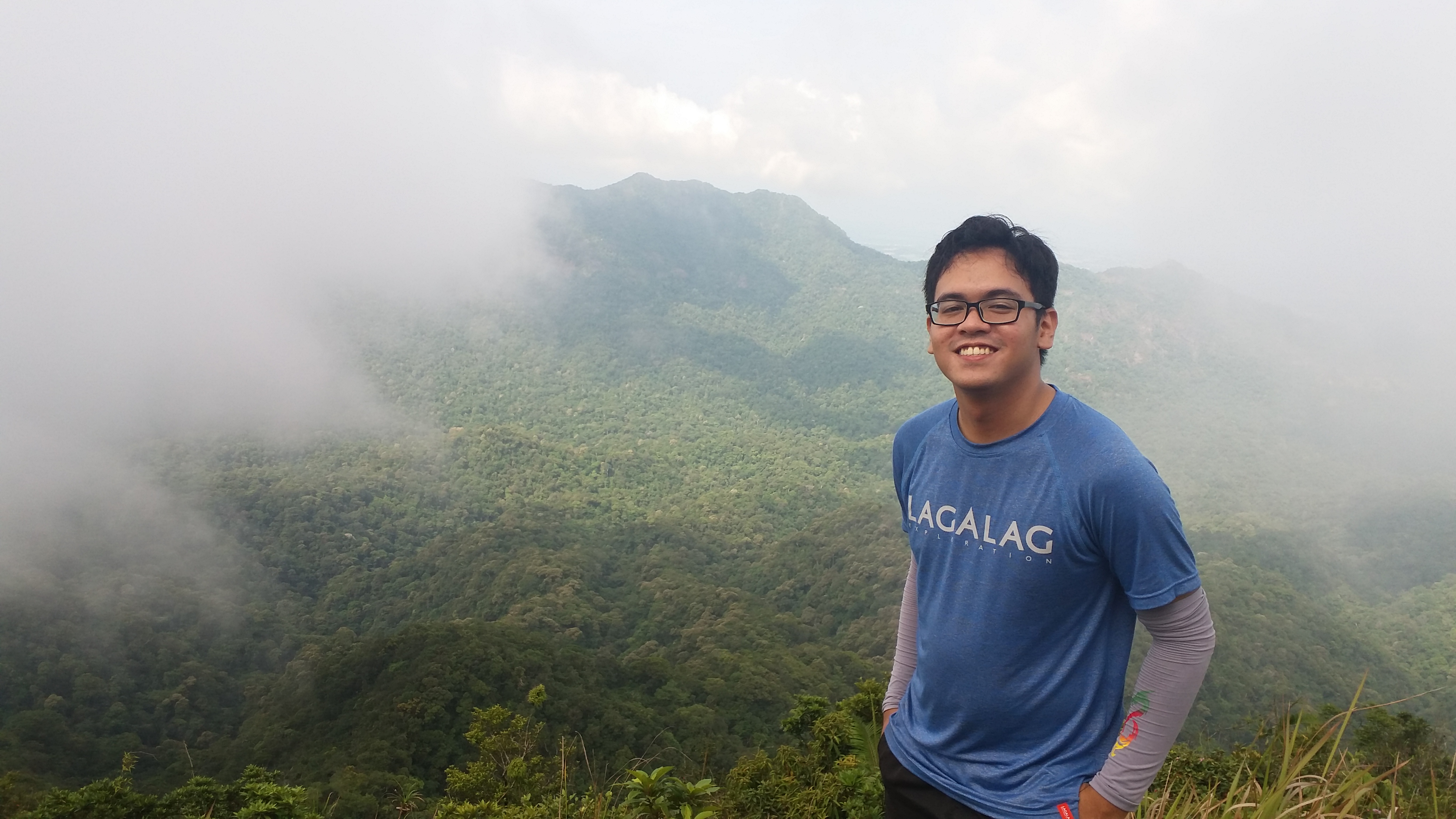
I had the summit all to myself since I was the first one there. There, I took the chance to get some sleep while waiting for the others. The summit is a wide grassland that gives a 360-degree view of the surrounding, which sadly, at that time, did not present itself because of the fog. When my companions arrived minutes after, we rested and had our breakfast there. I insisted that we stay there for as long as we can so that we can wait for a possible clearing.
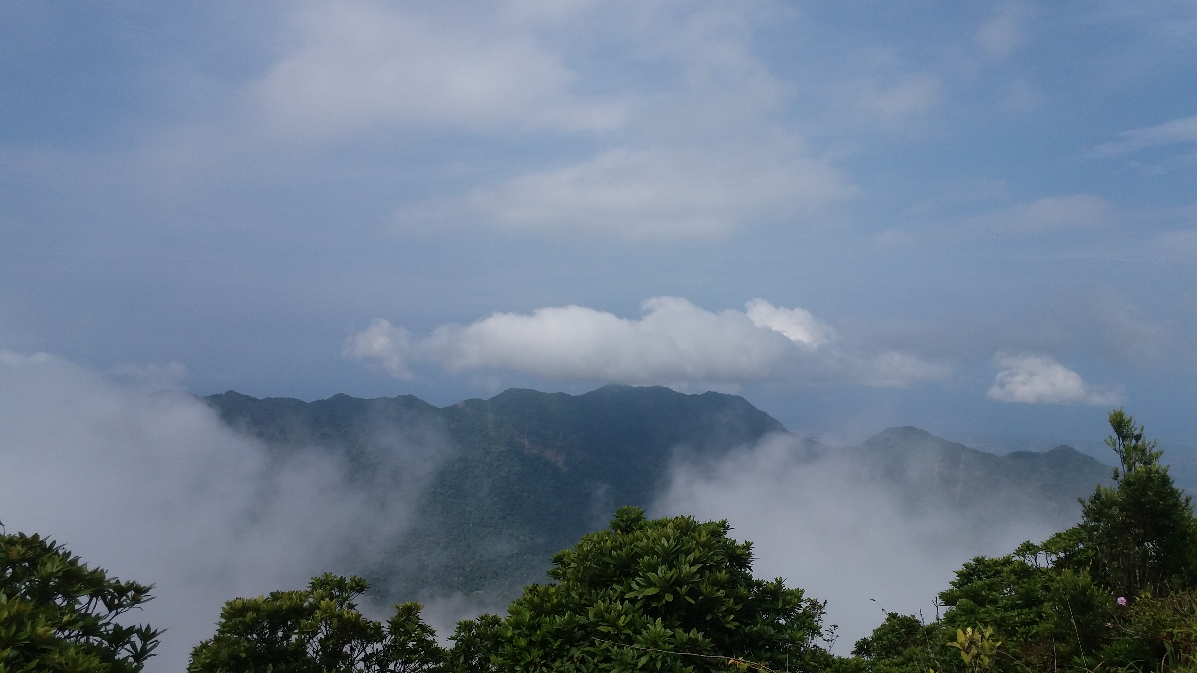
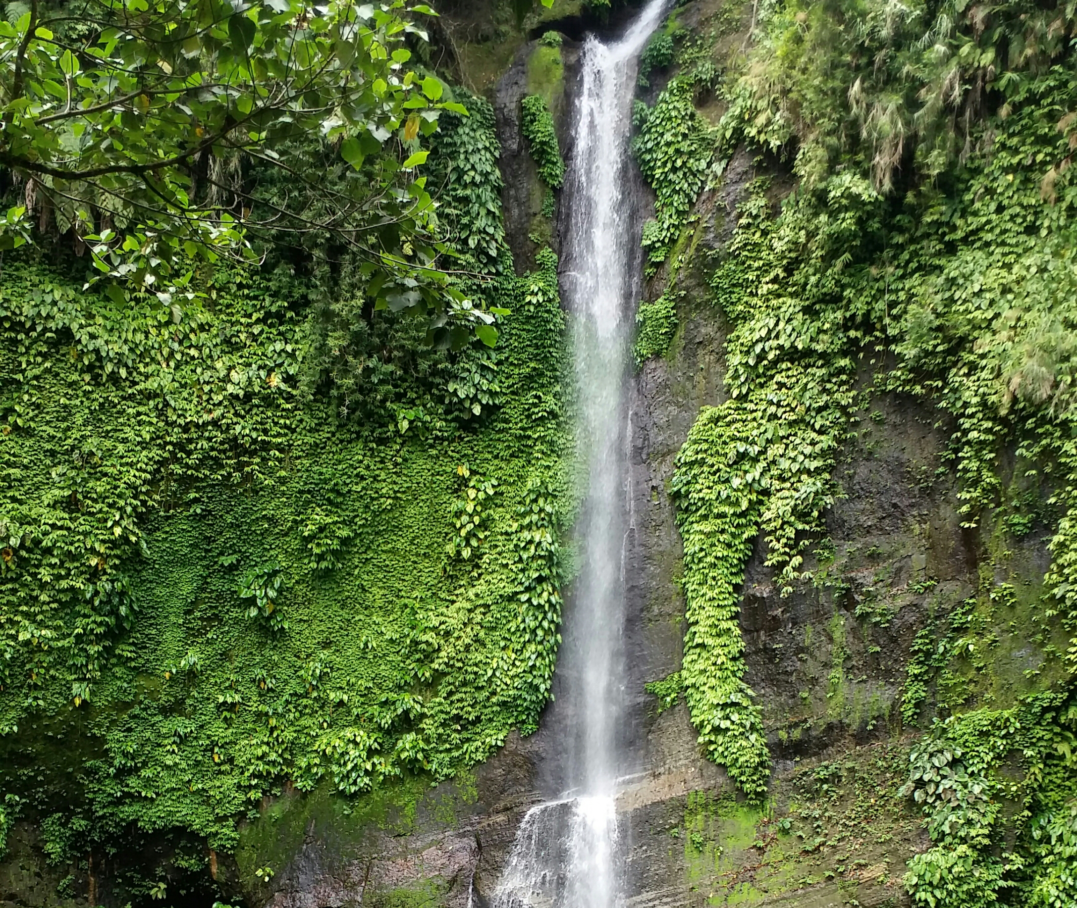
Apparently, the heavens did not grant my wish. The whole place, despite the presence of the sun from above, was still covered with thick fog and strong winds. What the heavens did, however, was to tease us from time to time. The northwestern view sometimes clears up and we would have a sight of the enormous caldera of Mt. Natib from the other side of the “crater”. The mountain range that forms the caldera in the Western side of Mt. Natib seem to be in equal height as the summit itself. I wonder if there are trails existing in those parts.
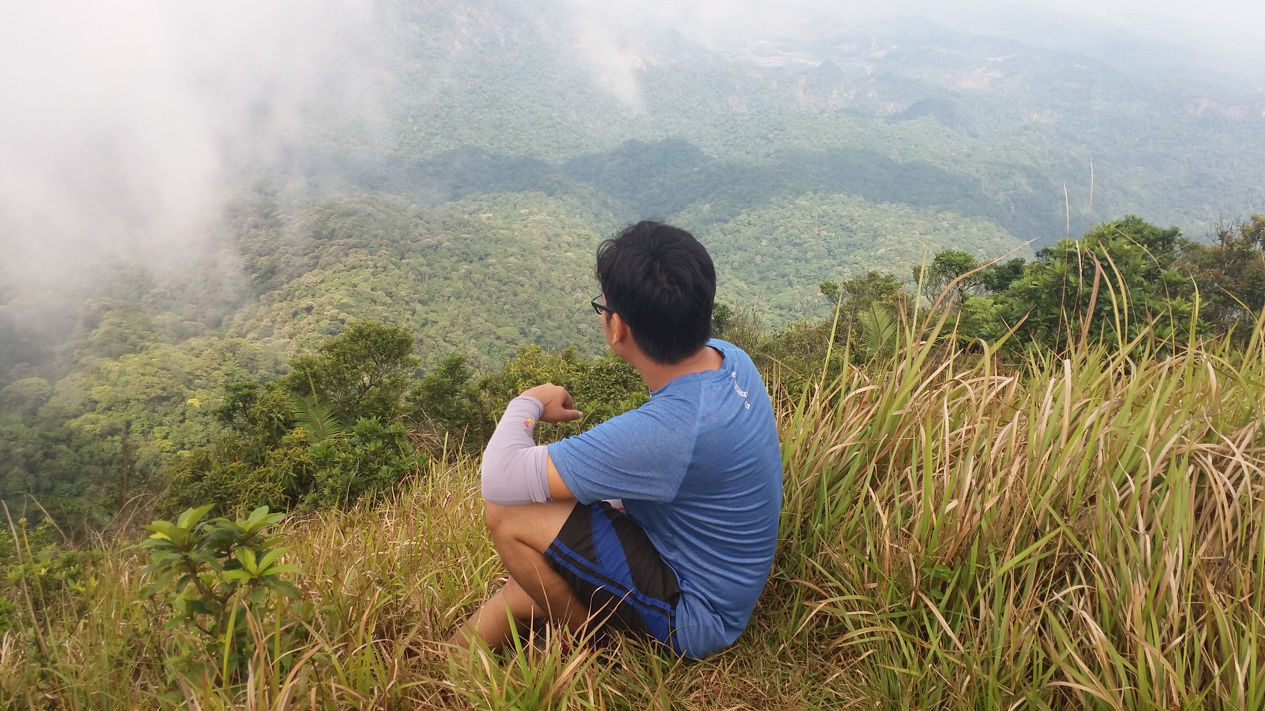
Ate Bona, Michael, and I also went to a view deck at the western part of the summit. There, we took some pictures at the edge of the slope, where a view of the lower portions of the caldera, as well as the forested crater are visible. Behind that, Morong and Subic Bay can be seen. If only we had a clear view, the surroundings would have been so much better.
We started the descent at around 9:30 in the morning. Satisfied with the limited clearing, we continued our quest to once again negotiate with the roped segments. Because the sun was now up, some clouds dissipated, and we now had a better view of the surroundings while descending the slopes. A magnificent view of the other side of the caldera can be seen during our descent in the roped segments. We reached the foot of the mountain an hour after and continued our hike towards the junction.
We were having a dilemma at that time whether we would pursue the falls or not. Since we were already tired from negotiating the technical trail and the walks we did, we were considering going straight to the jump-off point. From the junction, it would still take 2 hours going to Pasukulan Falls and another 2 hours going back. It was like doing two major hikes in one day, as our organizer said. Dahil marupok kami at gusto naming pinahihirapan ang sarili namin, of course we chose going to the falls.
We left the junction at around 11:00AM, going straight to the trail towards Pasukulan Falls. I was already starting to feel tiredness and cramps in my knees at that time due to the heat. The dryness of the air made my knees more vulnerable. It also didn’t help that the trail was a mixture of ups and downs, and was really long. Almost all of us were now panting and walking like zombies at this point. We still continued the hike, anyway.
The guide informed us that there are three river crossings before reaching the falls, the first one being the half-point of the entire hike. What confused us was that we crossed at least nine rivers en route to Pasukulan Falls, the last one leading to a very spacious campsite. Past the campsite, the trail is situated at a ravine where we can fall, heaven forbid, from both sides. It descends towards two roped segments, after which it turns rightwards. Here, you can already see the gigantic Pasukulan Falls (it was bigger than the one we saw in Napulauan!). We reached it at exactly one in the afternoon.
Ate Allen, Michael, and went straight to the side of the basin below the falls. There, Ate Allen shared her lunch with us – red rice, longganisa with butter, and fried fish. It was such a blessing to behold as I only had a McDo burger with me. I guess I underestimated the mountain by bringing a very light lunch. There, our companions swam at the basin, while some of us took the chance to rest. We also took the chance to refill our water bottles. Other locals also arrived to have a good swim.
We left the place at around two in the afternoon. A few minutes into the hike and we were already walking like zombies. Nonetheless, despite the cramps in both my knees and the tiredness we were feeling while walking, we continued our quest to reach the junction. Arriving there past four in the afternoon, I went straight towards the trail going back to the jump-off point. I did not bother to wait for the rest of the team as I was already feeling exasperated from the trail. From that point onwards, I was hiking all alone.
Despite my cramped knees, I continued the long walk towards Pinagbutasan Campsite. I reached it after thirty minutes. I considered resting there and wait for the others, but I only had a small water break and continued the hike towards the view deck. After minutes of very long walks, I was now dreading that I was getting lost in the trail. I knew it was just a straightforward path, but the length of the trail kept bugging me. Luckily, I encountered two locals going towards Mt. Natib (they had guns with them but I guess it was for hunting), and they reassured me that I was on the right path. At five in the afternoon, I emerged from the trail towards the view deck. Hallelujah.
Some locals and tourists (I think?) were asking me where I came from. It’s like they seldom see masochists… erm… mountaineers like me. A couple were also having their wedding photoshoot in the view deck, and local officials were patrolling the place. I bought some Coke to refresh my system and rested for a while. I continued the hike down afterwards.
An official actually offered to ride his trike with me but I refused, saying that I wanted to complete the whole hike. I continued my lone journey downwards towards the very wide dirt road. There, I had a view of the lowlands of Orani as well as some portions of Manila Bay that is close to Pampanga, Hagonoy, and Calumpit. To my left, gigantic mountain ranges were visible in what I can only assume as Mt. Pinatubo. A lone mountain was also present near the border of Bataan and Pampanga. At first, I was speculating that it was Mt. Arayat, or Mt. Samat if I was losing my sense of direction, but it was in fact Mt. Malasimbo.
I reached the jump-off point at six in the evening, fourteen hours after commencing the hike! There, I had a clear view of Mt. Natib from afar. Curses! Three of our companions who did not opt to go to the falls were also there. I munched on some Batangas lomi and sisig before taking my bath. The others reached the jump-off point minutes later. We left the place at around eight in the evening and reached Malolos around ten. Another hiking destination completed!
Mt. Natib may be by far, one of my most favorite Central Luzon mountain together with Mt. Arayat. The enormity of the whole mountain complex is something that amazes me. It’s one of the only few mountains that offers such a sight to see. Now that I have crossed it off my list (and I’m still willing to go back), I am now more excited to pursue some of Central Luzon’s grandest summits!
Itinerary
Day 0
10:30PM Assembly at McDo Greenfield Shaw
11:30PM Departure from Shaw
Day 1
03:00AM Arrival at Barangay Tala, Orani, Bataan
04:00AM Start hike
05:00AM Tala View Deck, rest
06:00AM Pinagbutasan Campsite, rest
06:30AM Junction
07:00AM Start assault
08:00AM Summit, rest
10:00AM Start descent
11:00AM Junction, start hike to Pasukulan Falls
01:00PM Pasukulan Falls, rest, swim
02:00PM Start hike to junction
04:00PM Junction, continue hike to jump-off
05:00PM Back at Tala View Deck, rest, refresh
05:45PM Back at jump-off point, eat and rest
08:30PM Departure from Tala
10:00PM Back at Malolos, home

Hi, Clemuel,
I’m writing an article about Pinatubo, Natib and Mariveles, and wanted to look at and possibly get your permission to use your photo of the caldera wall, but it, and several other photos don’t download. Can youn help me?
LikeLike
Hello. Sure! Where can I send you the pictures? Can I also know more details about the article that you are writing?
LikeLike
Hello Sir, thanks for this. I have a sched hike on May 13 at NATIB. Since it is the summer season, do you think limatiks are still present or will it be fewer? thank you
LikeLike
It depends. If there are clouds enveloping the summit, there are still some slim chances that limatiks will be present. If it’s entirely sunny, chances of having limatiks are low.
LikeLike