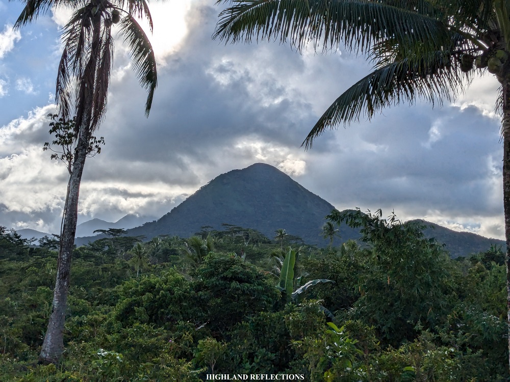
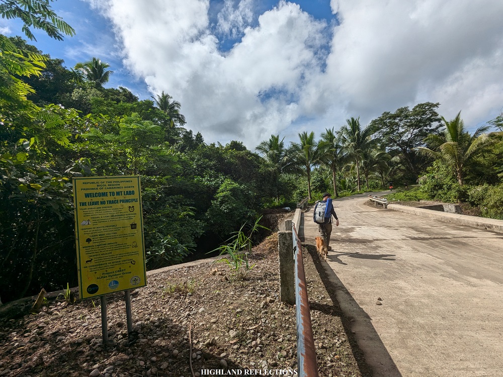
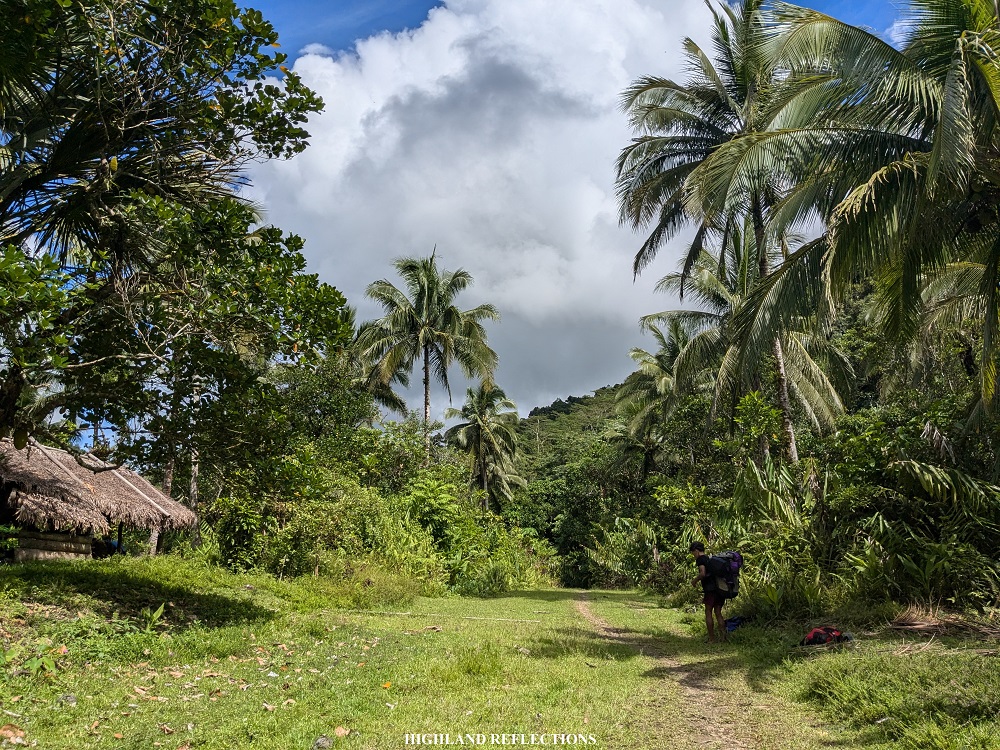
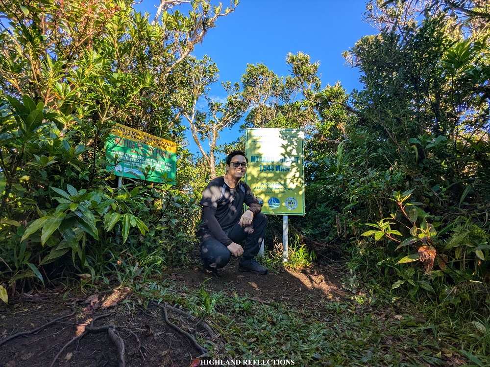
Mt. Labo is one of the most impressive mountains in Bicol Region. Situated in the province of Caramines Norte, it is a huge mountain system comprising of forested hills and several mountain domes. The centermost part of the mountain system, where Mt. Labo is located, rises to an elevation of 1,544 meters above sea level, making it the highest mountain in Camarines Norte. The trail to Mt. Labo can be reached via a 17 kilometer path starting in Barangay San Isidro in the town of San Lorenzo Luis. This trail takes hikers inside a very dense jungle teeming with a diverse set of flora and fauna which can be encountered during the hike. With the trail’s lengthy distance, the hike up and down Mt. Labo fully immerses hikers into the elements of the wilderness!

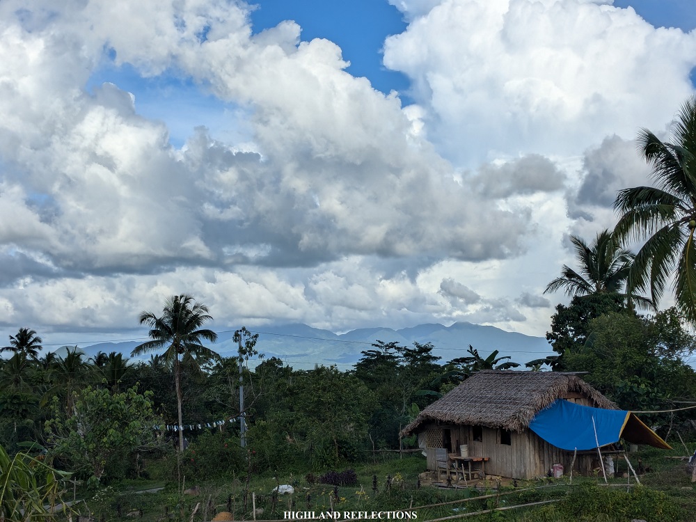
For this hike, I joined an organized event. We were able to reach the jump-off point at 7 in the morning. There, we registered at the barangay hall and met Tatay Anie (Angeles Malate), the legendary guide who knows the ins and outs of Mt. Labo like the back of his hands. Tatay Anie and the ORYOL Outdoor Group (where Tatay Anie is a member) are the ones responsible for the trail to Mt. Labo and many other trails within the mountain system, such as the traverse trail and the circuit trail to Mt. Daet, the second highest mountain in the area. The trail to Mt. Labo was a remnant of a geothermal project exploration back in 1999.
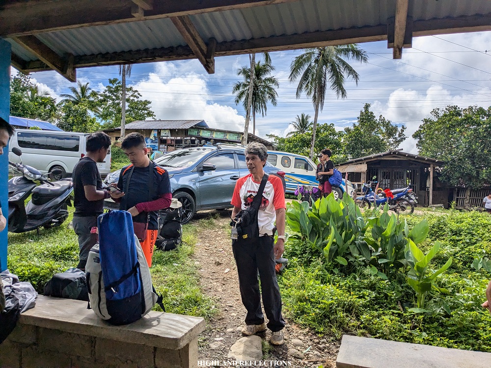
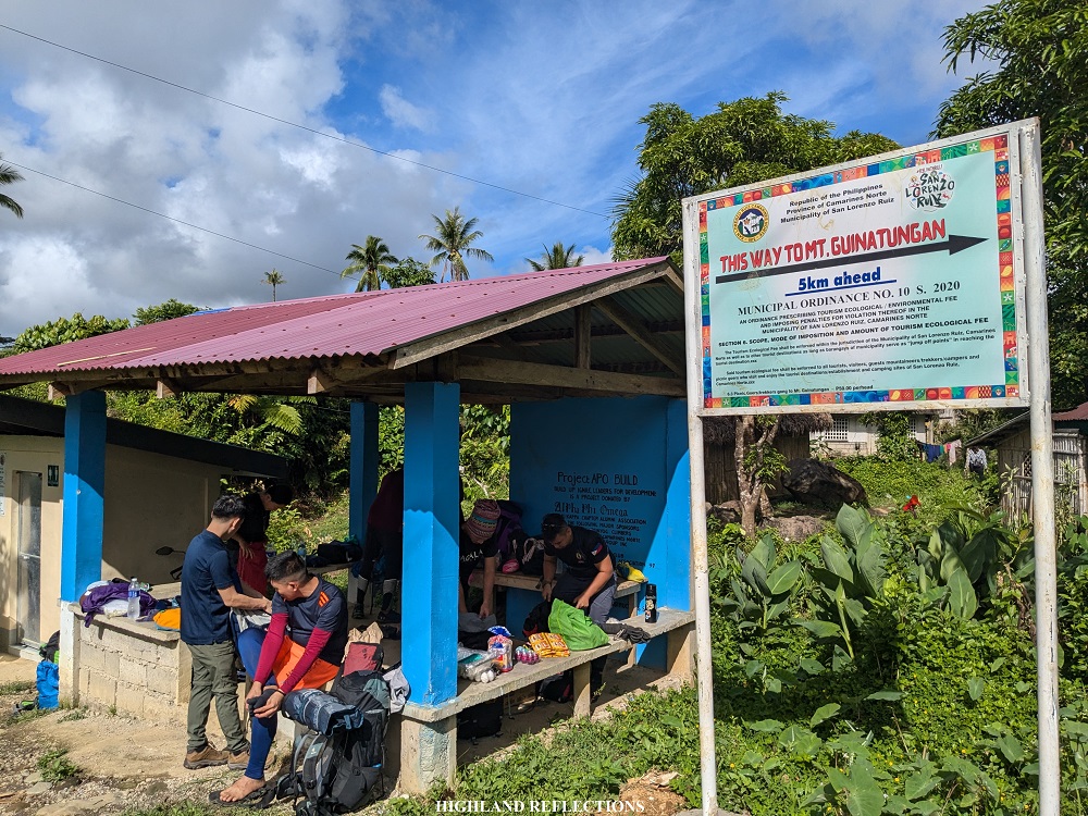
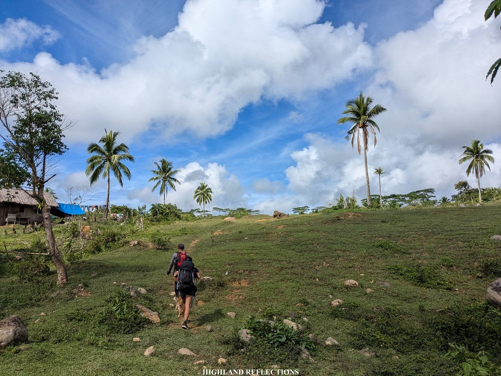
It was 9 in the morning. The hike started near Tatay Anie’s house. There, a separate trail going to Mt. Guinatungan (954+ MASL), a smaller mountain at the fringes of the Mt. Labo mountain system, is also present. According to some sources online, it is in Mt. Guinatungan where the gigantic flower, Rafflesia manillana, can be spotted (looks like I’ll be back in this area!).
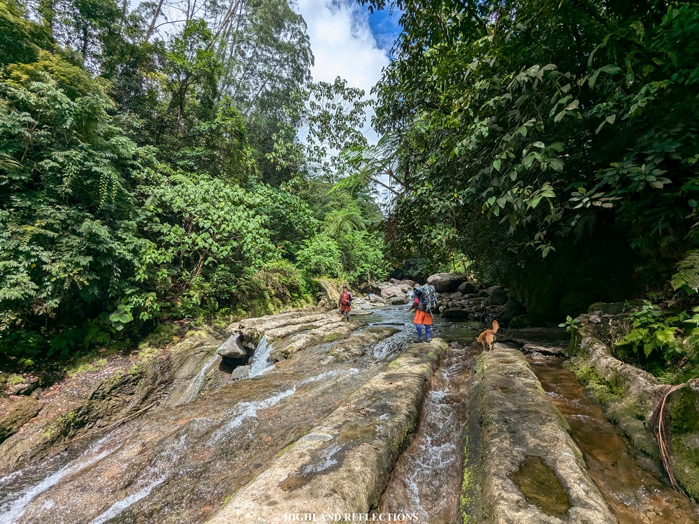
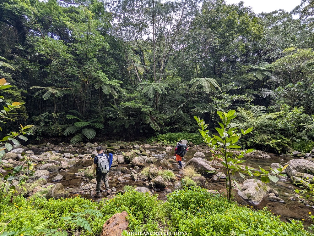
The trail’s initial parts were on a wide descending rough road that runs parallel with Mampili River. Even with the rough road, we were already immersed within the jungle of Mt. Labo. After an hour, we reached the Spillway, a dam-like structure in the middle of the forest, serving as the first of the five rivers for the hike. To cross the spillway, we needed to jump from one cemented spillway crest to another. One miscalculated jump would lead us to the gushing waters of the river!

Past the spillway is where the trail gets narrower, and can only fit a single file of hikers. Limatiks or small leeches started to make their presence felt. After less than an hour, we reached the second river for the entire trail going to the campsite. Here, we had our lunch. Some of the joiners for this trip shared their Bicol delicacies in jars, such as a well-cooked sinantolan and Bicol express. I felt grateful for their gesture!
Past the second river was another round of forest bathing into the thick jungle surrounding us. Our breaks were minimal as the trail runs on a relatively flat ground and was easy to tread on. I knew very well then that even if there are no mountains visible in our surroundings (or more appropriately, the surrounding mountains are not visible due to the thickness of the jungle), Mt. Labo is still very far from where we were! We passed by the third river, which was the smallest and driest among the five.
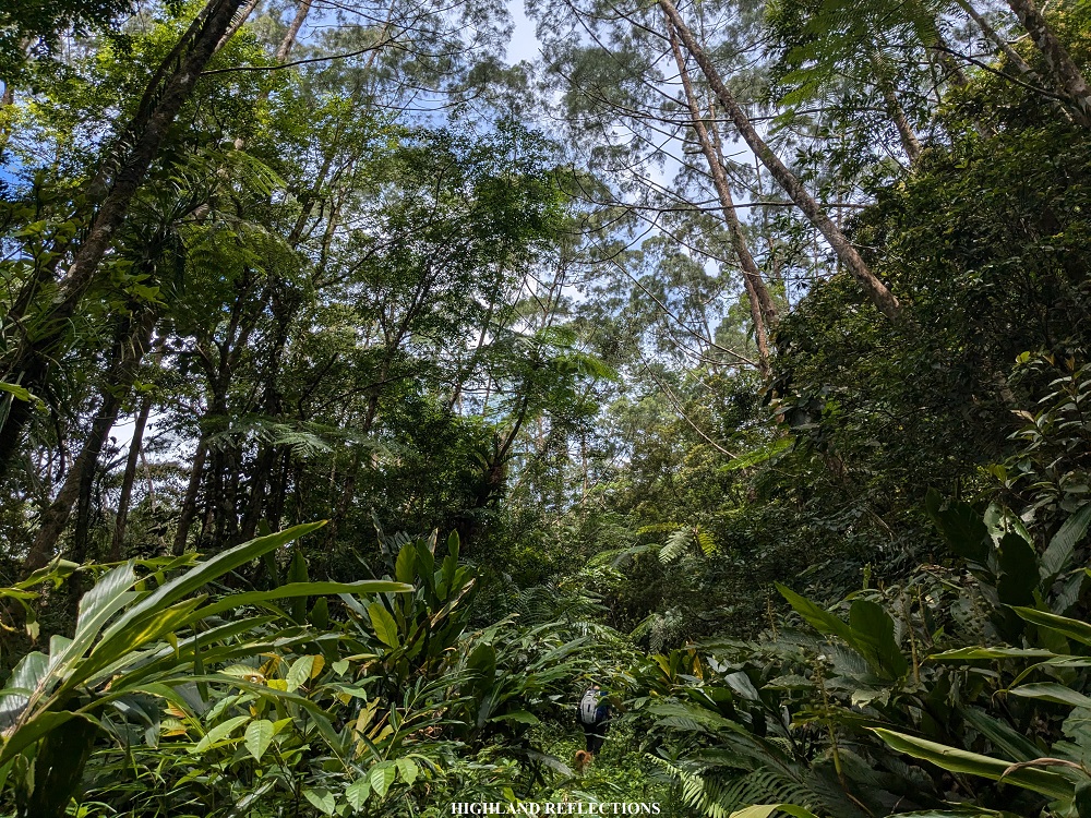
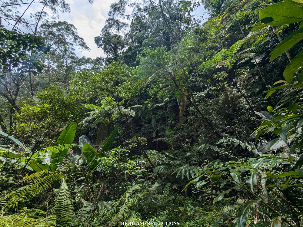
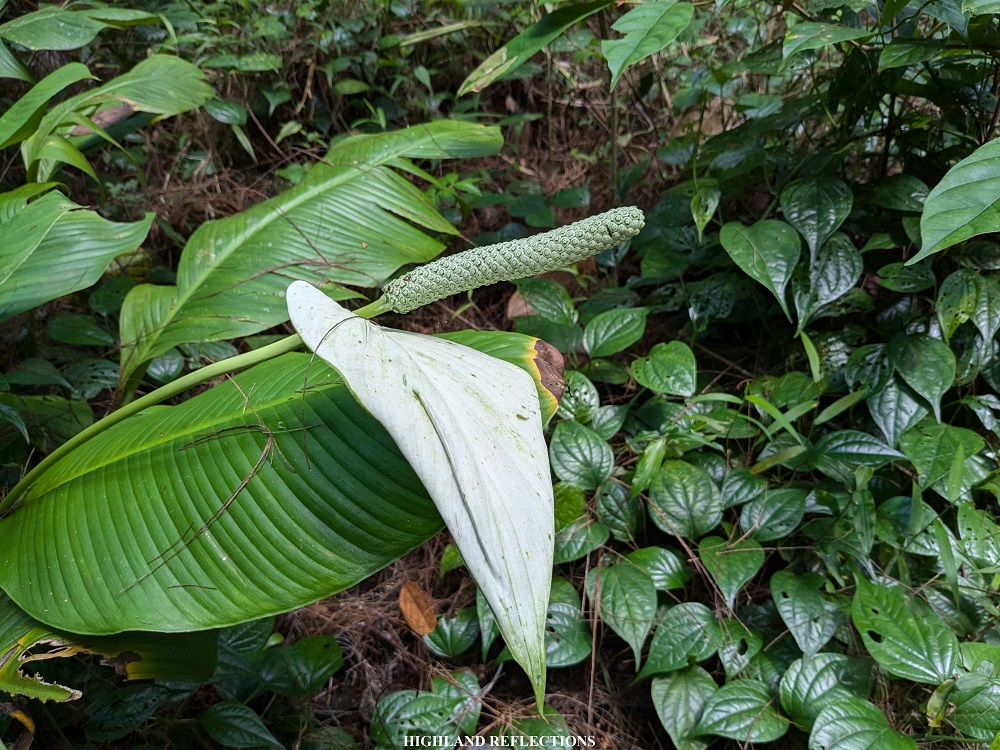
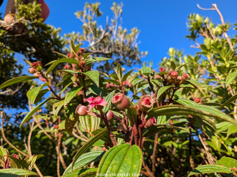
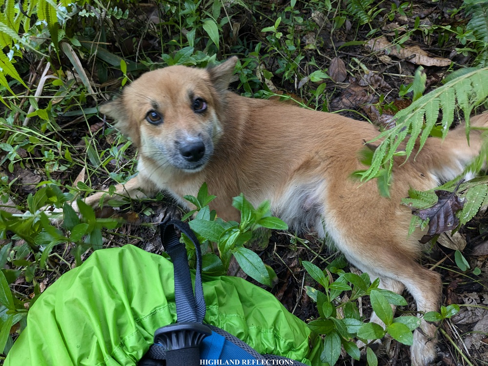
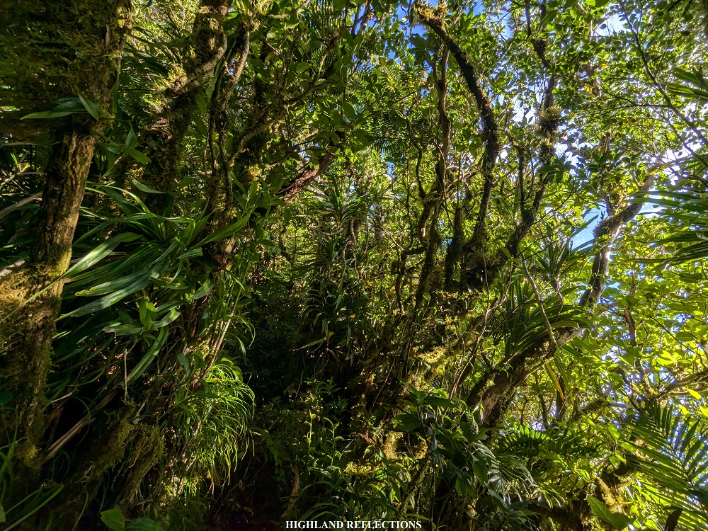
The elements of the forest of Mt. Labo were perhaps one of the most diverse that I have seen inside a forest. It was reminiscent of Mt. Makiling and Mt. Malipunyo’s jungles. Evidence of wildlife within the trail included three snakes we spotted during the entire hike; some blue, orange, and black-colored butterflies; golden orb web spiders; black and blue colored beetles, snails, honeybees (in the campsite); and, different-colored limatiks, some of which resemble those in Mt. Madjaas! Some interesting plants in the trail include gigantic white flamingo flowers (Anthurium), pitcher plants, and some blue tongues (Melastoma affine) found in the summit area.


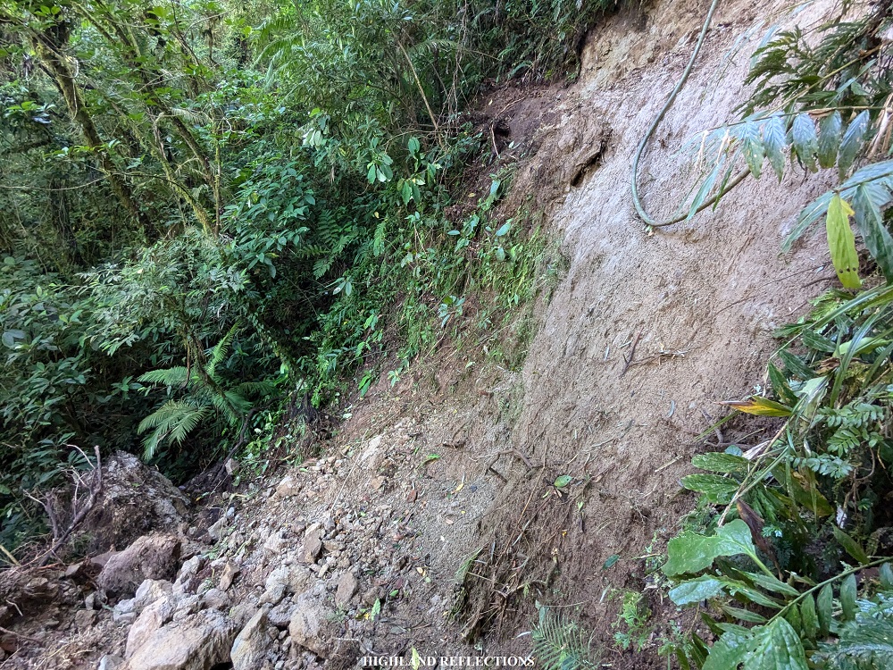
After some long minutes of walking, we reached the fourth, and shortly thereafter, the fifth river at around 12:45 noon. The rivers here required us to submerge our feet into the water, as some of the boulders were quite slippery and far from one another (some of us still tried to hop on rocks and succeeded). From the fifth river, it will only take around two hours to reach the campsite. After a short rest, we wasted no time and continued with the last push. There was some light drizzle as we continued, which made us more alert for limatiks. Prior to encountering the campsite, we needed to negotiate a very steep landslide area going down. With our collective experiences, we assisted each other going down as we did not have any ropes to assist us.
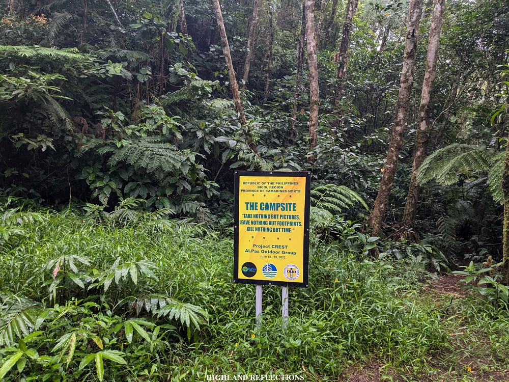
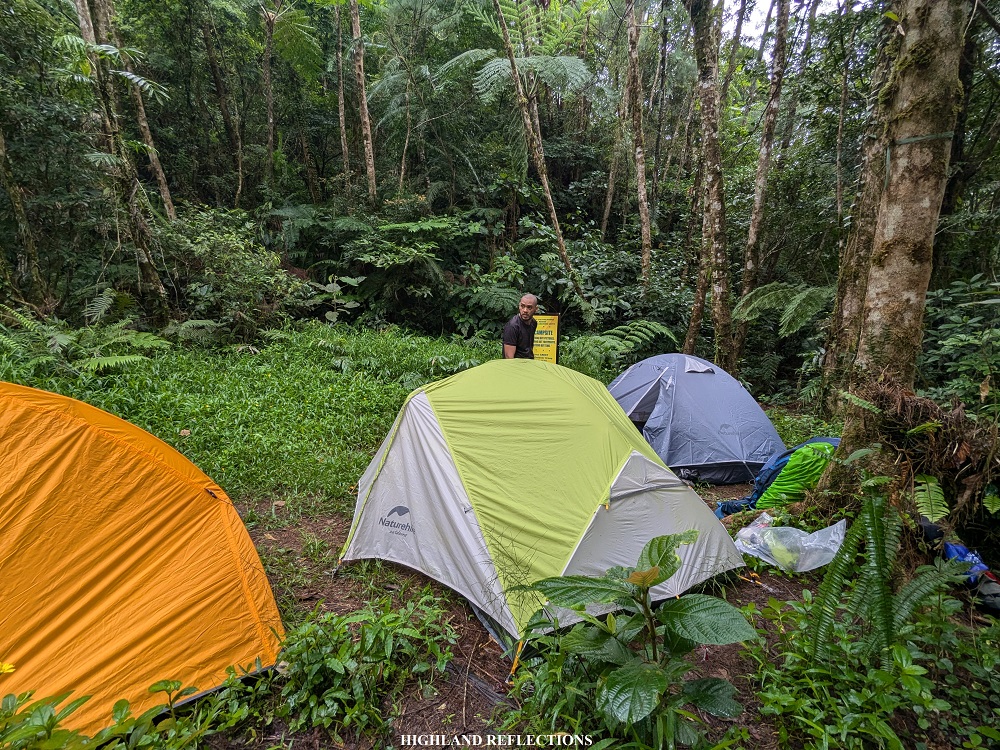
Finally, at 3 in the afternoon, after walking for 13 kilometers and gradually gaining 700 meters of elevation, we reached the campsite, which was located directly at the base of Mt. Labo! The forest here was still dense. The open area comprising the campsite was small, and can only accommodate a group of hikers.
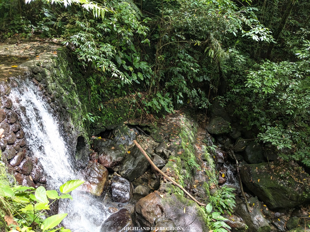
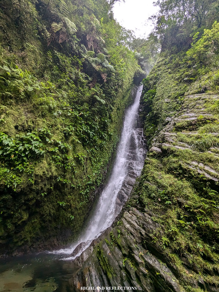
After setting up our tents, we visited Angelina Falls, located a kilometer away from the campsite. The waterfall is named after Tatay Anie himself, a female version of his name. The trail to Angelina Falls was all descent on a very thick rainforest. After fifteen minutes, we reached the vicinity of Angelina Falls. The water that gushes from the falls was quite strong. It was highly reminiscent of Mt. Natib’s Pasukulan Falls, albeit, a bit shorter. Don’t be fooled by the ‘shorter’ description though. Angelina Falls is still quite tall!
We returned to the campsite, taking us 15 minutes or more of ascent inside the forest. With the remaining sunlight in the campsite, we took the chance to rest and wait for our dinner. We called it a day and went lights out after having our much needed dinner cooked by our organizer.
The next day, we started the summit assault around 4:30 in the morning. While having our preparations, bees were attacking our headlights. Luckily, they were not in the mood to bite.
The trail starts at the same trailhead going to Angelina Falls, but this time, taking a left turn towards an all-ascending trail. To the surprise of our guides, there was another landslide just a few meters away from the campsite. We climbed this slope very carefully as the soil and rocks were still quite loose. Past the landslide is a barrage of ascents that were obviously unlike the flat trail that we took yesterday. The trail was quite reminiscent of Mt. Arayat’s upper reaches.
At the halfway point of the trail, we encountered two brooks which served as a water source. Past this was where the forest started to be filled with beautiful moss! From here, the rest of the lead team left me behind as I was trying to adjust to the ascending workout. It was quite difficult to adjust given that I was not able to do major climbs in the last three months prior to this hike!
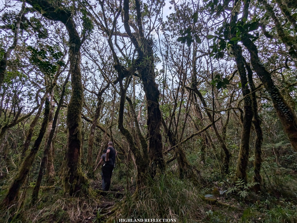
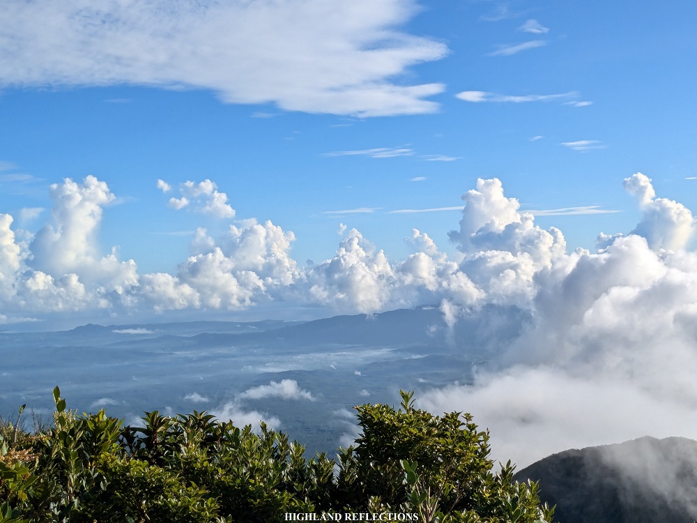
Midway from the water source and the summit, the trail ran on some mossy boulders that were quite slippery and irritating to tread on. It was reminiscent of the mossy boulders in Mt. Mandalagan’s Campuestuhan Trail. Past these boulders were some of the last rounds of steep ascents inside the mossy forest. Here, sunlight was now penetrating, illuminating the yellowish hue of moss in our surrounding. At around 6:30 in the morning, I reached the forest-cramped summit of Mt. Labo!

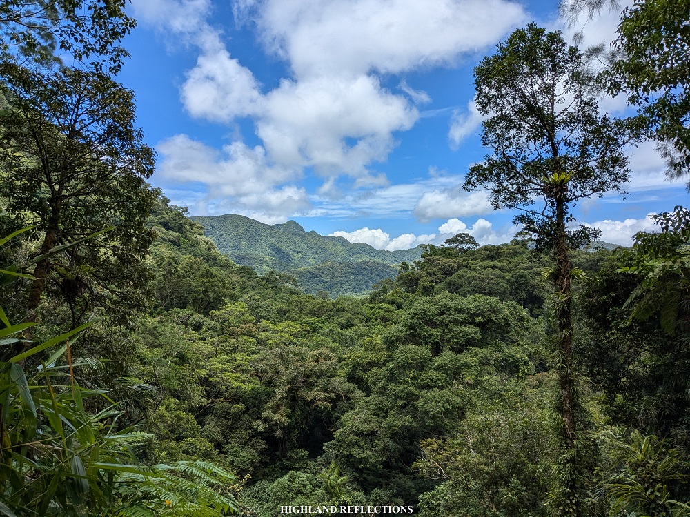
At the summit, we were blessed with some thick faraway cloudscape at the east-northeast direction, dressing the neighboring Mt. Daet. Fun fact: when looking at Mt. Labo from a bird’s eye view, Mt. Labo and Mt. Daet seem to form two peaks of a (forested) crater. This pretty much confirms that Mt. Labo was once an active volcano.

Towards east-southeast, we were able to spot the venerable Mt. Isarog, the highest mountain in Camarines Sur. Since the clouds were quite thick despite the blue sky, I could only get some faint views of Mt. Asog (also in Camarines Sur) and Mt. Mayon in Albay.
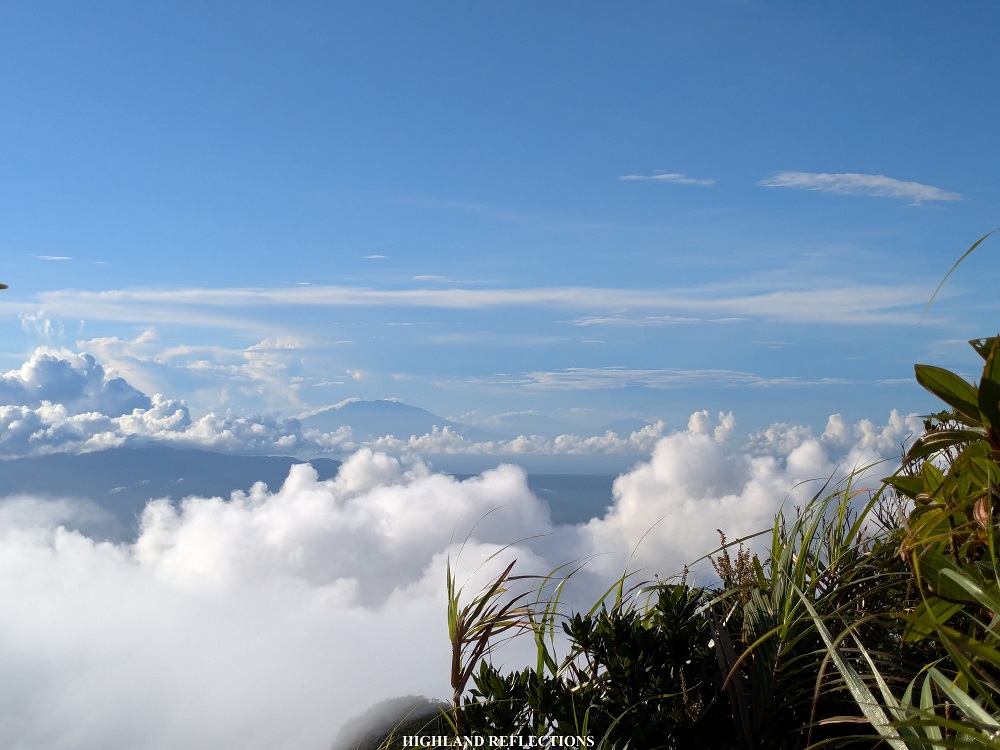
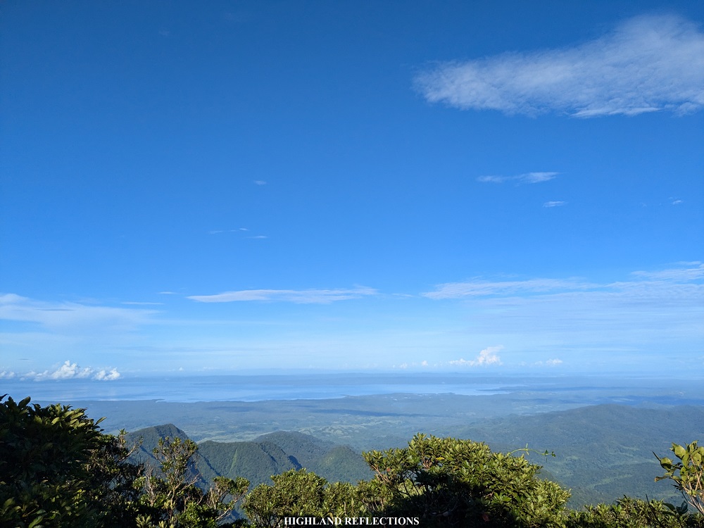
To get a view of the southern and western direction, I needed to climb a tree at the rear of the summit marker. Here, I was able to spot the rest of Camarines Norte and Ragay Gulf in the west. On a very clear day, we could have spotted Sibuyan Island’s Mt. Guiting-Guiting from afar!

After spending an hour at the summit, enjoying the views and taking some shots, we decided to go down as clouds were now enveloping the summit area. Much like the ascent, I was alone for the descent since some of my companions already advanced, while some chose to rest near the water source. Upon reaching the campsite, I had my brunch. We broke camp and started the long descent past 10 in the morning.
We backtracked the trail on a much faster pacing, reaching the river only after an hour of nonstop walk. From there, it was a very, very long and exasperating walk inside the jungle. Past twelve noon, we reached the the river before the spillway where I had a long water break and rest to eat some snacks. Afterwards, it took us another hour to reach the spillway, where some of my companions decided to have a dip. I, on the other hand, decided to cover the remaining distance alone. The four kilometer trek back to the jump-off was perhaps the most exasperating part of the hike, as it was exposed to the sun and it was ascending! Luckily, I reached the jump-off point at exactly 2 in the afternoon, four hours after starting the 13-kilometer hike from the campsite!
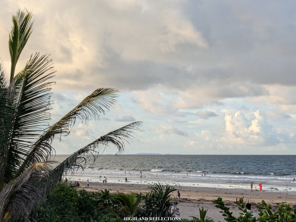
The rest of the team followed. We departed past four in the afternoon to go to Bagasbas Beach in Daet to wash-up. There, I was able to spot the popular Calaguas Island as well as Canimog Island in Mercedes. Afterwards, we had our celebratory dinner in the town of Labo, still in Camarines Norte before the long ride going home. We reached Quezon City at around 3 in the morning.
And that concludes my hike up to Mt. Labo! My second hike in Bicol Region proved to be enjoyable. The long hours of immersion in the jungle was an incredible experience. Its thickness is quite a feat, as only a few mountains have retained such primordial features. The sunny weather at the summit and the thick puffs of clouds was also bonus treat, as this mountain is more often covered in thick fog all throughout the year! It was such a fulfilling experience given that I wasn’t able to get a clear view for my first Bicol mountain (Mt. Bulusan in Sorsogon) due to strong winds and thick fog at the crater during my hike a year prior.
I will surely go back to try some of the major mountains of Bicol, such as those in Camarines Sur, Albay, and Sorsogon. While such mountains have long been a goal of mine, I was able to discover and spot some of Camarines Norte’s impressive roster of mountains from Mt. Labo! In the mountain system of Mt. Labo itself, there are other trails that can be explored such as the traverse trail to the town of Labo. Tatay Anie also cites a circuit trail that connects Mt. Labo to Mt. Daet. Another trail, of course, is found in the aforementioned Mt. Guinatungan, which is nearer the jump-off point in San Isidro compared to Mt. Labo.
Besides the Mt. Labo mountain system, four other mountains surround the province of Camarines Norte. While Mt. Labo is at the center, three others stand at the peripheries of the province. Second to Mt. Labo is Mt. Balagbag/Mt. Colasi (997+ MASL) in Mercedes, known to some Bicol mountaineers as the Sleeping Giant. In the town of Labo is Mt. Bagacay (778+ MASL), known for its pointed Susong Dalaga peak. Perhaps the least popular of the Camarines Norte mountains is Mt. Cadig (695+ MASL), still in the town of Labo. All three of these are promising destinations for serious hikers and peak baggers outside of the region!
I cannot wait to go back!
Itinerary
Day 1
06:30AM Daet, breakfast
07:30AM San Isidro, San Lorenzo Luis, register at the barangay hall
08:00AM Tatay Anie’s house, prepare
09:00AM Start hike
10:00AM Spillway
11:00AM Second river, lunch
01:00AM Fifth river
03:00PM Campsite
04:00PM Side trip to Angelina Falls
05:00PM Back in campsite
07:00PM Dinner
08:00PM Lights out
Day 2
03:30AM Wake-up call, prepare for assault
04:30AM Start of summit assault
05:30AM Water source
06:30AM Summit, take pictures
07:30AM Start descent
09:00AM Back at the camp, breakfast, break camp
10:00AM Start descent
11:00AM Fifth river
01:00PM Spillway
02:00PM Back at the jump-off point
05:00PM Bagasbas Beach, wash-up
07:00AM Dinner in Labo
