Last 21st of November, 2021, I was finally able to do one of my dream climbs, a hike up to Mt. Tapulao, the highest peak in the entire Central Luzon. I’ve always been highly curious about this mountain. Back then when I was a teenager, I’ve read accounts of hikers telling tales about how they get exasperated with the nonstop rocky trail and at the same time be amazed with the pine trees at the top of the mountain. Even as an adult, I’ve often heard narratives from fellow hikers who have tried and bested this mountain. Envious of their stories and curious about what lies on the trails of the Central Luzon mountain, I finally had the chance to do it in 2021, despite being in a pandemic period.
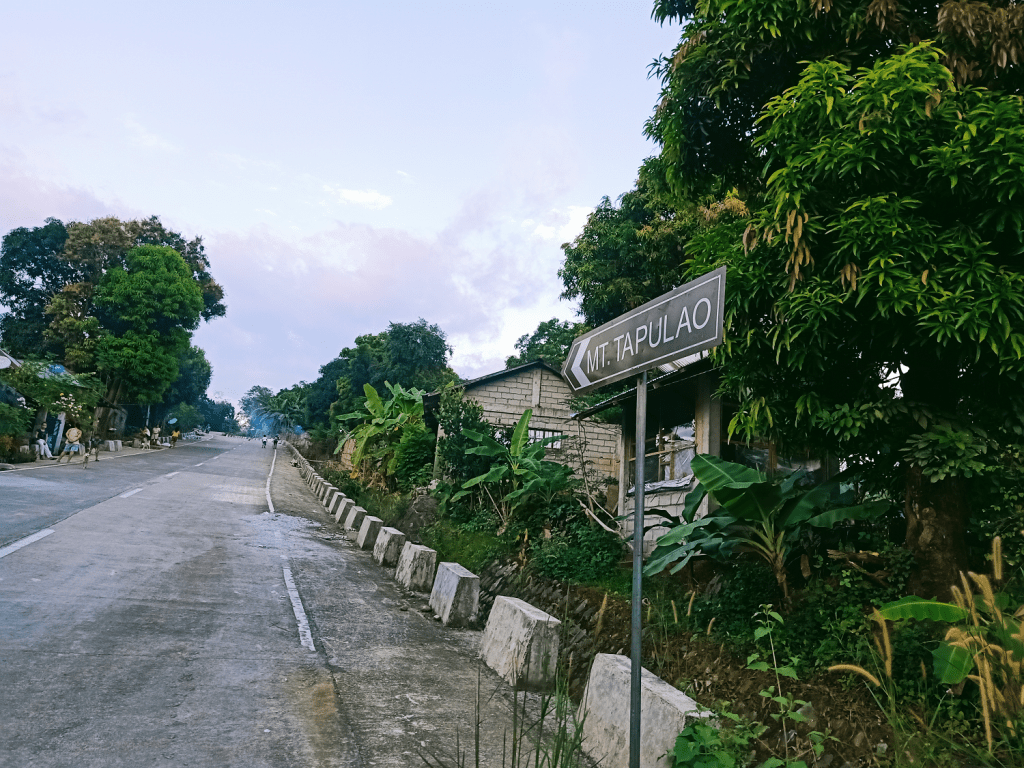
Mt. Tapulao is located in the quiet town of Palauig, Zambales. The mountain is nestled within the Zambales Mountain Range that stretches from Pangasinan down to Pampanga where it meets Mt. Pinatubo and the rest of the Cabusilan Mountain Range. The Zambales Mountain Range also spills over on the western side of Tarlac where infamous mountains such as Mt. Damas (which I hiked in December 2019), Mt. Semilya, Mt. Bungkol Baka, Mt. Tangisan, and Mt. Kawayan are located.
The hike to Mt. Tapulao from Palauig, Zambales is notorious for its 18-kilometer trail. At least 85% of the trail is on a wide dirt road dotted with rocks and boulders all over. Historical accounts claim that Mt. Tapulao used to be a mining site for chromite, and the trail that is being used today are remnants of the dirt road bulldozed by mining engines and vehicles. In fact, in the campsite located in Kilometer-16, one may find stacks of chromite on the side of the trail.

Moreoever, Mt. Tapulao is also known for having one of the highest elevation gains in the country. The jump-off point is located near sea level, hence, the elevation gain is the same with the peak’s elevation itself (2,000+ MASL), making this the perfect training ground for those wanting to try out extremely difficult mountains in the country.
Mt. Tapulao can also be accessed via the trail in Brgy. Labney in Mayantoc, Tarlac. This hike, which is on the opposite side of the Palauig trail, is much, much longer, and involves river trekking and crossing the grassy slopes en route to Zambales River.
On To The Hike
We arrived in Palauig, Zambales a little bit late at around 4 in the morning. Upon arriving, we hurriedly readied our day packs and registered our QR codes to the tourism officer assigned in the area. We also had a very quick orientation. Our guides informed us that the cutoff time to reach the campsite would be at 10am, as reaching the campsite at a later time would increase the chance of returning to the jump-off point at nighttime. Hence, we needed to regulate our pacing for this hike. Afterwards, we climbed aboard our van once again.
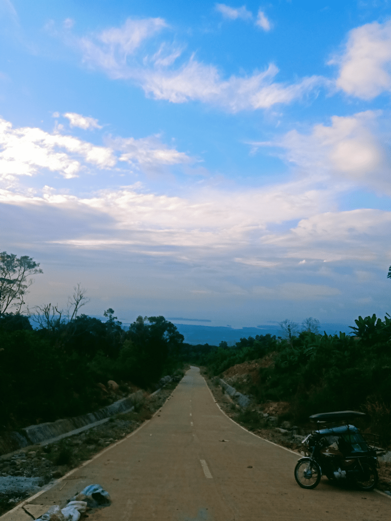
Years ago, the hike to Mt. Tapulao started just a few blocks away from the tourism office in the sitio. This starting point is marked as KM0. Today, the wide dirt road starting from KM0 up until KM3 is now cemented. Hence, hikers can now opt to start at the unpaved road in KM3, and that’s exactly what we did. Our van dropped us off near where the road ends and the dirt road starts. We covered almost 500 meters of elevation, making the elevation gain for this hike only at 1,500+ MASL.
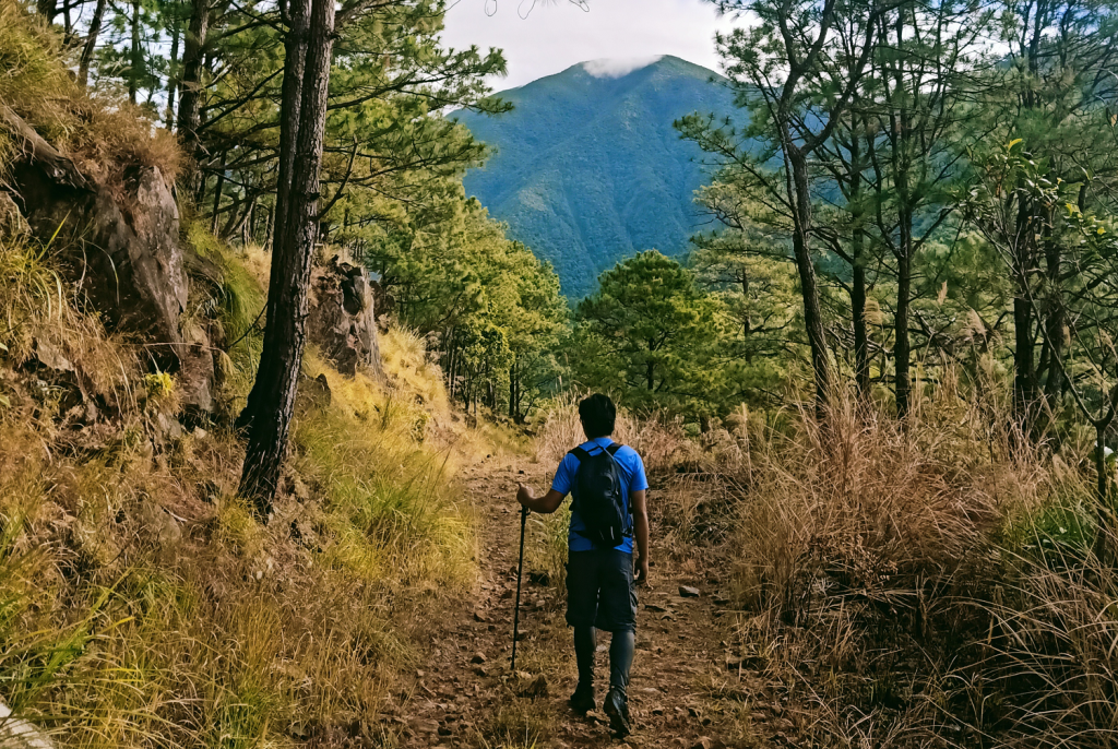
We commenced marching at the dirt road in KM 3 at around 4:30 in the morning, a bit late than most itineraries would suggest. We were immediately met with rocks scattered along the trail. In the horizon, we could see silhouettes of Mt. Tapulao and the higher mountains that we would be entering later on. Above was the clear dark sky, waiting to be illuminated by the mighty sun. After an hour, we reached a sari-sari store at the side of the trail, marked as KM5. We had our first rest here.
The trail past the sari-sari store continued to be on an exposed rocky road with grassy slopes by the side. The surrounding then transformed from a wide grassy plateau into a dense forest. The trail also changed from a wide rocky dirt road into a narrower footpath. That was probably the most unexpected part of the hike for me since I’ve always thought that the trail was highly akin to Mt. Balagbag’s wide grassy slopes. We passed by KM8’s marker at this area.
The trail following KM8 returned to the usual wide, rocky footpath that Tapulao is known for. This trail stretches for maybe a hundred meters or so, until ending on a flat narrower footpath again. I took a five-minute rest here upon seeing the next part of the trail – a constantly ascending boulder path. It’s not even a dirt road anymore. The whole path was made up of large boulders!
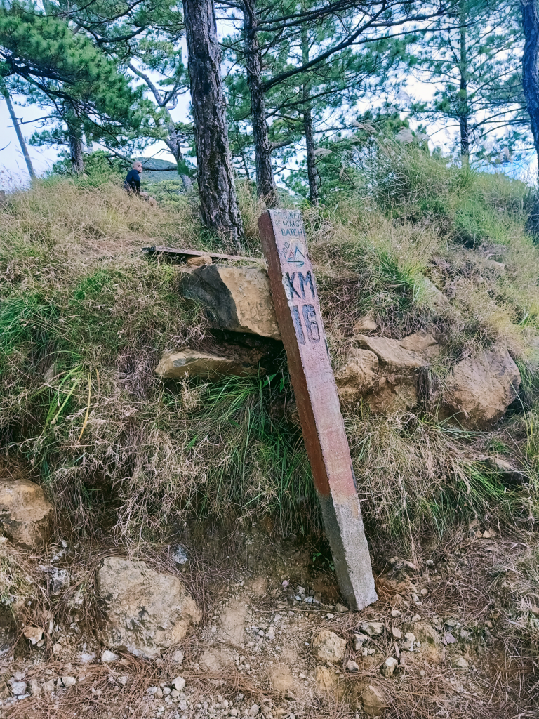
Saying all of the mantras that I knew of to toughen up my self, I took the challenge of ascending those large boulders. The path that it makes zigzags from left to right until reaching KM10, where a water source is located. This water source is at the right side of the trail where one needs to go up. At the top of the slope lies the water source and what seems to be a small area where vegetables are planted. On the opposite side of the water source is a view of the mountain slopes that comprise Mt. Tapulao. I munched on my trail snacks there.
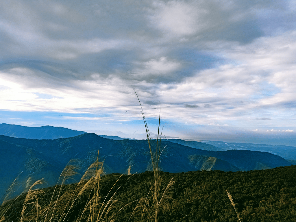
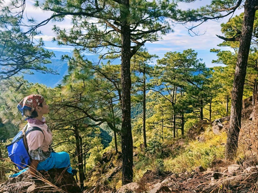
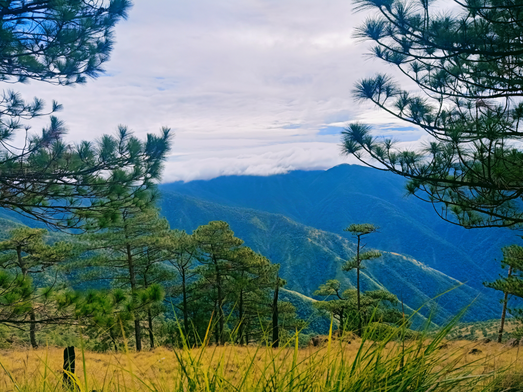
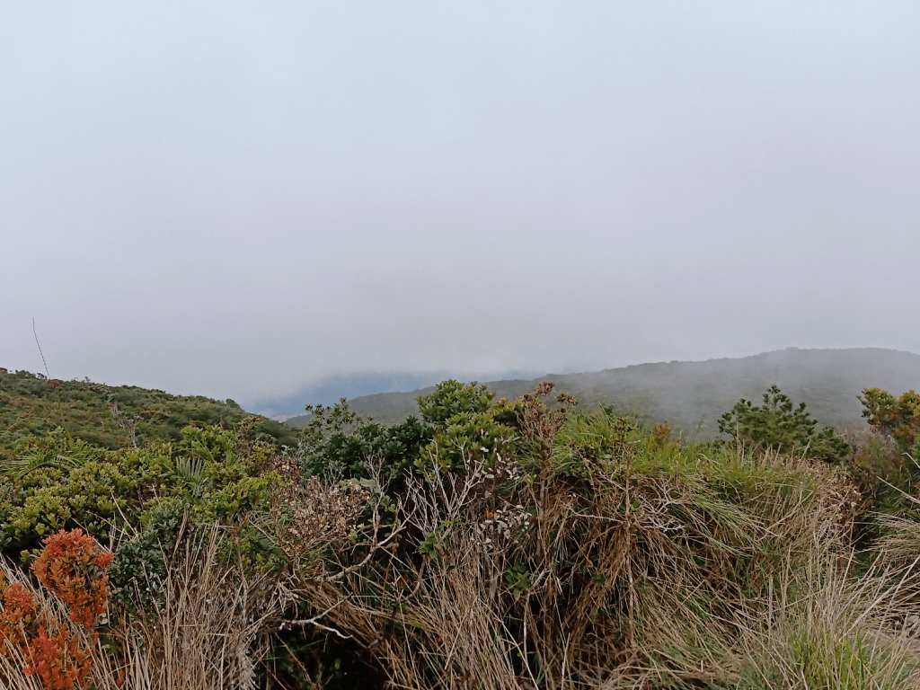
After that much needed carbo refill, I continued with the hike onto the never ending boulder-filled dirt road. A few meters away from the water source, we encountered a forked trail. We took the off-trail to the right since the original trail was said to have a dangerous landslide portion that is inadvisable to pass through. The off-trail then emerges with the original trail past the landslide. From there, I expedited my pace and left my companions. After covering a significant distance past KM10, I was able to regroup with the second to the lead group near the dirt road where the first sight of pine trees are encountered. We rested at the side of the trail where a view of the West Philippine Sea can be seen, as well as the mountain slopes of the neighboring Sawtooth Mountain.
Continuing the hike, we marched on the trail dotted with pine trees and reddish brown soil, making me reminisce our Cordillera pursuits. To our front, we can see Mt. Tapulao’s uppermost slope from a distance, as if it was welcoming and waiting for us to go to her. This short pine tree section concludes on a descending trail which ends on a short flat trail filled with tall grasses and emerges onto another series of boulder path ascent.
Umay. This was the exact word that we were shouting as we slowly took the long, long rocky path. This was sprinkled with a little put*ngina and lots of of sighs. After passing by the KM14 marker and covering some distance, we decided to just sit, take a rest, reset our minds, and feed our distressed stomachs.
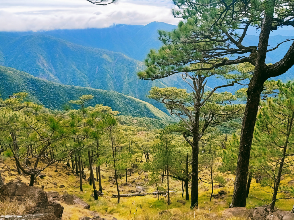
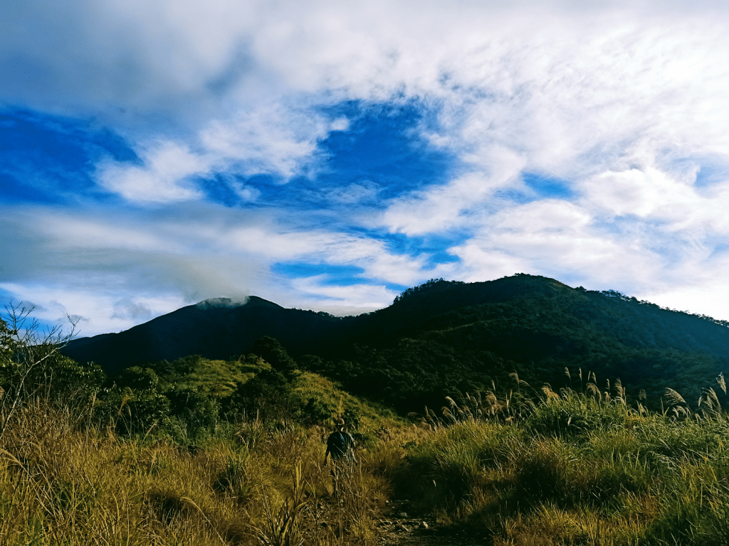
After that much needed rest, we continued with the last push to KM16. Since pine trees were now present on the upper slopes on the left side of the trail, I reckoned that we were near the campsite. True enough, the steepness of the trail dissipated and we were now taking a flat dirt road. As we covered more distance, pine trees became more evident. To our right, we could see the spine-like neighboring mountain range of Sawtooth Mountain (Mt. Sutot) nearby. We reached the campsite area at around 9:30 in the morning, 4 hours after starting the hike! Finally!

We rested at the campsite for an entire hour. Most of our companions took the chance to take their early lunch and sleep, while I chose to ruminate and observe my surrounding. I was trying to feel the pine filled air around me. Past 10:30 in the morning, we decided to push through with the final assault.
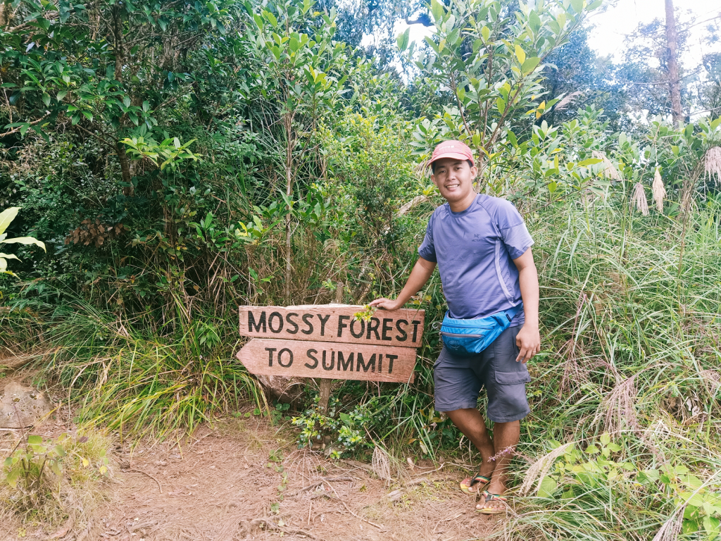

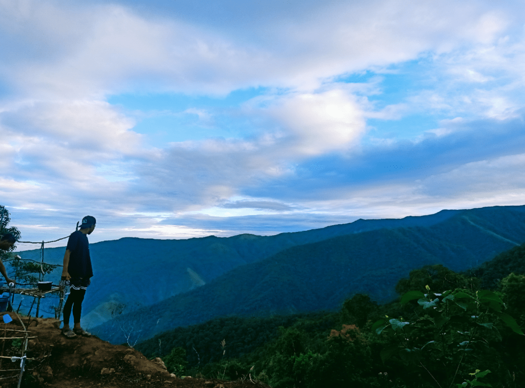
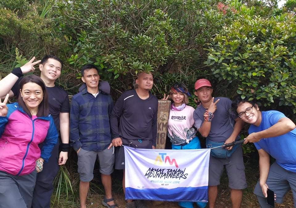
The hike from KM16 starts at a constantly ascending pine tree slope that ends on a signboard marking the entrance to the mossy forest. The trail here is fairly established, reminiscent with of Mt. Purgatory, but not as grand as the Cordillera mountain nor with other mountains in the region. The ascent was kind to the legs since it wasn’t as steep as expected. After 30 minutes, we exited the mossy forest and found ourselves in front of the KM18 summit marker. Mt. Tapulao: conquered!
The summit area is a small cleared space surrounded by small trees. To the left of the summit marker is what they call the “world tree” which was already slanted due to numerous hikers’ attempts to climb it. On the opposite side of the world tree is an open space a bit higher than the summit marker’s area, making it possibly the “true” summit of Tapulao.
I let out a sigh of relief. I was mildly overwhelmed with the thought of finally summitting one of my dream climbs, and I did so after numerous cancelled attempts prior to this climb.
I decided to return to the campsite alone since I needed to take my lunch, while the others were still snapping some photos at the summit marker. Upon returning to the campsite, I immediately munched on my rice meal and waited for my companions from the summit to arrive. The temperature at the campsite, despite being at noon, dropped. The wind that was blowing around the campsite had a chilling effect to it. Lamig!

At around 12:45PM, we started the long descent backtrailing to the jump-off point. Most of my companions expedited their paces, while I took the time to adjust to the downward slope. At around KM11 (the first pine tree area), I had a mild headache due to the sudden temperature drop not just in the campsite but around the trail as well. I rested on the junction at KM10. My companions at that time said I was letting out steam on my body. Well, that’s what I get for not taking a rest for almost 6km!
After that much needed rest, I expedited my pace and descended the large boulders around KM10 to KM8, leaving my companions behind. Around KM8, I was able to regroup with the second to the lead group again. The four of us continued the descent and reached the store at KM5 at around 3:30 in the afternoon where we found tourists staying at the makeshift wooden houses at the side of the trail. We continued with the descent while exchanging stories to mask the exasperation in our faces.
At 4 in the afternoon, three hours after starting the descent from KM16, we reached the start of the cemented road at KM3. From here, one can opt to take a tricycle to the jump-off point, and that’s exactly what some of our companions did. But not me! Since I wanted to finish the entire hike by foot, I decided to go ahead and descend the cemented road alone, leaving my three companions behind who also decided to finish the descent by foot a bit later.
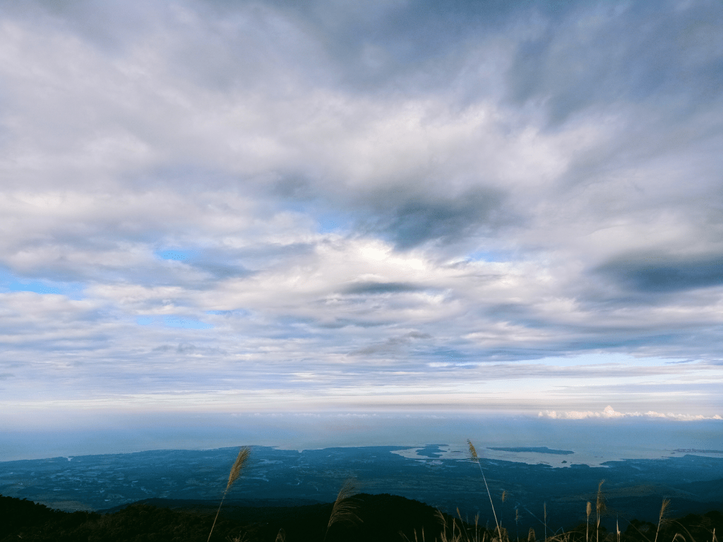
There were no regrets with my decision to walk on the cemented road. I got to appreciate the setting sun as it meets the waters of the West Philippine Sea in the horizon. Iba, Palauig, and Masinloc’s shoreline could also be seen from the cemented road. This long walk reminded me of the many cemented roads that I took on the way down such as those in Mt. Natib, Mt. Palali, Mt. Purgatory, Mt. Makiling, among others. The difference was, my knees were more resilient with this hike down in Tapulao since my last two hikes have been extremely difficult. To lessen the boredom of walking alone, I decided to blast some music from my phone (thanks, TWICE). Along the way, I was able to greet bikers, drivers, and locals living on the side of the road.
I was able to reach KM0 and the tourism office past five in the afternoon, an hour after starting from KM3. I rested my body for a short while before taking a bath. Then, I decided to eat dinner in one of the houses that served our paid meals. Upon returning to the van, I exchanged stories with some of my companions while waiting for the other joiners who were still on the trail.
The climb to Tapulao was long overdue, but the long wait was worth it! Although an overnight hike would be better to fully enjoy the presence of pine trees on the top portions of Tapulao, completing the challenging dayhike was such a fulfilling achievement! Besides an overnight climb, I’m hoping that I get to experience the longer hike on the other side coming from Labney in Tarlac.
Thank you for finally welcoming me, Tapulao!
Itinerary
Day 0
09:00PM Meet-up
Day 1
03:30AM Jump-off in Palauig, Zambales
04:30AM KM 3, start hike
05:30AM KM5, sari-sari store
07:00AM KM10, water source
07:30AM KM11-12, first pine trees
08:50AM KM14
09:30AM KM16, campsite
10:30AM Start final assault to summit
11:00AM KM18, summit
11:30AM Return to campsite
01:00PM Start descent
03:30PM KM5, sari-sari store
04:00PM KM3, take trike or walk
05:00PM Jump-off, rest, wash-up, and eat
08:00PM ETD to Manila
11:59PM home!
Note: Before being able to hike Mt. Tapulao, we were required to register in the Visita Zambales website as part of the province’s tourism pandemic protocol. We were asked to provide the essential information such as vaccination cards and health status (via a health declaration form in the website). The tourism officer in Palauig verified these requirements and then gave us a QR code that we showed to a checkpoint in Subic, Zambales and in the jump-off point of Mt. Tapulao.
