After coming from a Tanauan-Magsaysay Traverse via Kagsa River last 20th of June, and failing to summit the five Magsaysay Peaks (my blog for that hike can be found here), I decided to return a week after, on the 27th of June, itching for a revenge climb. This time, Mac Wilson of Mudman Trekker, the caretaker ang primary guide of the Magsaysay Mountains, brought us to a closer jump-off point located at Barangay Tagumpay in Real, Quezon. The hike, unlike our 12-hour failed pursuit last week, only took us more than 8 hours to complete, with many stopovers and resting time along the way! I was also able to summit the five peaks of the three Magsaysay Mountains in the following order:
Mt. Susong Dalaga
-Peak 2: 1,098+ MASL
-Peak 1: 1,095+ MASL)
Mt. Palokong Simbahan
Peak 2: 1,034+ MASL
Peak 1: 1,015+ MASL
Mt. Binangonan (842+ MASL).
The Magsaysay Mountains are located in the borders of Real and Infanta, Quezon. Although it is directly accessible from Marilaque Highway, the barangay that has jurisdiction in that part of the highway does not permit hikers to climb the Magsaysay Mountains. Because of this, Mac explored possible paths at the rear of the mountain range. As of this writing, he has unlocked two possible entry points in Real, Quezon: the shorter route coming from Barangay Tagumpay, and the longer and extremely difficult route coming from Barangay Tanauan (which we took last week). Both routes would traverse the three mountains in the following order: Susong Dalaga, Palokong Simbahan, and Binangonan. This was unlike the traditional route that previous hikers would take which was in reverse: Binangonan, Palokong Simbahan, and then Susong Dalaga.
Here are some basic information about the hike based on my observation:
Jump-off point: Barangay Hall of Brgy. Tagumpay, Real, Quezon (Coordinates: 14.606704, 121.583990)
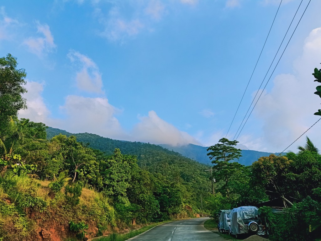
Exit point: Marilaque Highway, Real, Quezon (Coordinates: 14.669636, 121.550529)
Highest elevation: 1,098+ MASL (Mt. Susong Dalaga)
Estimated trail distance: 15-17km (STRAVA recorded)
Specs: Major climb, difficulty 5/9
Trail class: 1-3
Days required / Hours to Highest Elevation: 1 day / 4-5 hours
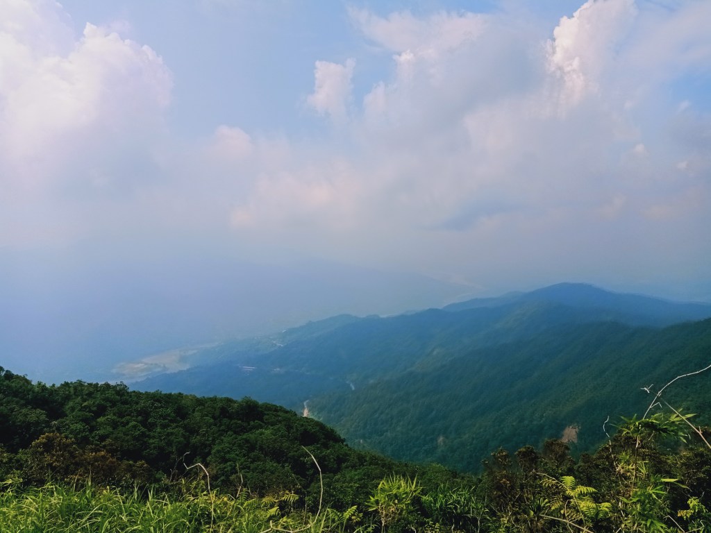
Features: Mossy forest, encounters with wild flora and fauna, view of Lamon Bay, Pacific Ocean, and the Sierra Madre Mountain Range
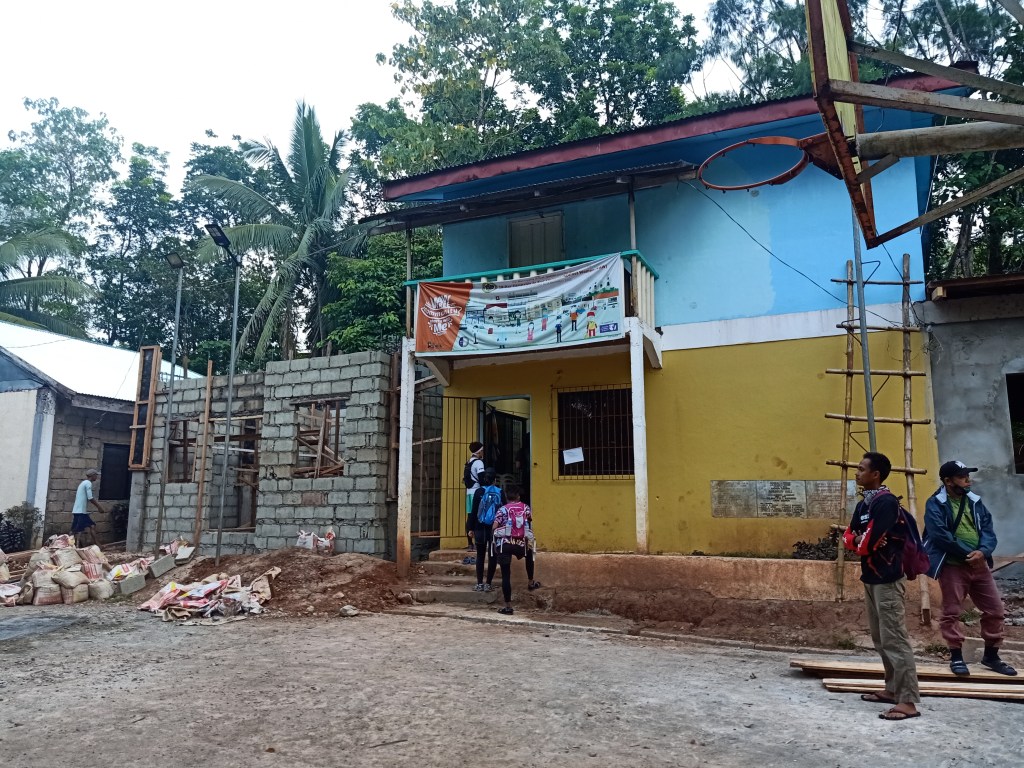
After coming from Mac’s house and spending the night there, we went to the barangay hall of Brgy. Tagumpay, which can be found in the upper slopes after turning left from the coastal road going to Infanta. Mac said that previous hikers started the hike from the coastal road which took them all morning to reach the barangay hall. Luckily, he requested our van driver to take us directly to the barangay hall.
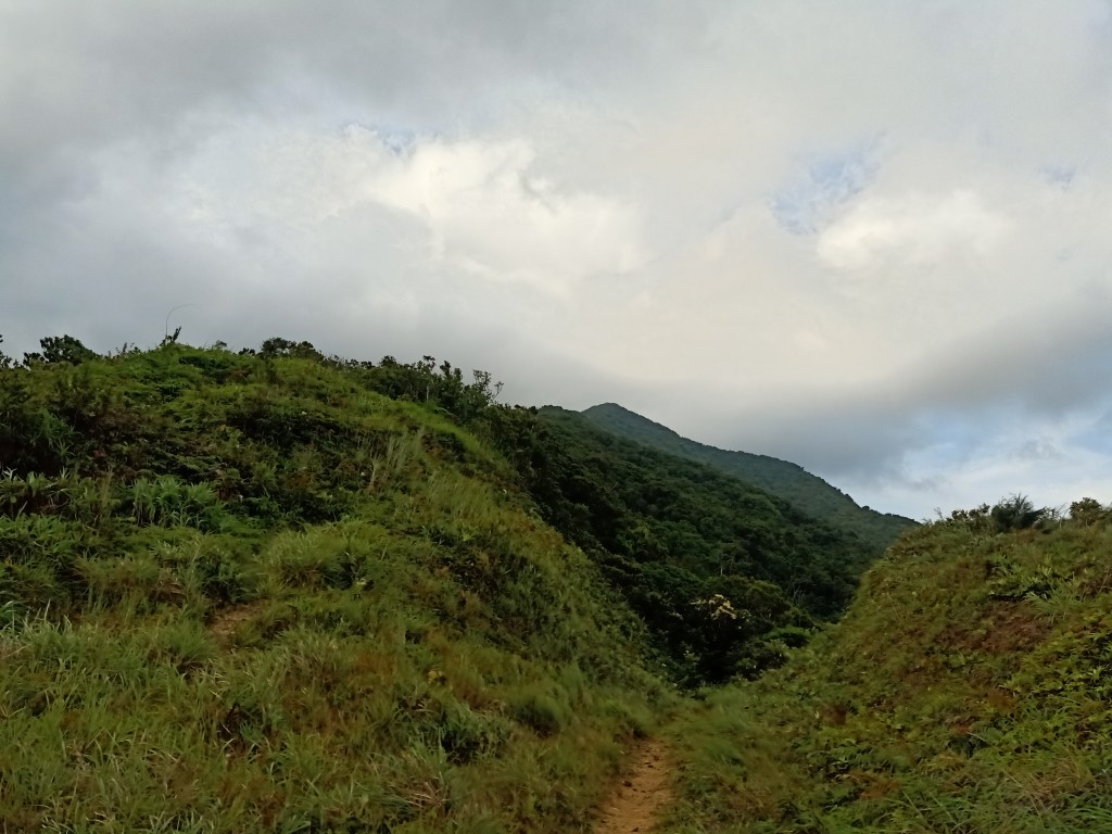
We started the hike at exactly 06:00AM. After registering our names, we took a constantly ascending path starting at the side of the barangay hall. This stretches for a few kilometers, and is filled with ferns, cogon grasses, shrubs, and short trees. After an hour, the trail converges with the latter portions of the trail that we took last week coming from Barangay Tanauan. This part of the trail took us six hours to reach last week!
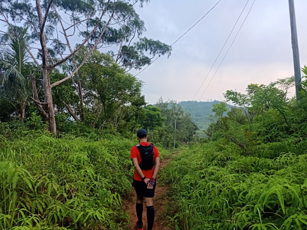
We expedited our pace as we entered the rain forest part of the trail. Although I was lagging behind Mac and another hiker, I made sure to cover as much distance as possible to reach the ambush area – the junction that serves either as an exit point or as a gateway to the Magsaysay Mountains.
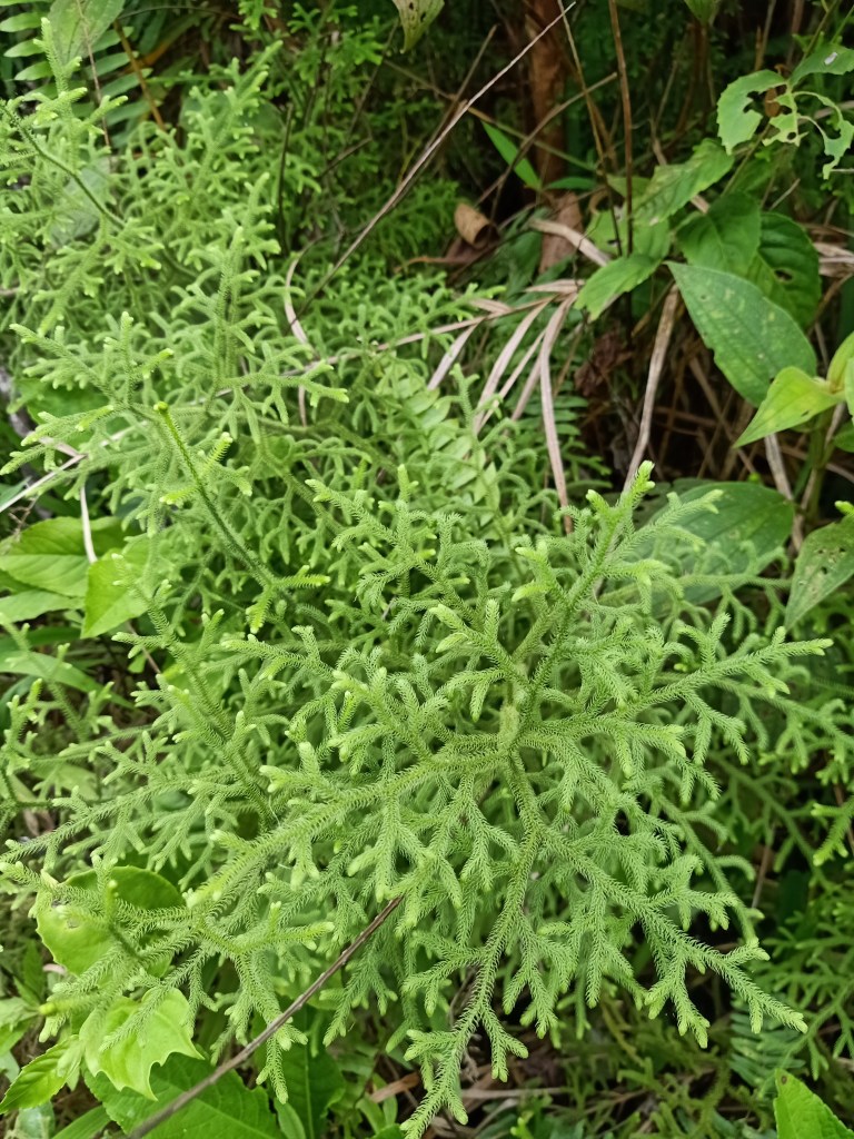
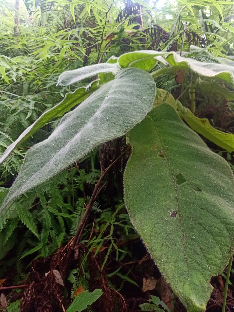
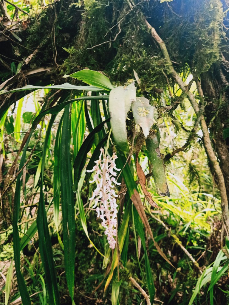
Although I was able to take this trail last week, there were quite a few new things that I was able to experience in this hike – we were able to hear and see some wild birds and spotted weirder plants. I was able to spot some brown wild bird that flew off its nest. Mac also spotted another bird from a distance. In the early parts of the hike, we were also able to hear an owl. Of course, different species of wild plants were already present in the trail, the most prominent one would be the clubmoss, a fern-like plant that resembles a small pine tree.
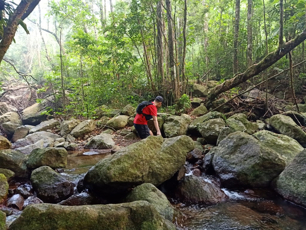
We reached the only water source of the entire hike at around 07:30 in the morning. It was in this stream where we decided in our Tanauan-Magsaysay hike a week before who would take the exit trail in the ambush area and who would push through with summitting the Magsaysay Mountains. Sadly, I was one of those who took the exit trail, which led me to this revenge climb a week after.
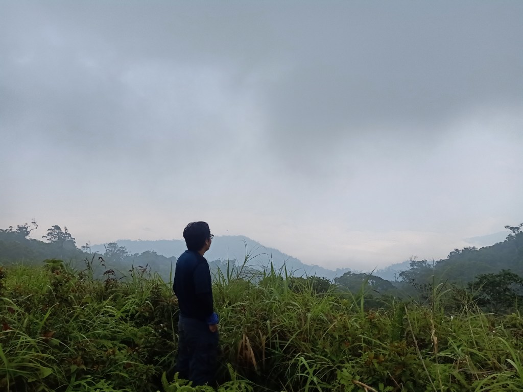
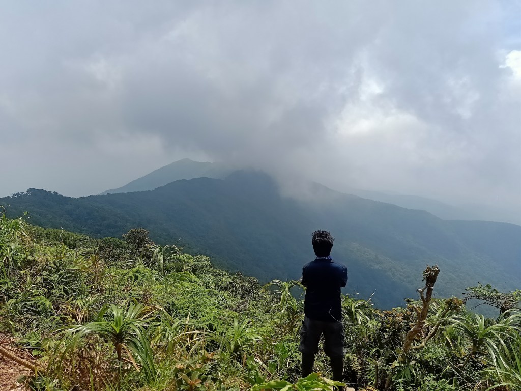
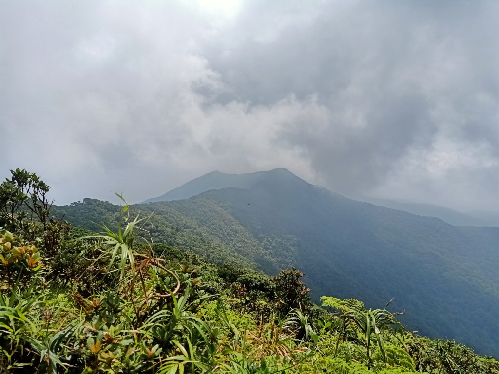
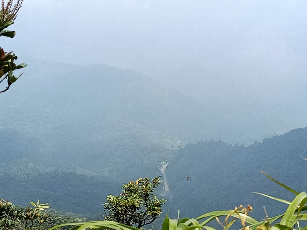
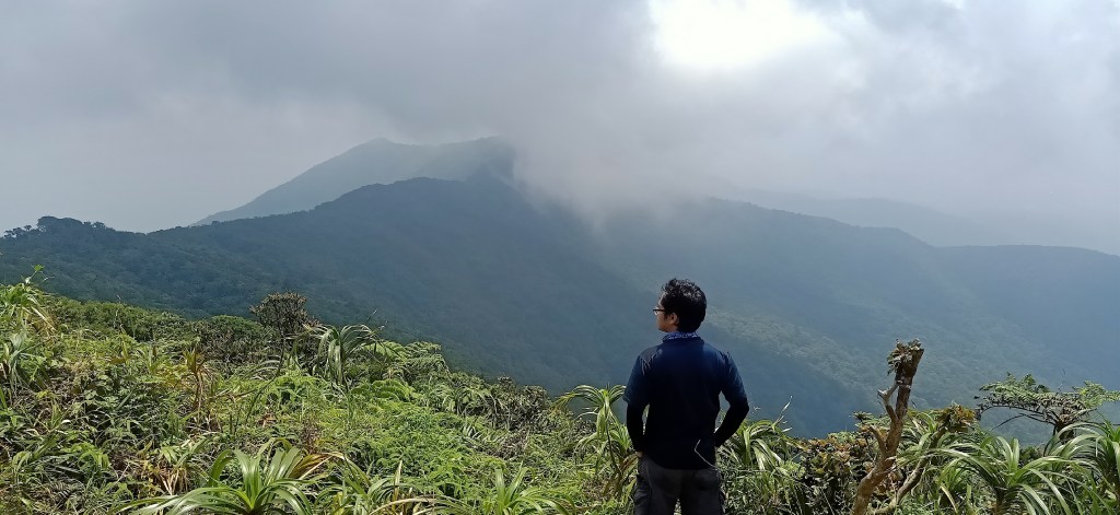
After thirty to forty five minutes of ascent, we reached the ambush area past eight in the morning. As what was stated in my previous blog, the ambush area is called as such because its trail is in the middle of two slopes where you can be ambushed if there is a gunfight in that area. We took some long rest there and snapped some pictures. Unlike last week, we did not get a clear view due to the thick swathe of fog covering the area. It seems like we will not have any view atop of the Magsaysay Mountains.
We resumed our ascent at around 8:45 in the morning. From here on out, everything that we will be taking is new territory for me. I will now be avenging last week’s failed attempt of summitting the Magsaysay Mountains.
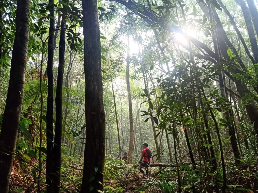
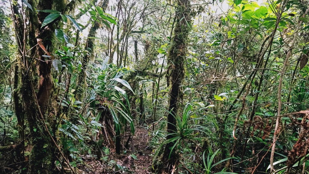
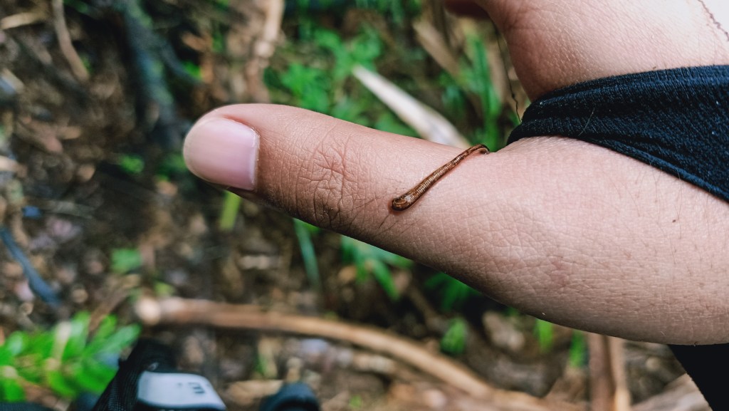
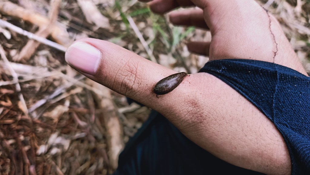
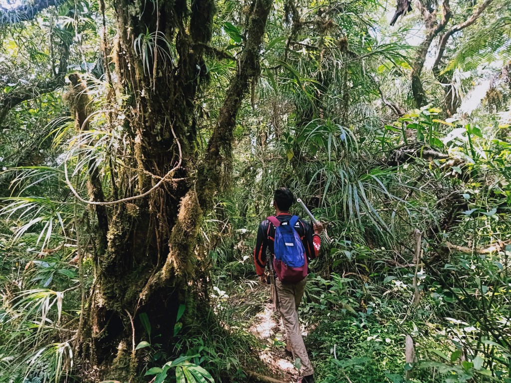
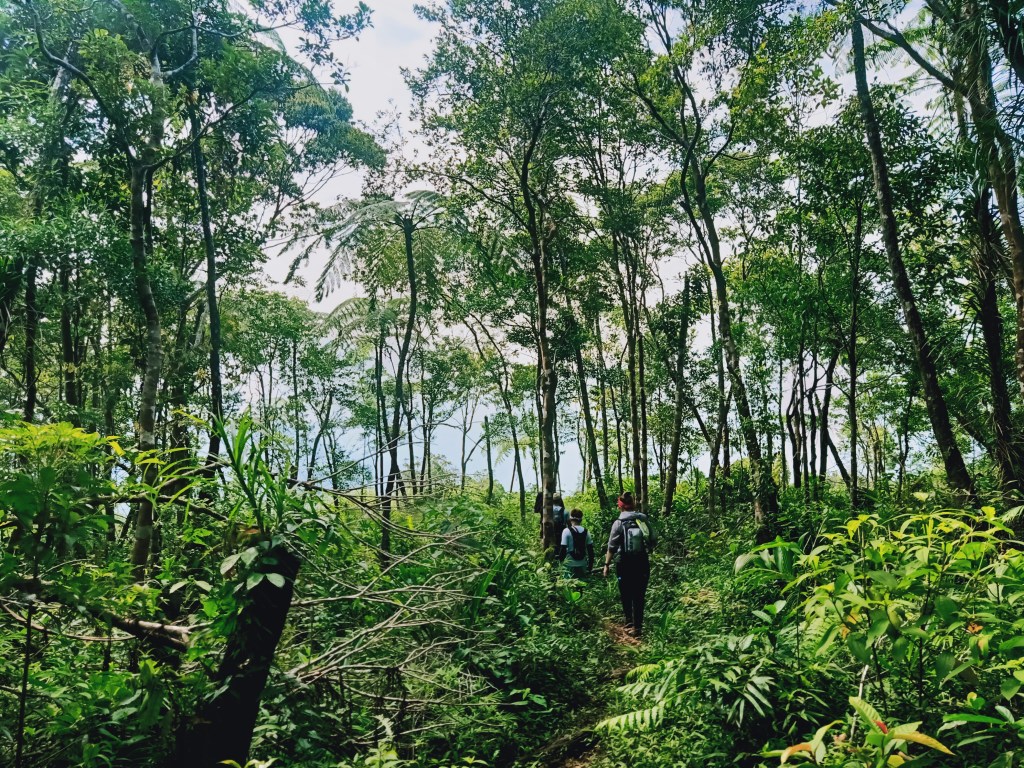
Even at the early parts of the assault, we were already experiencing a claustrophobic-like trail where we needed to push our way through thick walls of plants blocking the way. After gaining some elevation, the thickness stopped and we were inside a rainforest with a fairly-established but very steep and slippery trail. Guides are a must here as there are a lot of forks that lead to different parts of the mountain. After minutes have passed, I spotted an orange limatik between my thumb and my index finger. It suddenly turned brown as it sucked blood from my veins. I just permitted the little guy to gets its nutrients from me.
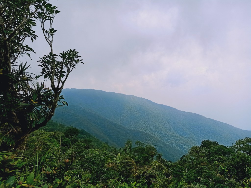
We reached the summit of Mt. Susong Dalaga (Peak 2) at around 9:30 in the morning, almost an hour after we started the assault from the ambush area. We stayed here for almost an hour to wait for the clouds to clear and get a view of the surroundings. At around 10, we were able to get a view of the eastern portion, where the two summits of Mt. Palokong Simbahan would mystifyingly appear from time to time. At the opposite side of the summit, I was able to spot Marilaque Highway below. On a clear day, one can view Lamon Bay, the Pacific Ocean at the eastern direction, and the mountains of Tanay, Rizal and General Nakar, Quezon in the northern direction, including Mt. Daraitan in Tanay and the gigantic Mt. Kamamasam.
We waited for our other companions lagging behind to reach the summit of Mt. Susong Dalaga. Since I was slowing down Mac and the other hiker, I decided to just tag with the rest of the group. Mac and the other hiker went ahead with their faster pacing. On the other hand, my newly-found companions and I decided to push through with the hike going to Susong Dalaga’s Peak 1, (1,095+ MASL) a little before 11. As we reached Susong Dalaga’s Peak 1, I was able to spot the opposite, Peak 2, at our rear, as if signaling me to go ahead, and that it was time to bid good bye. Fog was still everywhere. At around 11:30, we went past Peak 1 and had our rest and lunch break at an area a few meters away from the peak. We were under tall rattan trees which seemed to be the most abundant in that particular area.
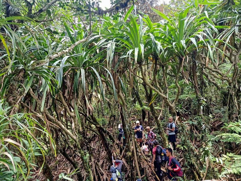
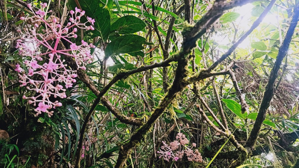
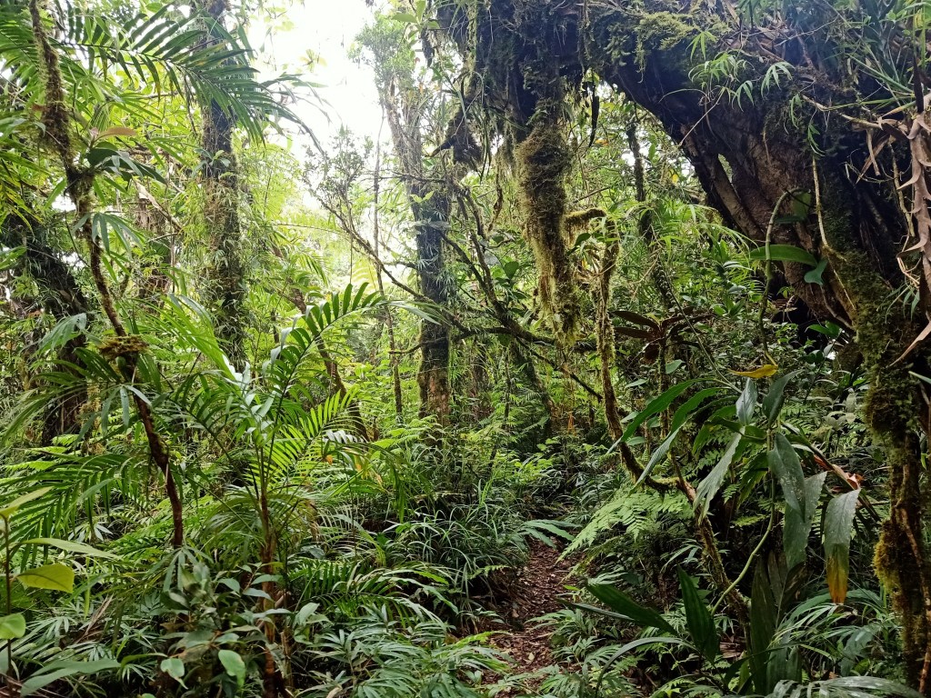
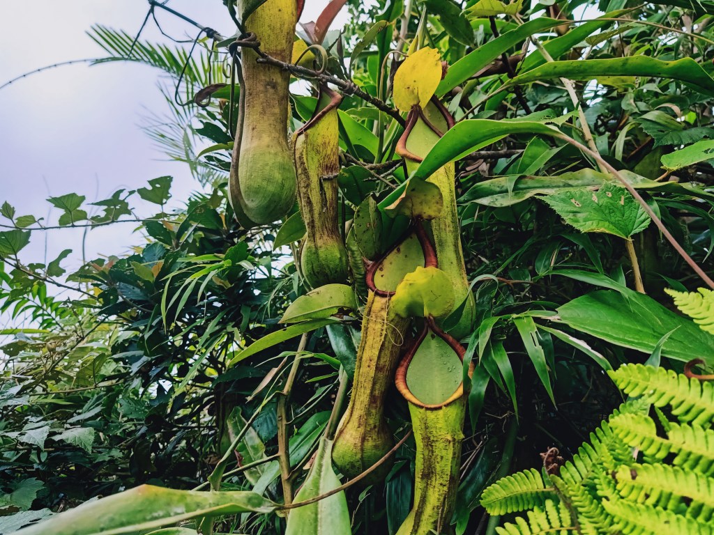
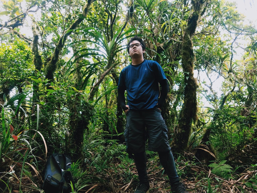
At around 11:45, we resumed our hike. The trail connecting Mt. Susong Dalaga and Mt. Palokong Simbahan was the highlight of the entire hike. The trail was on a mossy forest ridge teeming with flora and fauna. The diversity of species of plants and animals in this area was remarkable! It was such a sight to behold. It was also the easiest part of the hike. The trail was mostly flat and the path was clear unlike the claustrophobic parts in Mt. Susong Dalaga. It was also in this part where I was able to spot a pitcher plant! This was my first time seeing such a strange plant in the wild. As I was walking on the ridge, a black butterfly was flying in front of me, as if guiding and touring me in her mystical abode.
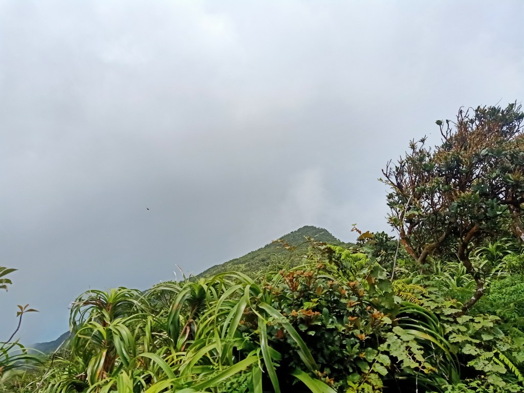
We reached Mt. Palokong Simbahan’s Peak 2 (1,034+ MASL) at exactly 12:45PM. The peak does not provide any view as it is in the middle of a thick, otherworldly mossy forest. We only snapped some pictures and went ahead going to Peak 1. We reached Peak 1 (1,015+ MASL) at 1:10PM, 20 minutes after leaving Peak 2. Unlike Peak 2, Peak 1 is a spacious area with a cleared view deck at one side, which was sadly covered with a thick fog once again. After having some water breaks and a couple of rest, we continued the hike to the last summit for that day – Mt. Binangonan.
The trail coming from Mt. Palokong Simbahan to Mt. Binangonan was on a descending ridge connecting the two mountains. The “mossy-ness” of the surrounding gradually dissipated as we lost elevation, coming from a thousand meters above sea level to a near eight hundred. Still, wildlife was abundant and the diversity of plants was noticeable. Sunlight also caught up.
We reached the summit of Mt. Binangonan (842+ MASL) past two in the afternoon. The actual summit of Binangonan is on the trail inside the forest that we passed through, which then exits into a wide view deck filled with cogon grass. Here, I was able to spot Agos River, a river that exits to the Pacific Ocean.
After snapping some pictures and taking a short water break, we immediately started the descent afterwards. Although the trails connecting the summits were on an almost flat trail, the descent from Mt. Binangonan, on the other hand, was on a constantly descending forest.
Although we were losing elevation quickly as we descended, the scenery remained to be otherworldly. In the lower reaches of the mountain, different dipterocarp trees were scattered along the slopes, reminiscent of how pine trees in the Cordillera were spaciously scattered. It was such a sight to behold and equally as magnificent as the mossy trees above. That even at this portion of low elevation, I would still halt and snap some pictures. Although I was tired at this point, I kept pushing as my eyes were craving for more scenery brought by this organic view. As we exited the forest, the trail became like a rural farm pathway that led to several houses.
Passing by the few houses a little past three, we reached Marilaque Highway where the house of our guide’s in-laws family was located. Our van driver was also waiting for us at that place. Magsaysay Traverse completed! I gave Mac and my other companions a fist bump as a form thanking them for this successful climb. It took me three attempts to get here and I finally made it!
We took our baths and ate some sinigang na manok and adobo prepared by Mac’s in-laws. We left for Metro Manila past five in the afternoon, passing by the coastal road in Infanta to drop Mac in his house in Real. Thanks a lot, man! I really hope I can go back to Magsaysay once again.
My hike to the Magsaysay Mountains may be by far my best hike for this year. The wilderness of the trail and the limited view (still) that it offered were such sights to behold. At a thousand meters above sea level, it gave off the mystical feeling that only mountains above 2500 MASL have given me in the past. Hopefully, the province of Quezon and the entirety of the Sierra Madre Mountain Range may open its marvel to those looking for a worthy adventure.
Itinerary
Day 0
10:00PM ETD Greenfield
Day 1
01:00AM Guide’s house in Real, Quezon, rest
05:00AM ETD to Barangay Hall of Brgy. Tagumpay
06:00AM Brgy Hall of Tagumpay, start hike
07:30AM Last water source, refill water bottles
08:00AM Ambush area
08:30AM Resume hike, start assault to Magsaysay
09:30AM Peak 2 Mt. Susong Dalaga, long rest
10:45AM Resume hike
11:15AM Peak 1 Mt Susong Dalaga, lunch
11:45AM Resume hike
12:45PM Peak 2 Mt. Palokong Simbahan
01:10PM Peak 1 Mt. Palokong Simbahan
02:00PM Mt. Binangonan
03:00PM Exit point, rest, eat late lunch
05:00PM ETD for Metro Manila
08:00PM Metro Manila
Note: It is best to coordinate with Mac Wilson before climbing the Magsaysay Mountains. Checkpoints both in Marilaque Highway and in the Famy-Real-Infanta Road are stringent when entering Infanta or Real since both towns are restricted areas. One needs an acceptance letter from either a barangay or the municipal hall of Infanta/Real to get past the checkpoint. For more information, you may contact Mac Wilson of Mudman Trekker on his Facebook account.

One thought on “Magsaysay Traverse (Mt. Susong Dalaga, Mt. Palokong Simbahan, Mt. Binangonan)”