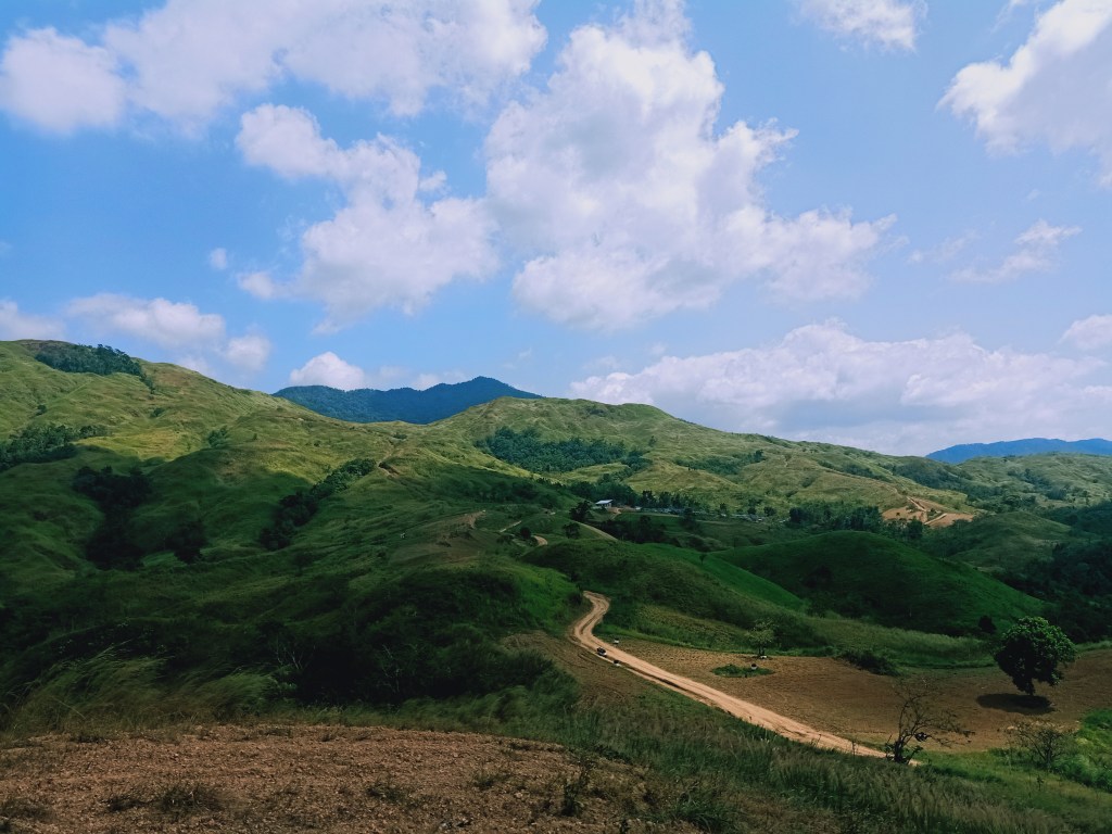
Joining an event organized by DIEhikers Unlimited, we traversed the grassy mountains and hills of Doña Remedios Trinidad in a hike dubbed as Kalawakan Penta Traverse, crossing five destinations: Mt. Mulawin (290+ MASL), Suklay Viewpoint (376+ MASL), Mt. Talim (510+ MASL), Mapurgas Peak (482+ MASL), and Palanas Viewpoint (333+ MASL), crossing over 16-17 kilometers of runnable trail on the grassy mountain slopes near Tila Pilon Hills. The hike took us only nine hours to finish, with a lot of stopovers and sleeping time along the way.
The specs for the whole hike are as follows:
Jump-off point: Sitio Calumpit, Barangay Kalawakan, DRT, Bulacan
Exit point: Sitio Palanas, Kalawakan, DRT, Bulacan
Difficulty: 4/9, semi-major climb
Trail class: 1-3
Features: grasslands and farmlands of DRT, view of the DRT mountains
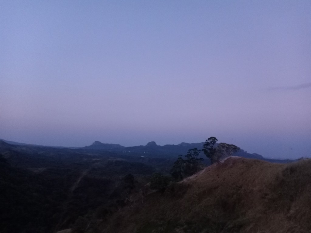
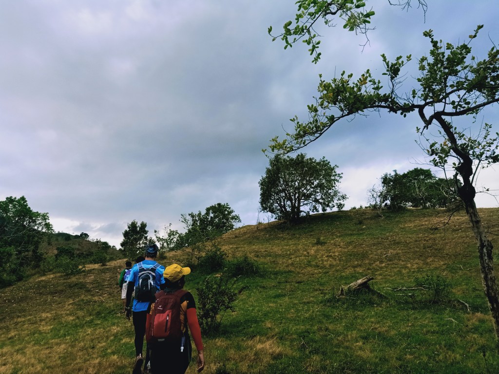
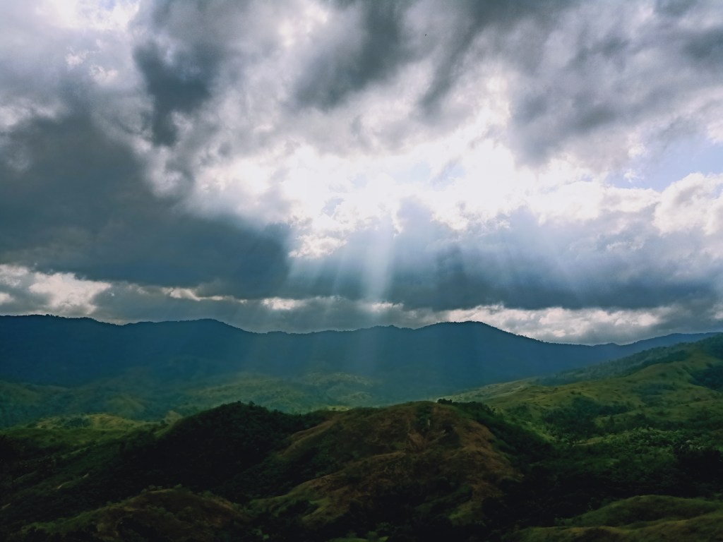
Arriving at the trailhead of Mt. Mulawin past five in the morning, we started the hike near Calumpit River with the sky still pitch black and the breeze of the air still cold. Crossing Calumpit River by leaping through rocks so as to not get wet (unlike my first hike here where I soaked by shoes wet), we went towards the kubo lot where a signage of Mt. Mulawin welcomes hikers. We then took the constantly ascending stair-like dirt path on the way to the ridge of Mt. Mulawin, which, just like my last hike, only took us twenty minutes to negotiate. Despite the short ascent, all of us were panting and sweating buckets arriving at the ridge. That ascent was a warm way to stretch our legs!

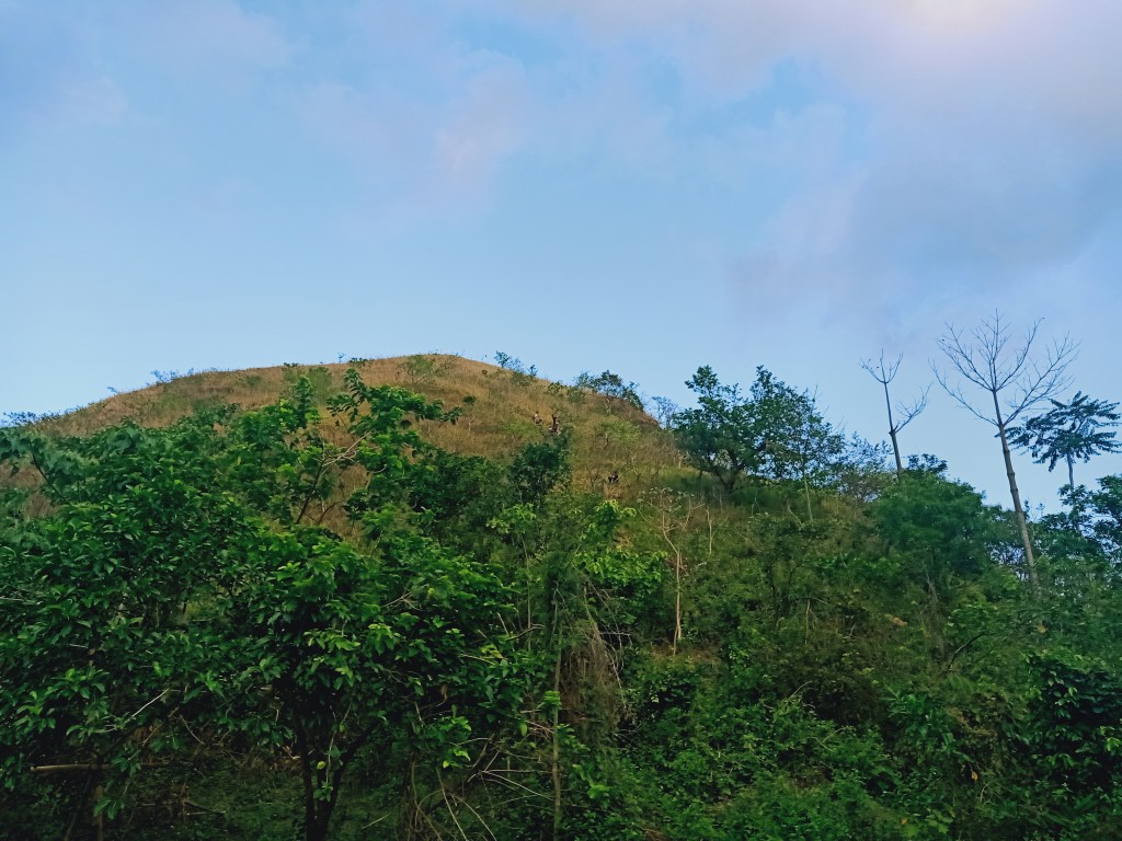
We waited for the sun to rise on the ridge of Mt. Mulawin. My companions took the time to snap pictures on the picturesque spots and manmade structures at the end of the ridge, where a backdrop of the mountains near Biak-Na-Bato National Park can be seen. This mountain complex includes Mt. Mabio, Mt. Susong Dalaga, Mt. Nabio, and Mt. Pinagbanderahan. As the sun illuminated the surroundings and turned the sky from black to blue, we went towards the summit of Mt. Mulawin, which was on the left side of the ridge. Here, a makeshift wooden structure with eagle wings, an allusion to the name Mulawin, is put on the middle of the summit. After snapping some pictures, we descended at the other side of the mountain.

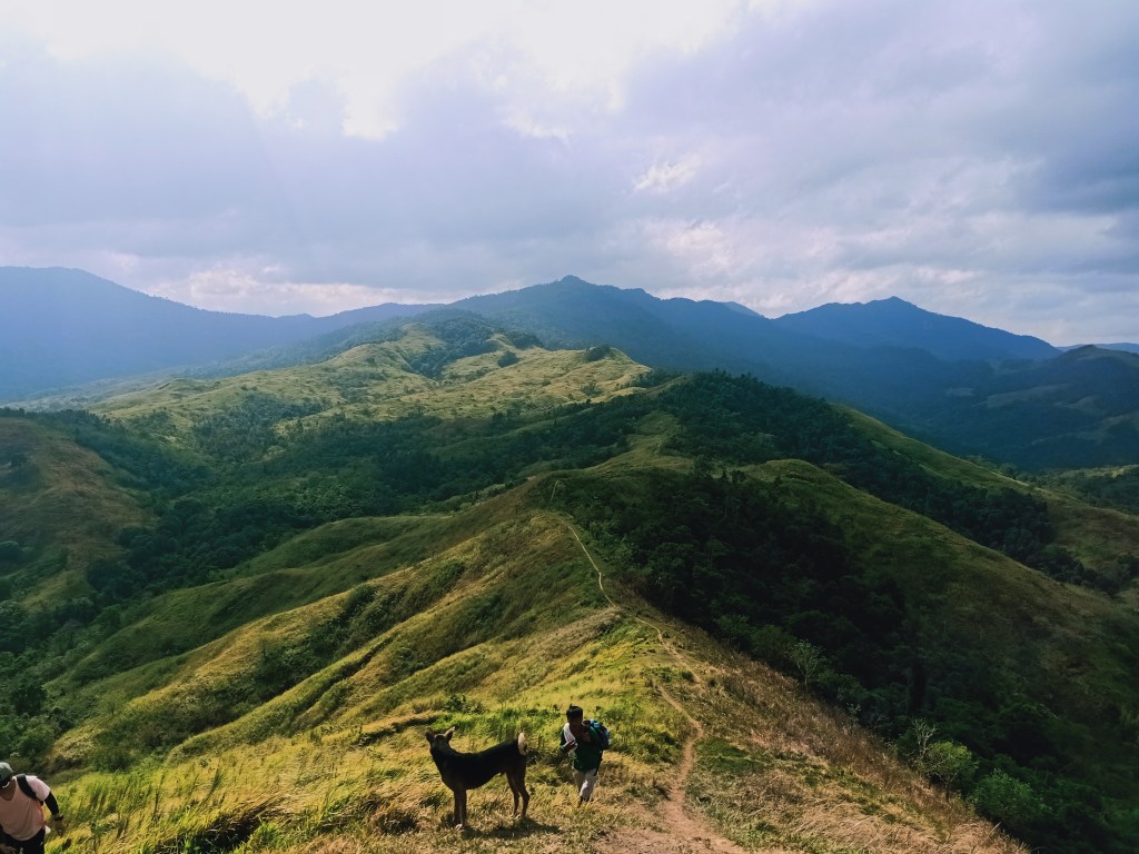
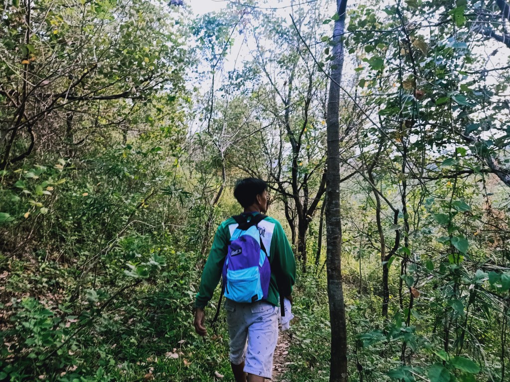
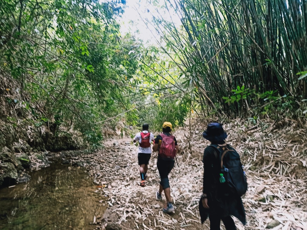
The five minute descent was reminiscent of the notorious slopes of Mt. 387 going down to Aloha Falls. It was steep, slippery, and one can slide on flattened grass! I chose to do a mixture of normal descent and a modified and quick version of what hikers call as GPS (gapang para safe). When everyone successfully descended, we went ahead. The trail post-Mulawin was a series of local paths that crosses the side of the mountain range at the rear of Mt. Mulawin, many of which fork to different paths and contains wires and wooden fence which we needed to pass through. The slopes here were surrounded by a mixture of cogon grass, shrubs, and short, dead trees. The trail was runnable, and we even jogged a portion of it!
We arrived at Suklay Viewpoint at around 7:30 in the morning. The place was a wide grassy plateau that can serve as a camping area, reminiscent of the plateau in Mt. Talamitam. Here, we took a long rest and had our breakfast. The other group that was doing a Kalawakan Penta Traverse on that day, Nomad Terra Crawlers, caught up to us at that point. While having our breakfast, my companions and I shared stories of our Mt. Silad hike back in January, reminiscing the adventure that we had exploring the immaculate forests of the towering mountain in the same town.
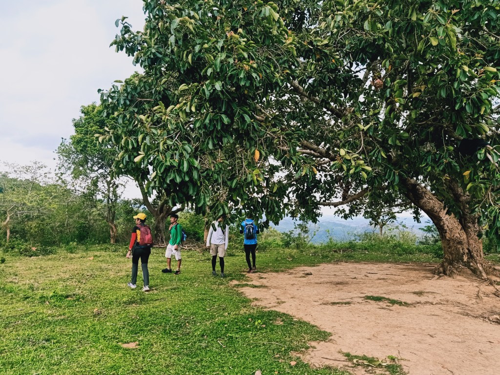
We continued the hike going to the third and highest mountain of the Penta Traverse, Mt. Talim. Suklay Viewpoint and the fourth summit that we will be taking (Mapurgas Peak) are actually directly connected to Mt. Talim and may seem as one mountain when seen from afar.
The trail going from Suklay Viewpoint to Mt. Talim was on an exposed, constantly ascending trail that crosses below the summit of Mt. Talim. On the right side of Mt. Talim’s summit, the trail forks where to the left, the trail leads to the actual summit of Mt. Talim, and the trail to the right continues to Mapurgas Peak.
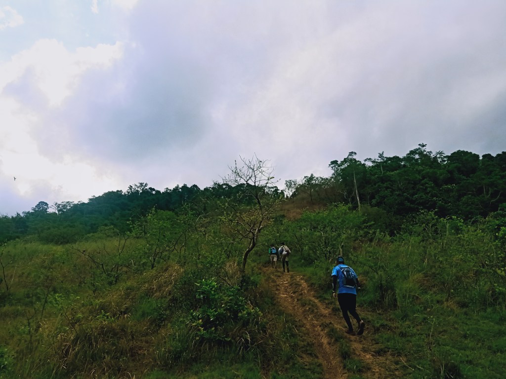
The trail en route to the summit of Mt. Talim was sharply inclined, an allusion to its name. At the summit, the trail runners from Nomad Terra Crawlers were taking their pictures. They went ahead and descended when we reached the top.
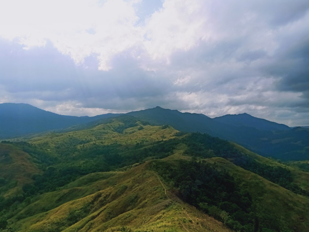
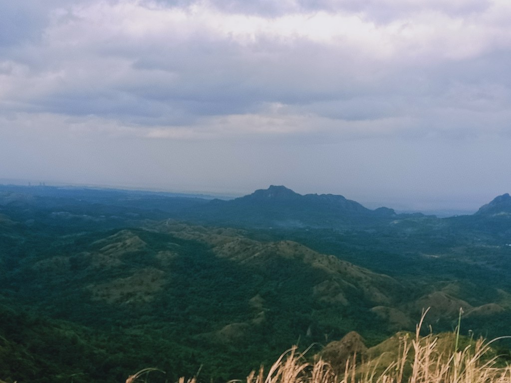
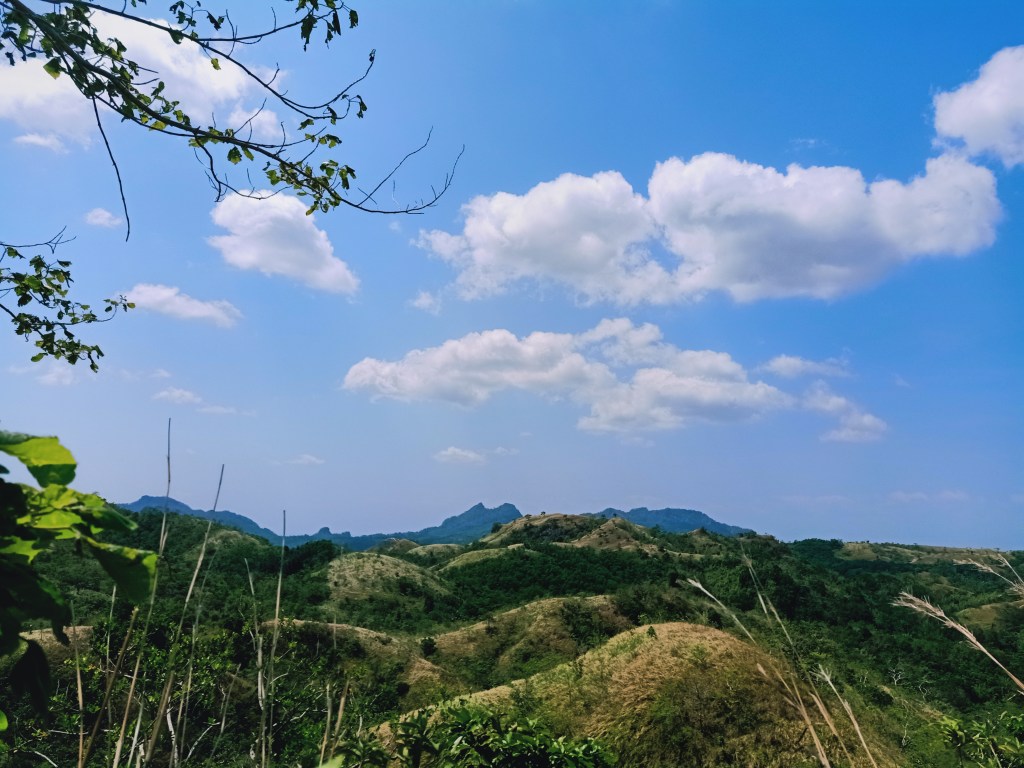
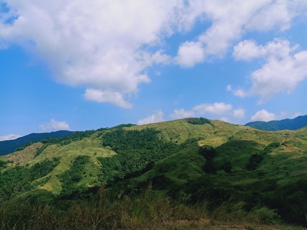
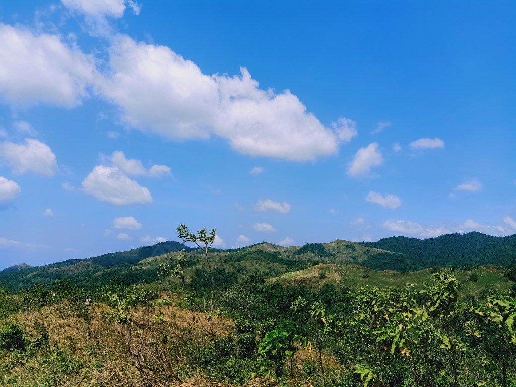
The slope going to the summit of Mt. Talim provides the most jaw-dropping, magnificent view of the entire hike. Along its slopes, one can have a hundred and eighty degree view of the mountains nearby. To our front is the continuation of the trail going to Mapurgas Peak, and behind it are the slopes of what I can only assume as Mt. Silad, also called as Bulacan Peak and Mt. Tanawan to locals and hikers. To our extreme right is Mt. Mabio and the hills near Tila Pilon. To our left is a wall of mountain slope which forms the right end of Mt. Sumacbao.
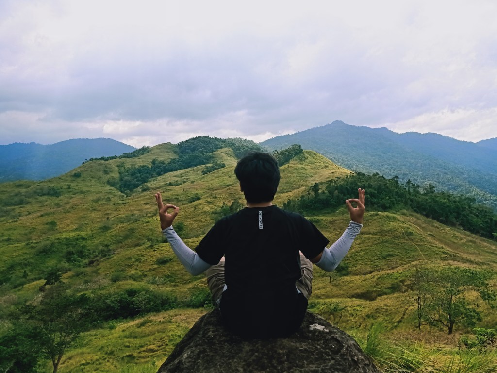
After snapping some pictures and having ample rest at the summit of Mt. Talim, we descended the grassy ridge on the way to Mapurgas Peak, which we reached only within a few minutes. We stayed there for a few minutes, enjoying the windy weather, and snapped some pictures.
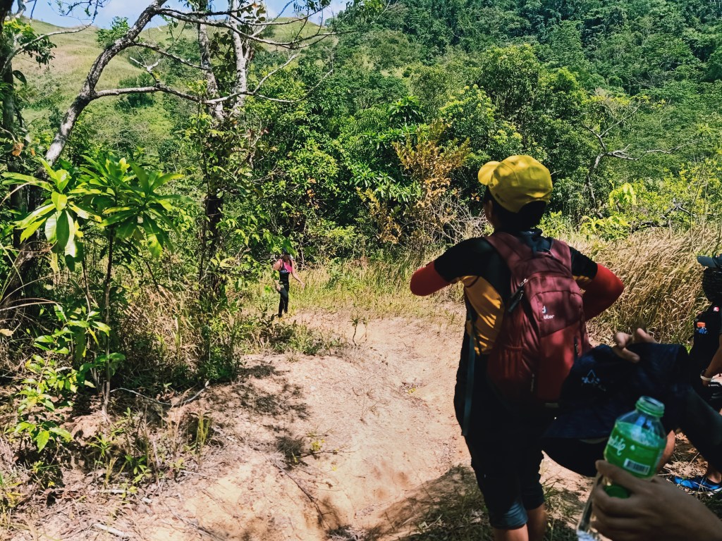
We then went right of Mapurgas Peak and continuously descended along the grassy slopes of the mountain. Since the sun was starting to become a punisher, we rested on a mini-plateau on the middle of the mountain slope on the way down. We munched on our trail food as the heat was tiring our bodies. Afterwards, we continued the descent until reaching the bottom-most part of the slope that contains an almost dried stream.
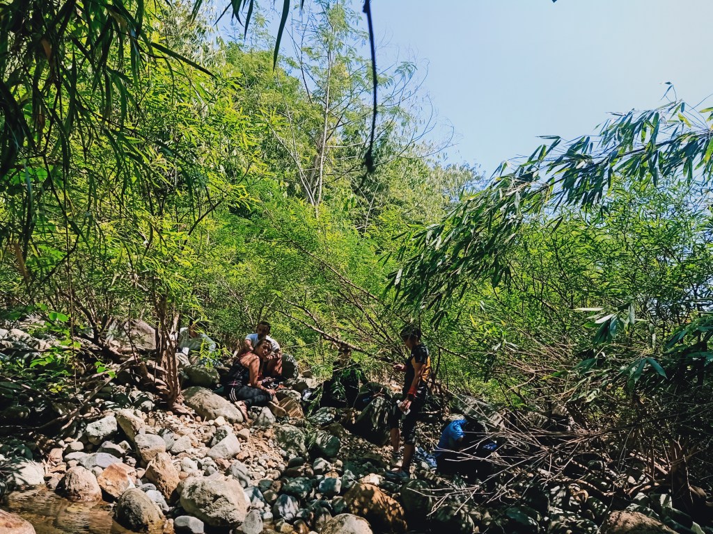
The stream was covered with shrubs along its dried bed with two mountain slopes tightly squishing on its side. There, we refilled our water bottles and had our lunch. We also slept for less than two hours, as we needed to recuperate before taking the inferno-like trail going to Palanas Viewpoint. On a slanted sharp boulder with a cold surface, I lay down and slept. Past twelve noon, we were woken up by our companions so that we could continue the hike.
Still reeling form the sleepiness, I walked on a steady and slow pace so as to not force my consciousness to awake. We followed the entire stream for less than an hour, with me leaping on rocks so as to not soak my shoes wet. This stream connecting Mapurgas Peak and Palanas Viewpoint is the longest part of the hike, as the mountain range that forms Mt. Mulawin, Suklay Viewpoint, Mt. Talim, and Mapurgas Peak are actually separated geographically from Mt. Palanas.
In no time, we reached the base of Palanas Viewpoint. Prior to taking the last assault, some of our companions dipped on a water basin on the side of the trail to cool their bodies. It was a much needed bath before taking the hellish, scorching trail going to Palanas.
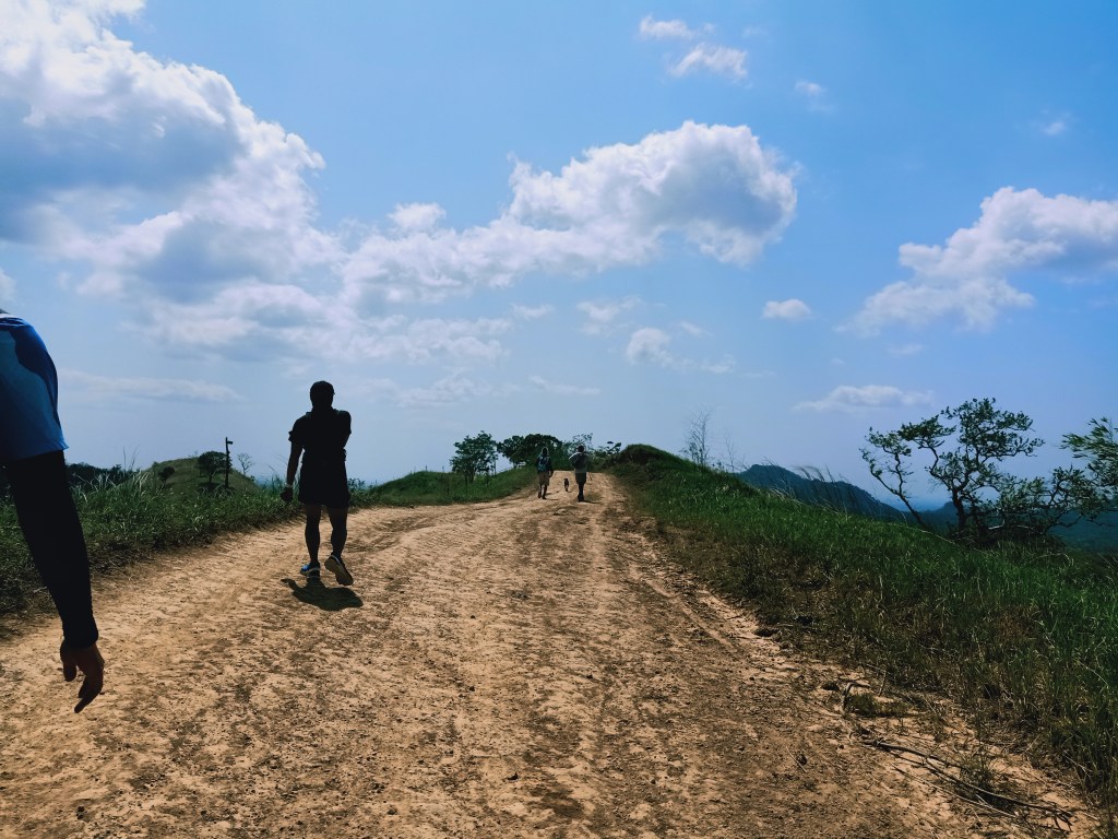
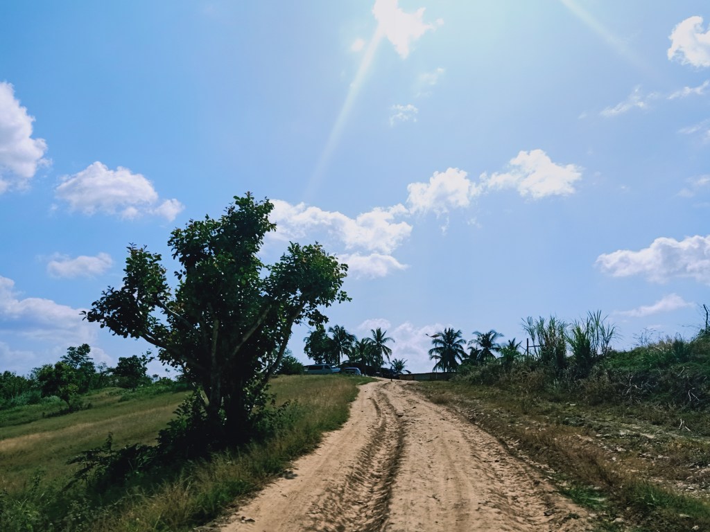
The trail going to Palanas from that river was on a wide dirt road reminiscent of the lower slopes of Mt. Pigingan. It was dusty, slippery, and constantly ascending. There were so little tree cover at this point that I was feeling the sun’s heat on every part of my upper body and my exposed calves. I even put a towel on my head and it didn’t work. We had two stopovers by the side of the trail which provided some small shade.
After a kilometer of assault, we exited towards a dirt road, which provided us a view of Mt. Palanas to the left. On the bottom of Mt. Palanas’ slopes, we spotted a community of houses, with a dirt road directly connected from the road that we exited through. This particular mountain was said to be owned by a dominant church group here in the Philippines, thus explaining the community below the mountain.
The Kalawakan Penta Hike does not include summitting the peak of Mt. Palanas. However, this is very doable, just not during our hike as we were already soaked in the sun’s punishing heat.
After taking some pictures and munching on our last supply of trail food, we descended on the wide dirt road to our right, whereby after a few minutes, a guard post greeted us. Here, we logged our names as a form of exiting the private lot.
On that post, we can already see our van perched on a hill a few kilometers away from us. Since it was dirt road all the way, we took the chance to jog and run on the way down under the excruciating heat of the sun. I stopped after covering a few meters of distance and just walked all the way. When our van was becoming near and visible, I went ahead and ran towards it, and upon reaching it, I searched for any form of shade provided by the vehicle as the heat was just painful. There, we took some of our leftover water and trail food. Everyone arrived a few minutes shortly. It was two in the afternoon, nine hours after starting the hike!
We went to Mt. Pinagbanderahan’s jump-off point to eat lunch and cleanse ourselves. Afterwards, we went home. They dropped me off in the town of Balagtas, and from there, I commuted on the way home, reaching Malolos City at six in the evening. Upon arriving home, I glimpsed at a darkened man in the mirror — ako pala ‘yun — burned slowly and painfully by the sun while walking and enjoying the trails of Barangay Kalawakan.
It has been my sixth hike in DRT just this year (2021), and yet I am discovering and unlocking more and more destinations in this humble town. During our hike, I wanted to reach the actual summit of Mt. Palanas, but it was already too scorching and time-consuming to go there. It also got me fired up to explore the northern mountain ranges of DRT—Corona and Sumacbao—which sits on the border of Bulacan and Nueva Ecija. Of course, the vast mountains behind Silad and Sumacbao are all relatively unexplored, which keeps me wondering how many summits and forests will we take to push through those pristine areas.
I guess only time will tell, but I’m betting for it to be sooner than expected.
Itinerary
05:15AM Start hike
05:40AM Mulawin ridge, wait for sunrise
06:40AM Start descent going to Suklay Viewpoint
07:40AM Suklay Viewpoint, breakfast
08:10AM Continue hike going to Mt. Talim
08:30AM Mt. Talim, rest
09:00AM Start hike to Mapurgas Peak
09:20AM Mapurgas Peak, rest
09:40AM Start descent to water source
10:30AM Water source, lunch, rest
12:00PM Continue hike
01:00PM Palanas Viewpoint, start descent
02:00PM Exit point
