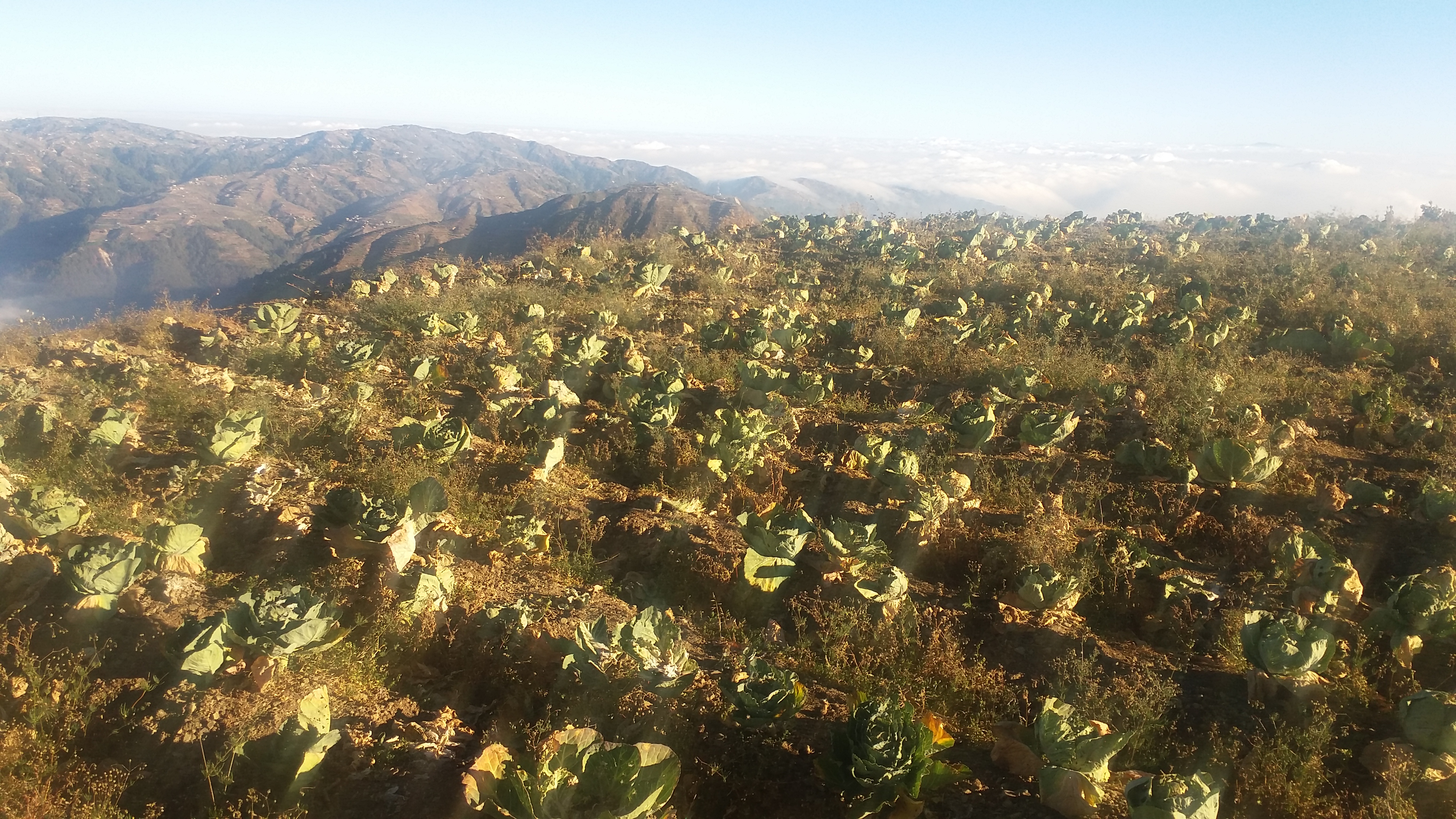
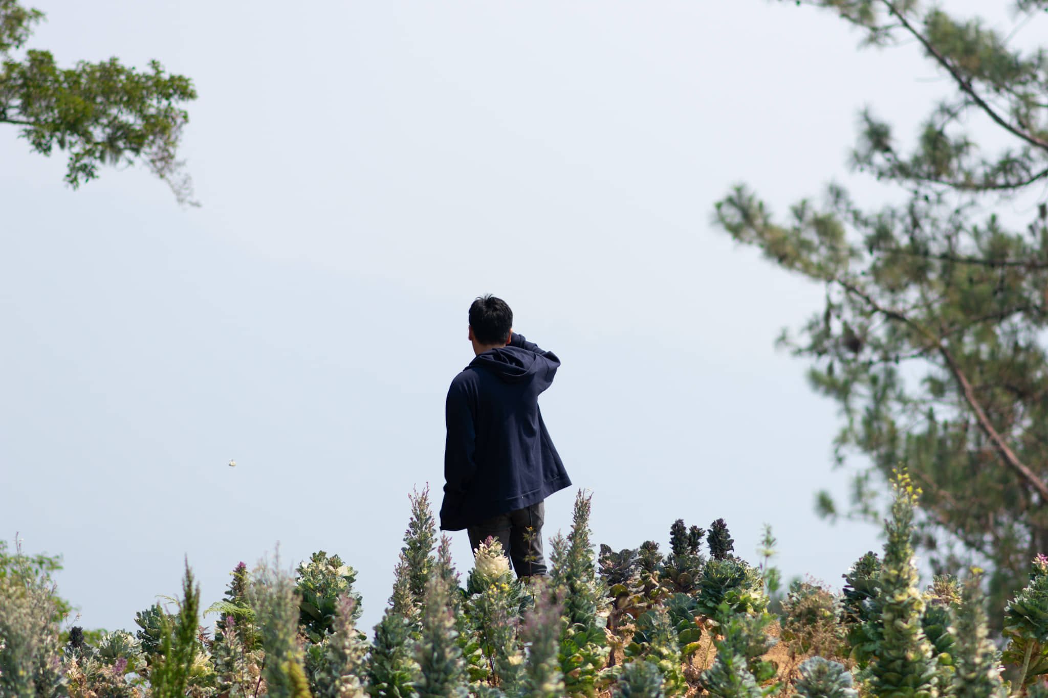
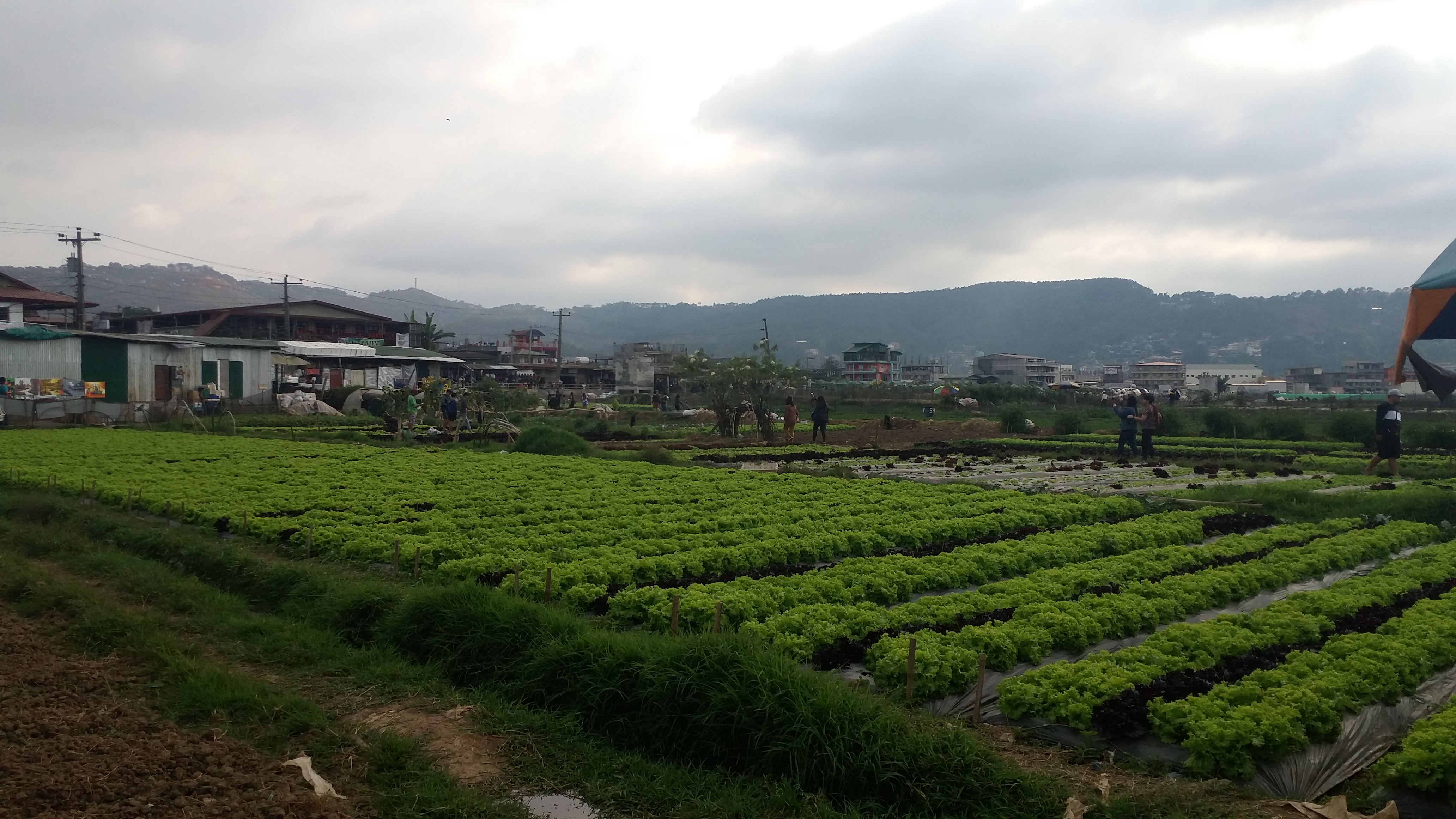
I started 2019 with two easy dayhikes in January, summiting Mt. Tagapo in Binangonan, Rizal, and Mt. Balagbag in San Jose del Monte, Bulacan. After a month, I found myself again doing another easy hike, this time, as a joiner in an organized trip in Benguet’s very own Mt. Timbak. Situated in Atok, Benguet, Mt. Timbak (also called Mt. Singakalsa) is the third highest summit in Luzon and ninth highest in the Philippines, with an elevation of 2717 meters above sea level (MASL). The summit, which is actually an agricultural land used by the locals, can be easily accessed through a 15-minute hike from the side of the road. Although one of Luzon’s grandest, Mt. Timbak does not offer the enchanting forest hike one would usually encounter in the Cordilleras. Instead, it lets you immerse in the local community rich in agricultural livelihood.

Joining me in my quest to summit the ninth highest point in the Philippines is JM, my long-time hiking buddy and college friend. We met with the group at McDonald’s in Panay Avenue, Quezon City. Joining us were Jim, the coordinator of the group, Rowie, an enthusiastic blogger, Charmaine, a simple woman from Bukidnon, and ten other individuals. We left the Metro at around ten in the evening, arriving at Sison, Pangasinan to have an early breakfast at Leeza’s at around two in the morning. There, I ordered my usual tocino, rice, and bulalo soup, coupled with a mandatory bathroom break afterwards (hehe). We ascended Baguio around three in the morning, reaching Mt. Timbak via Halsema Highway at around 5:30AM.
There are two options on climbing Mt. Timbak. One is starting from Halsema Highway, ascending the Mongoto-Kabayan Road until reaching Mt. Timbak. This takes around one to two hours, and is usually favored by DIY groups and organized trips whose vehicles cannot negotiate the roads ascending to Timbak. Second is negotiating your vehicle in the very narrow road going to the summit area. This will only take you a 15-60 minute hike going to the summit. Our van driver opted for the latter.
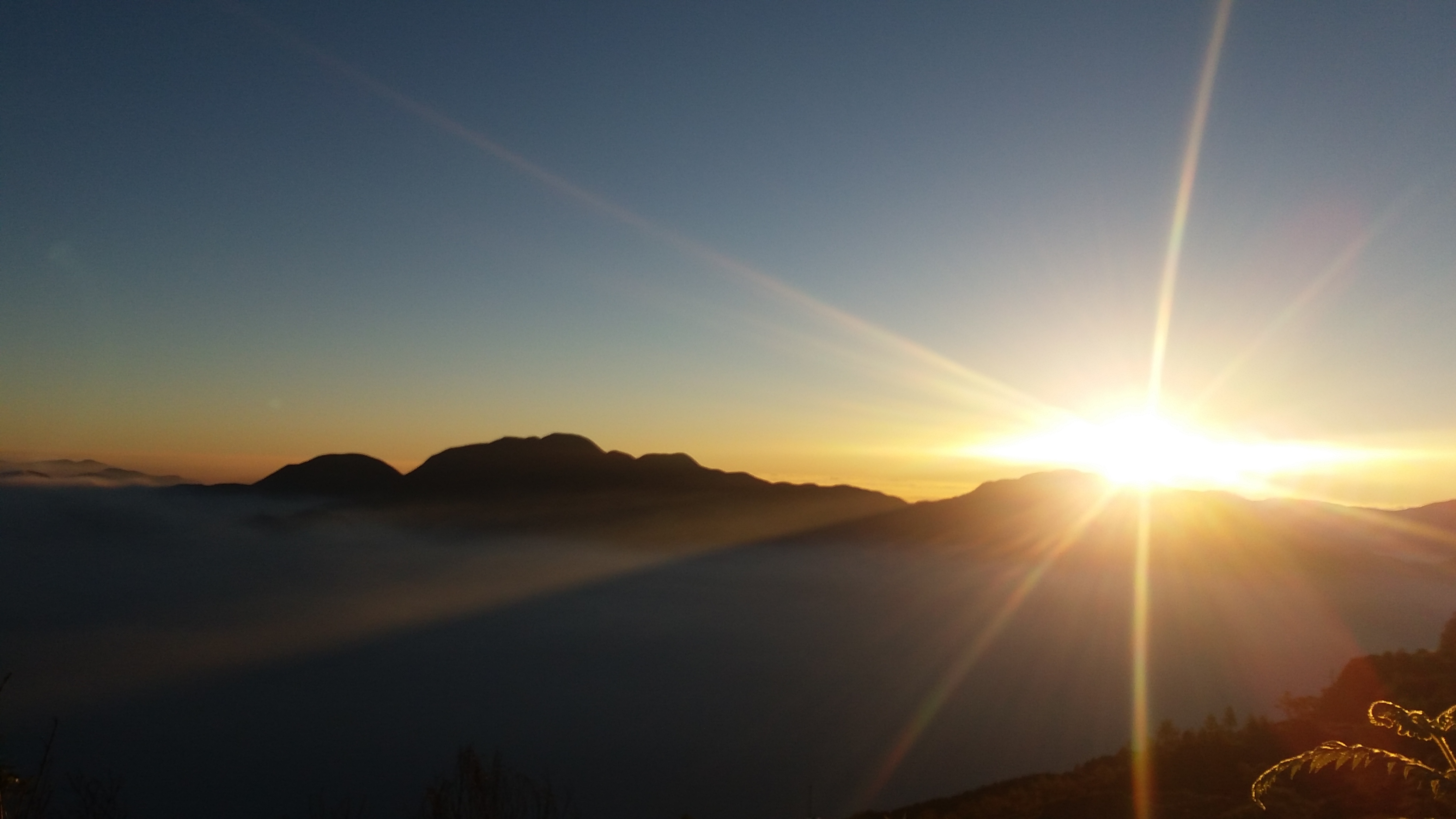
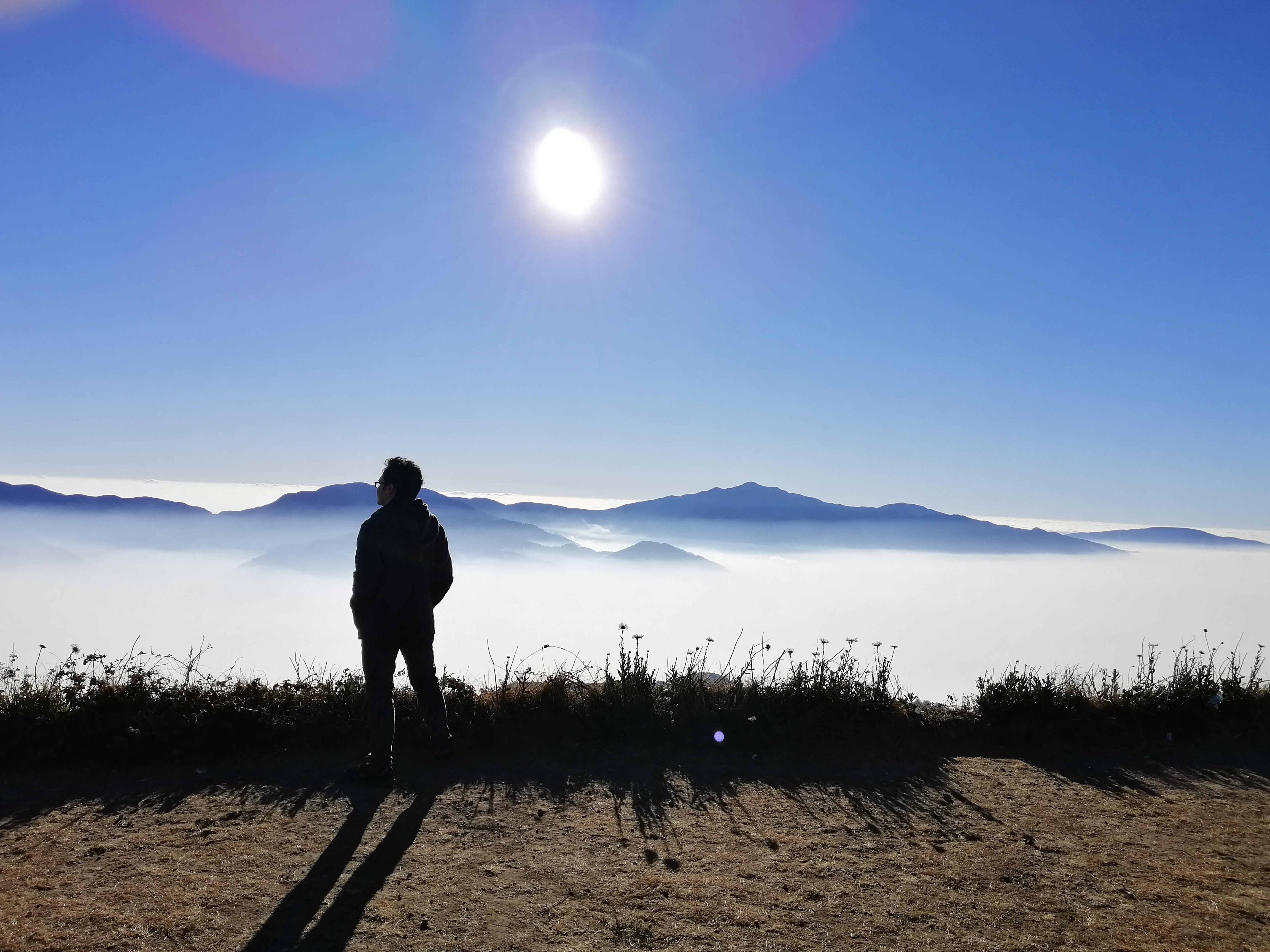
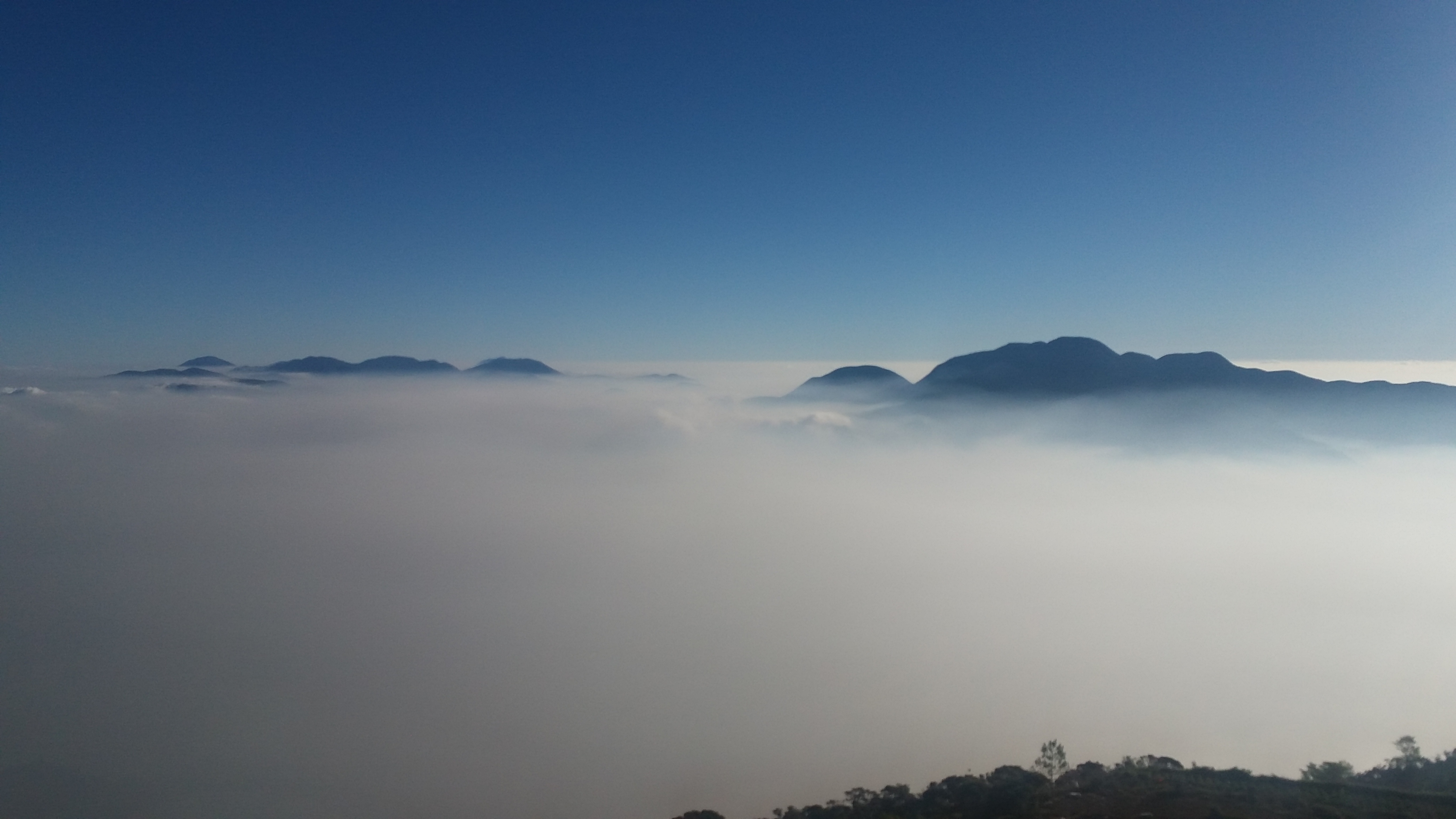
Reaching the fork that goes to Mt. Timbak, our van driver parked at the side of the road. There, we witnessed a magnificent sea of clouds that extends towards the horizon. Coming out from our vehicle, our skins were pierced with the biting cold from the atmosphere. I was already wearing a jacket at that time but I was still shivering from the cold. I put on a fleece jacket to thicken my layering, but it still wasn’t effective. My lips were going numb and I was still shivering. Screw it, I said. I’m gonna enjoy the cold. Walang ganito sa Bulacan.
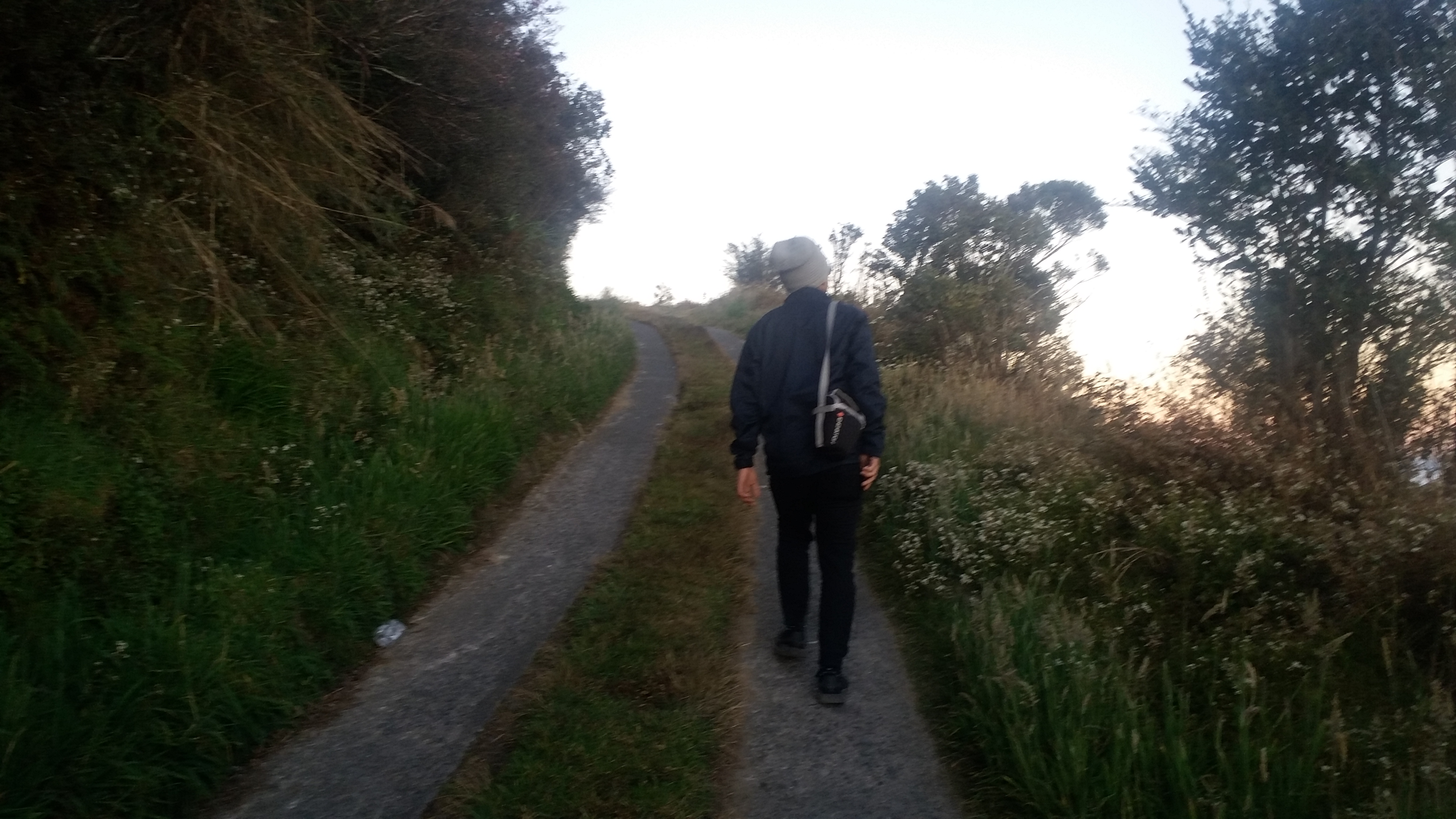
Enjoying the northern view, JM, Rowie, Charmaine, and I started ascending the road that leads to Mt. Timbak. Ascending was very easy, but it was very hard on the lungs. I was suffering from altitude sickness due to the lack of oxygen. Luckily, I managed ascending at a regular pace. Upon reaching the road where the three crosses that mark the summit area is visible, we made a left turn towards a stair-case pavement that leads to residential houses and agricultural farms. There, the ascent continues until reaching the 8 Stations of the Cross that leads to the Calvary. It was around seven in the morning.
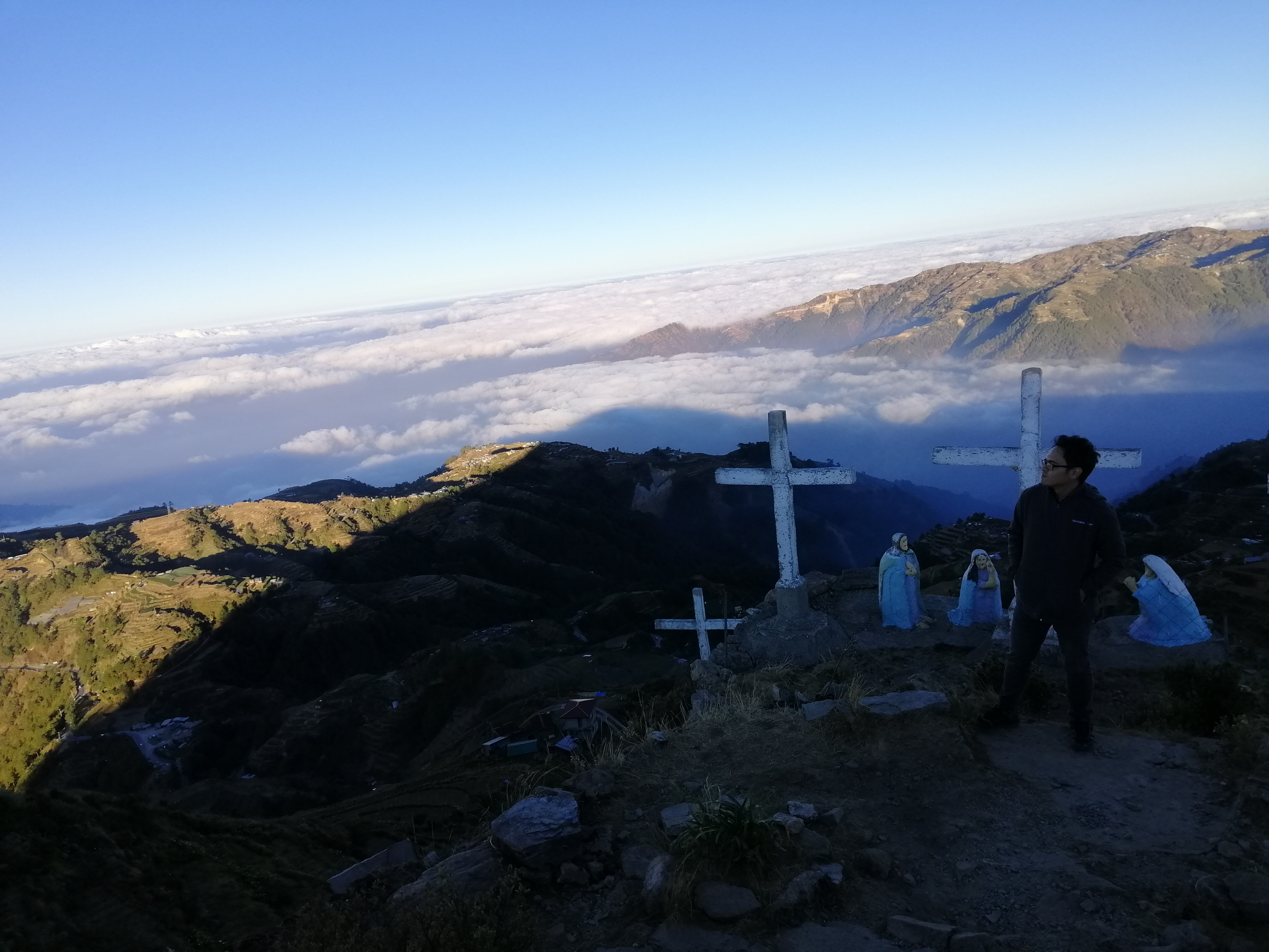
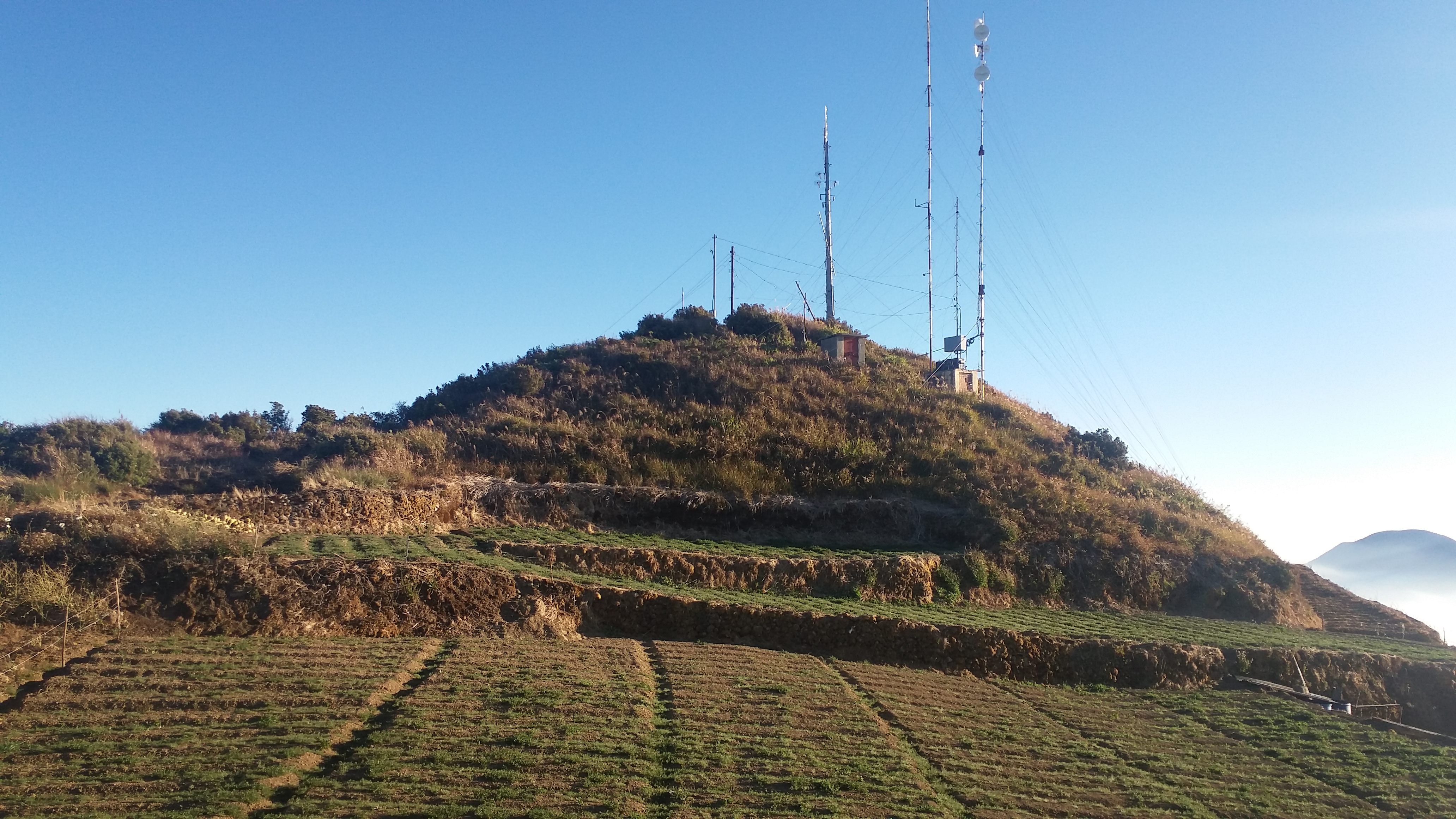
With JM and I reaching the Calvary first, we took pictures and then continued to walk at the real summit which is a few meters farther from where we were. The whole area was actually an agricultural land filled with planted crops, where in the middle is the highest point in the area where a transmission tower is erected. JM, Rowie, Charmaine and I went past through it and found ourselves at an open area where a magnificent view of the sea of clouds was present.
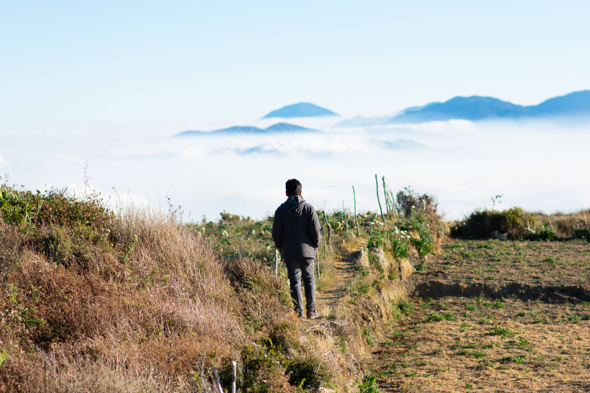
We took some ample time to enjoy the breathtaking view. To our southeast, Mt. Pulag’s pointy summit rises above the clouds in its magnificence, where the bright sun is rising upwards the blue sky. To our east, its neighboring mountains, Mt. Panotoan and Mt. Tabayoc, stands proud as the island’s second and sixth highest summit next to Pulag. It was such an honor greeting these grand mountains from another grand mountain. To our northeast, one can view Mt. Kalawitan, Luzon’s 4th highest summit and Philippines’ tenth highest. One can also view the three highest summits of Ifugao, which are included in the top 20 highest mountains in the Philippines: Mt. Napulauan (16th), Mt. Kapiligan (13th), and Mt. Abao (15th). Mount Amuyao, the island’s 5th highest and the country’s 11th next to Kalawitan, hides behind these mountains where its pointy peak loom.

As sunlight was already getting painful to the skin despite the cold wind, we descended Mt. Timbak after an hour of enjoying the splendid view. We took a stopover at a sari-sari store at the end of the 8 Stations of the Cross, where we had a Benguet-coffee break. We left Mt. Timbak at around nine in the morning. We backtracked in Halsema Highway towards to our second destination for the day – the Northern Blossoms. Going there, we had a mini stopover at Halsema Highway’s Highest Point (the highest highway system in the Philippines), with an elevation of 2300MASL. There, we had a clear view of the grandiosity of Mt. Timbak and its slopes.
We reached Northern Blossoms (which is still in Atok) past nine in the morning. There, we waited for our turn to enter the spacious garden of flowers. JM and I spent our time there taking shots within the fields of the flower plantations, where different species are present including cabbage roses, sunflowers, snapdragons, rice flowers, and a variety of other flowers. Although I am not very fond of flowers, I really enjoyed circling the whole place. Sadly, the whole area was enveloped by fog, covering the supposedly beautiful view of the Benguet mountains. We left the place at around noon and had our lunch at a stopover along the stretching road of Halsema Highway.
Reaching La Trinidad at around two in the afternoon, we stopped over at the strawberry farm, where I had two cones of their very delicious strawberry ice cream. Now, this is a big deal for me because I really hate anything that is strawberry flavored, but because the ice cream there really tastes like a real strawberry fruit, I’ve learned to love them. As I am munching on my ice cream, we wandered in the strawberry field filled with other tourists. Then, we bought some pasalubong until negotiating the heavy traffic roads going to Baguio. We went straight home afterwards. Another summit completed, coupled with a very relaxing trip in some of Benguet’s pride. ‘Til the next hike, Cordillera!
Itinerary
Day 0
09:30PM Meet-up at McDonald’s Panay Avenue, Quezon City
10:30PM Departure
Day 1
02:00AM Stopover at Leeza’s, early breakfast
03:00AM ETD Mt. Timbak
06:00AM ETA Atok, Benguet
07:00AM Summit of Mt. Timbak, photo ops
08:30AM Coffee break at the village
09:00AM ETD Northern Blossoms
09:30AM Highest Point, picture taking
10:30AM ETA Northern Blossoms
01:30PM Lunch along Halsema Highway
02:30PM Strawberry farm, La Trinidad, Benguet
04:30PM ETD Malolos
06:30PM Dinner at Leeza’s
10:00PM Malolos
